



Null-Einstieg in beengte Räume
Schützen Sie die Einsatzkräfte vor Ort durch vollständige dreidimensionale Kartierung aus der Luft. Vermeiden Sie gefährliche Gase, enge Zugangsschächte und komplizierte Zutrittsgenehmigungen.

Schnelle und hochdichte Punktwolken
Erfassen Sie Millionen von Raumpunkten in wenigen Minuten. Dank hochpräziser SLAM-Algorithmen generieren Sie maßstabsgetreue 3D-Modelle zur sofortigen Zustandsbewertung.

Vielseitige Hardware-Erweiterung
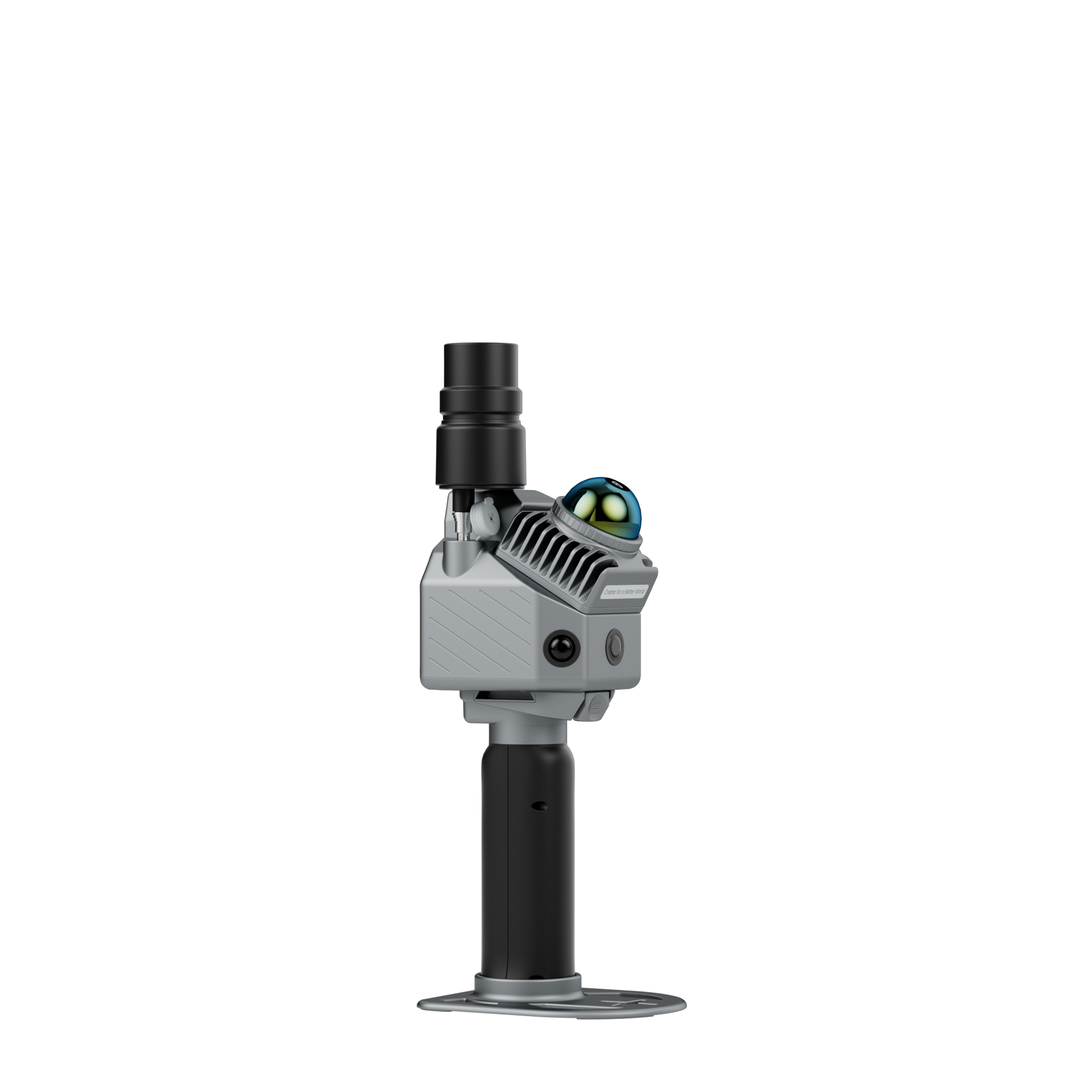
Die FJD Trion P2- oder V4e-Serie lässt sich nahtlos an leichten Kohlefaser-Verlängerungsstangen oder Absenkvorrichtungen für tiefe vertikale Profilierungen montieren.
Arbeitsablauf

01
Einrichtung & Bereitstellung
Befestigen Sie den LiDAR-Scanner an der Verlängerungsstange oder dem Absenkgurt und schalten Sie das System ein.


02
Oberflächen-Tiefen-Scan
Das Gerät wird sanft in den Schacht oder den unterirdischen Schacht abgesenkt, um vollständige 360°-3D-Strukturdaten zu erfassen.

03
Datenverarbeitung
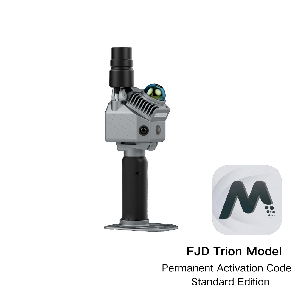
Importieren Sie Punktwolken in die FJD Trion Model / Model Web Software zur Rauschfilterung und Punktwolkenregistrierung.

04
Ergebnisse & Analyse
Exportieren Sie Querschnitte, 2D-CAD-Zeichnungen oder 3D-Netzdateien zur Untersuchung von Strukturfehlern, zur Volumenmessung und zum Anlagenmanagement.