

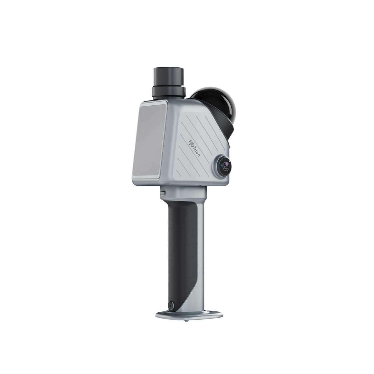
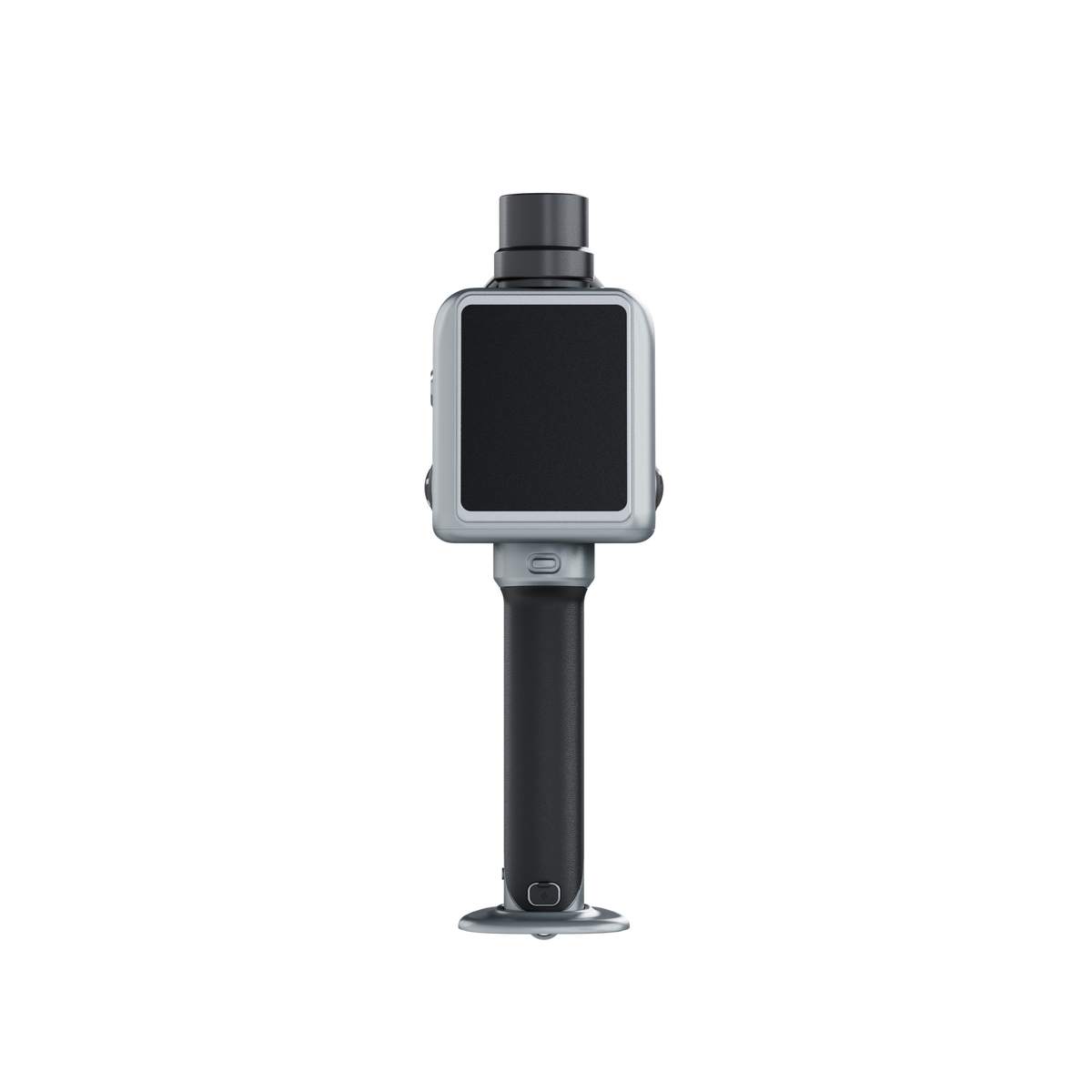
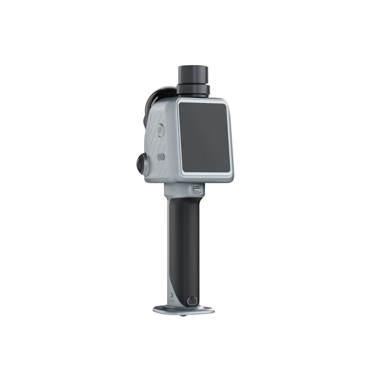
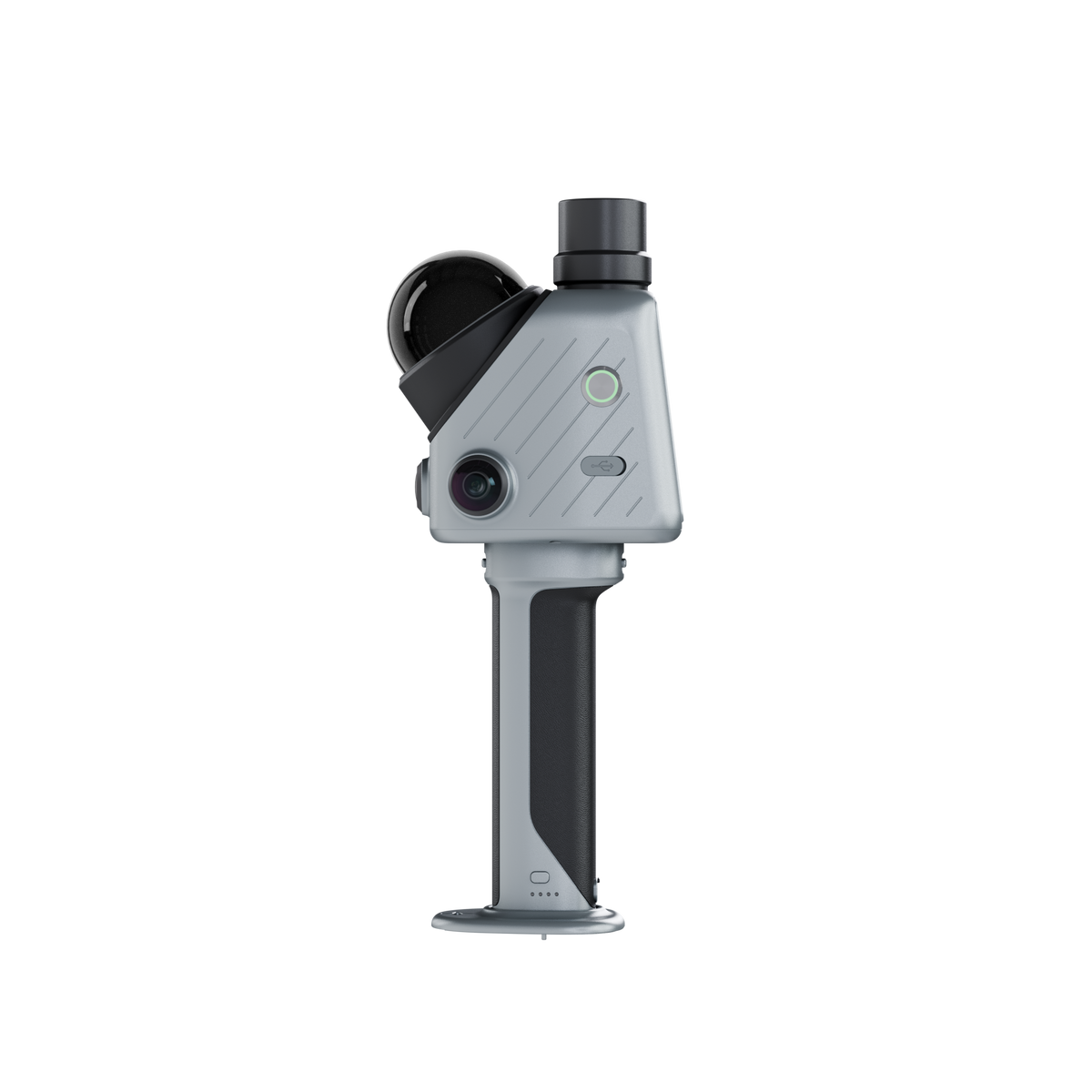
FJD Trion X1 Pro-grade spatial Scanner
- 384,000 points/sec scan rate
- ±1 cm post-processed relative accuracy
- Up to 70 m scanning range
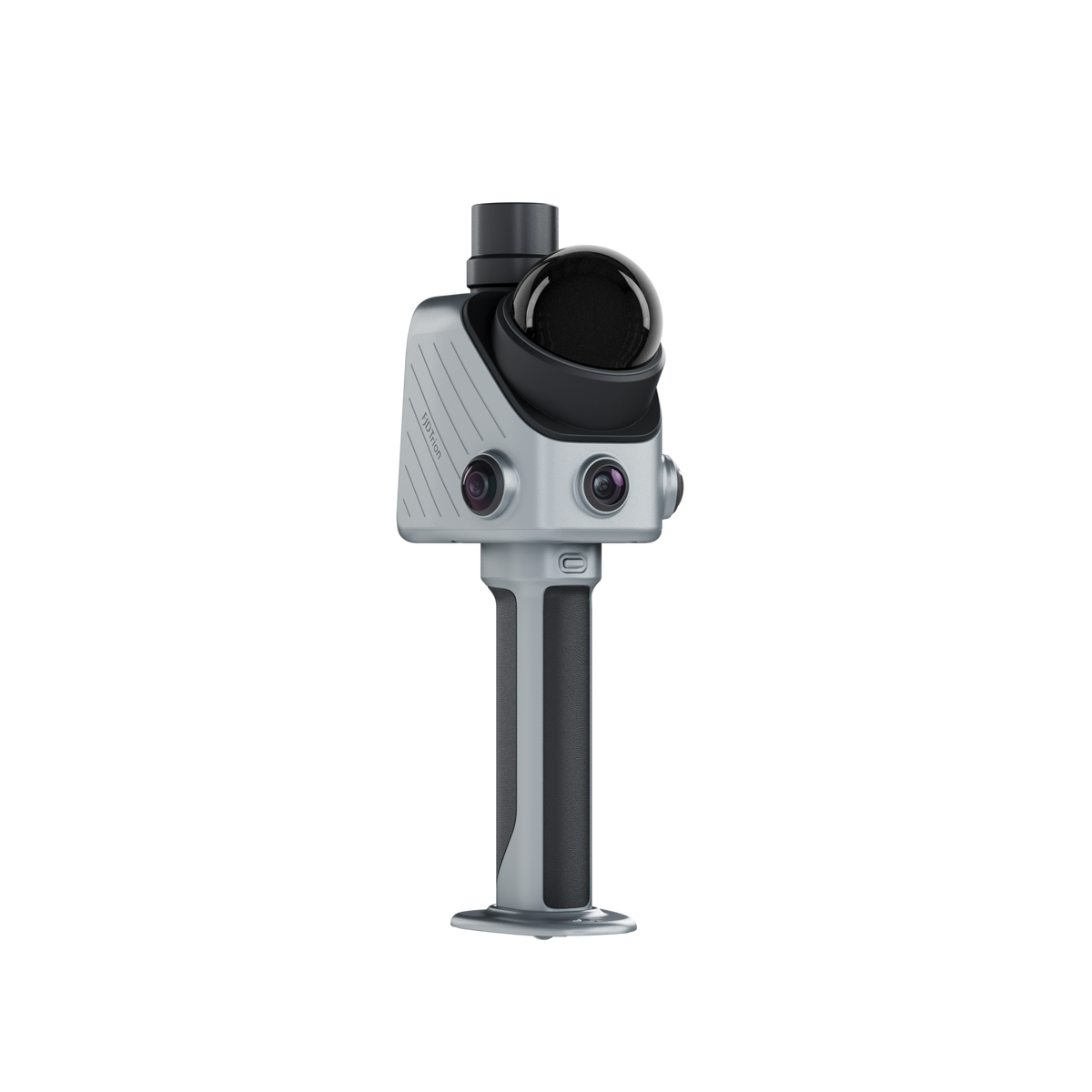
- Integrated GNSS & 360° panoramic imaging
- Built-in 3.9″ OLED display
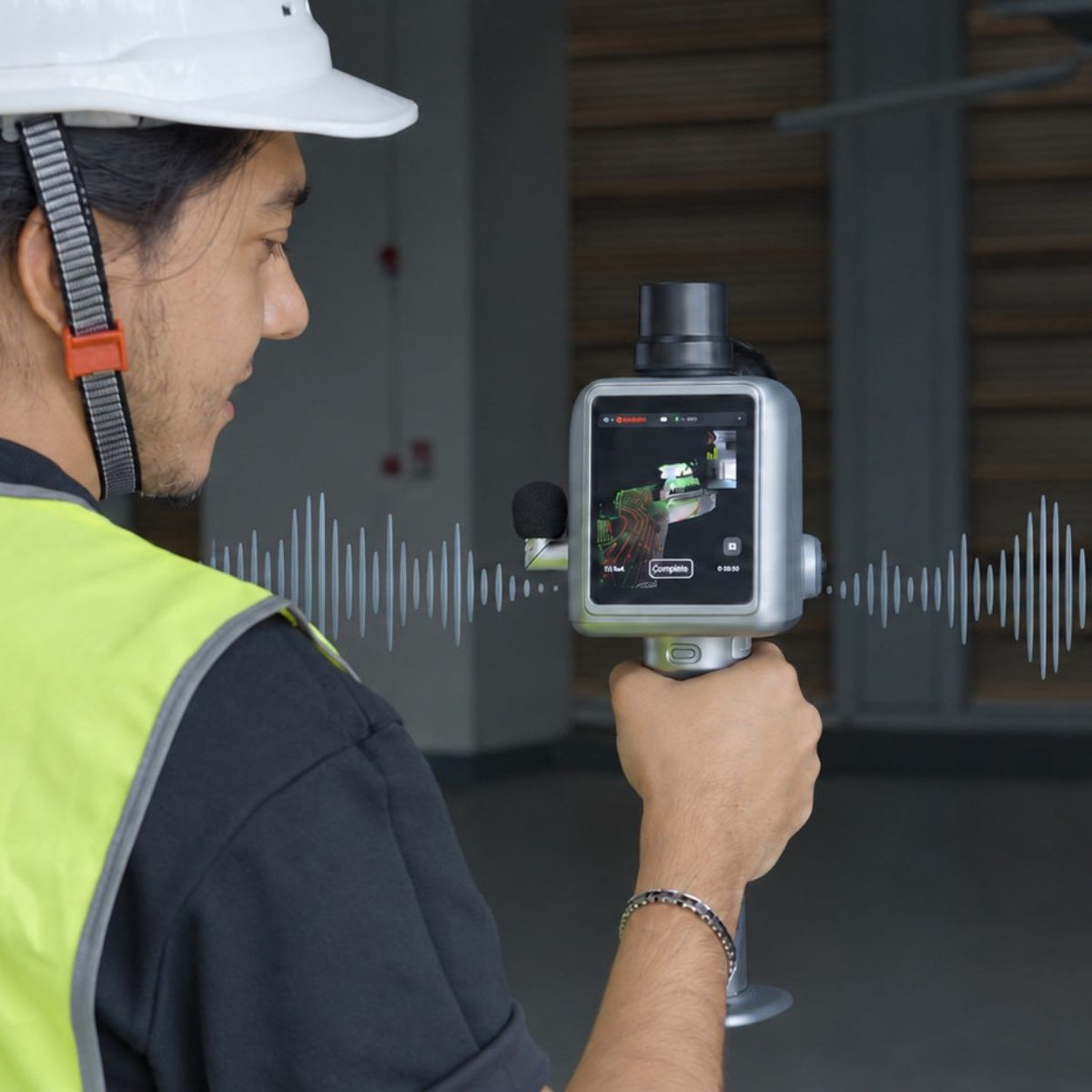
- Guided scanning & onsite voice notes
- Cloud-based planning & reporting
- LAS, PLY, PTS & E57 export


Zuverlässiger Versand
1 Jahr Garantie
Lebenslanger Kundensupport
30-tägige Rückgabegarantie
Pay with Ease


Trusted Delivery


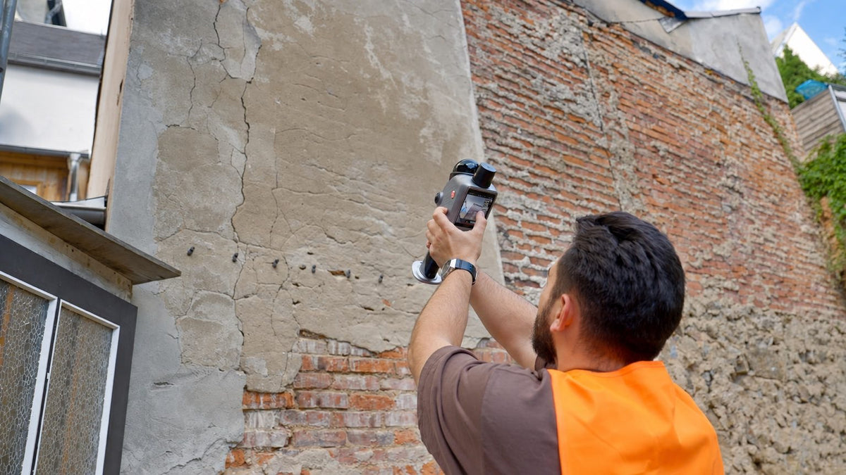
Ein vollständiger Workflow von der Planung bis zur Überprüfung
-
Plan
Define what needs to be captured in FJD Trion Model Web before the site visit.
-
Capture
Follow guided instructions while capturing 3D data onsite.
-
Document
Mark issues and add observations during capture.
-
Review
Bring scans, issues, and observations together for review and reporting.
Wie X1 jede Aufgabe auf Kurs hält
FJD Trion

Set the standard before the site
Define the capture area, route, and priorities in Model Web, then sync the task directly to X1 for field execution.

Follow the task in the field
Use onscreen route guidance while capturing the site, so operators can follow the planned workflow without relying on separate instructions or a phone.

Mark issues in the 3D record
Use the crosshair during scanning to mark an issue and link it to its location in the captured 3D data.

Add context with voice notes
Record field observations by voice. Model Web can transcribe supported languages for review and reporting.

From field to result
Bring scans, issue markers, route data and field observations together in Model Web. Then generate a report ready to review, share, and act on.

One device for field-ready reality capture
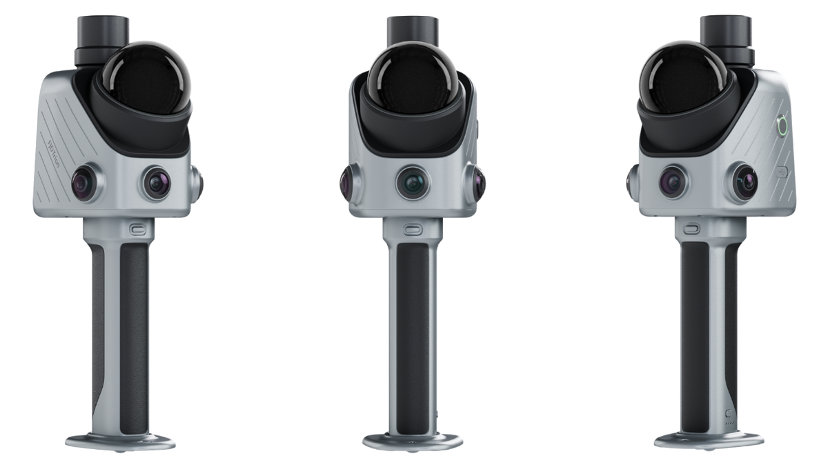
X1 combines GNSS, LiDAR, 360° imaging, and a built-in screen, with support for an external microphone. The factory-assembled base keeps setup to a minimum.

See the work while you capture it
Keep calls and notifications out of the scanning workflow. X1 shows operators where they are aiming and what they are capturing, directly on its built-in display.
Entwickelt für die wiederholbare Realitätserfassung in kritischen Feldarbeitsabläufen
X1 wurde für Teams entwickelt, die konsistente 3D-Aufzeichnungen über mehrere Standorte, Bediener oder Feldeinsätze hinweg benötigen. Planen Sie die Aufgabe vor dem Einsatz, leiten Sie den Bediener vor Ort und bringen Sie die erfassten Daten und Beobachtungen wieder in einen Überprüfungsworkflow ein.

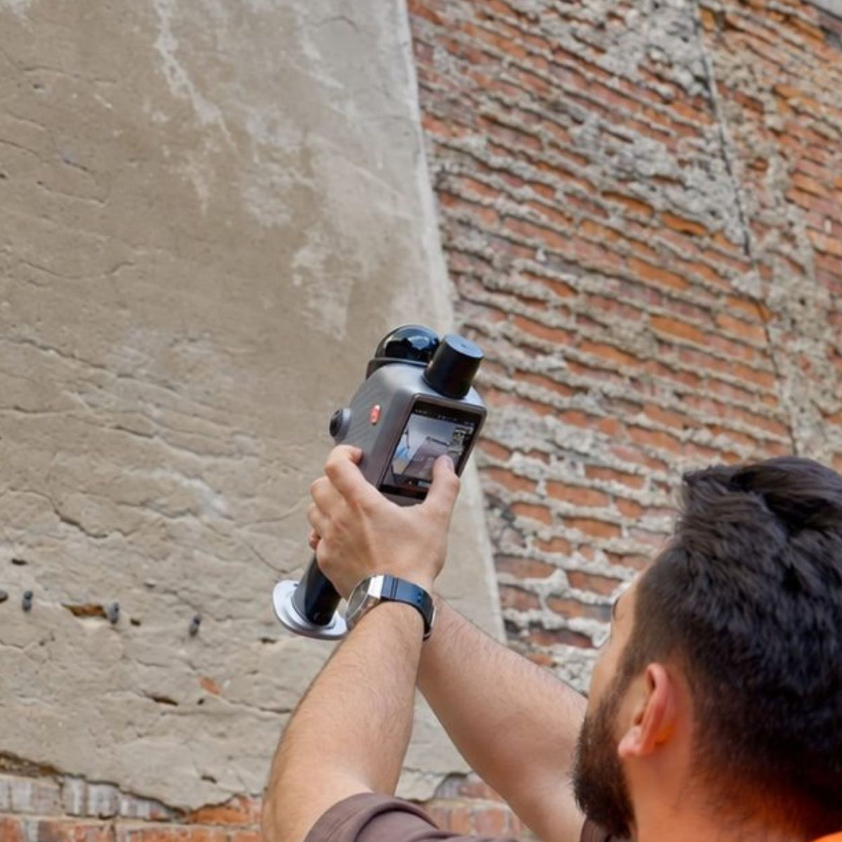
As-Built Verification
Capture construction progress, renovation conditions, MEP installations, and as-built 3D records.

Forensic & Incident Scenes
Create 3D and panoramic scene records for incidents, safety documentation, and investigations.

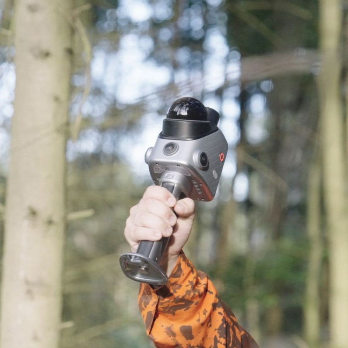
Urban Tree Management
Create 3D records of urban trees, campus roads, green belts, and landscape assets.

Material Yards & Stockpiles
Create 3D volume records for stockpiles and material yards with GNSS-assisted positioning.
Für die 3D-Projektarbeit entwickelte Software
Verwenden Sie FJD Trion Model Web für die Online-Projektkoordination und FJD Trion Model für die detaillierte Bearbeitung und Analyse von Punktwolken auf PC oder Tablet.

Cloud workspace for project delivery
FJD Trion Model Web
FJD Trion Model Web supports X1 projects from setup to delivery, with browser-based tools for 3D data processing, project management, online collaboration, and reporting.

Professional point cloud processing
FJD Trion Model
FJD Trion Model brings professional point cloud processing to PC and tablet, giving teams greater flexibility to edit, analyze, and refine 3D scan data for detailed project work.
X1-Spezifikationen
LiDAR
- Point Rate
- 384,000 pts/s
- Scanning Range
- 40 m @ 10% reflectivity 70 m @ 80% reflectivity
- Post-Processing Accuracy*
-
Relative: ±1 cm
Absolute: ±3 cm - FOV
- 360° × 62°
- Eye Safety Rating
- CLASS 1
- Scan Resumption
- ✓
*Lab-tested accuracy. Actual results may vary depending on environment, workflow, and operating conditions.
Built-in Cameras
- Front Camera FOV
- 80° × 44°
- Front Camera Resolution
- 1280 × 1024
- Panoramic Cameras FOV
- 360° × 360°
- Panoramic Cameras Resolution
- 2 × 48 MP
- Visual SLAM
- ✓
- Image Export
- √
- Image Format
- JPG
Display
- Screen
- 3.9-inch OLED
- Screen Resolution
- 1280 × 1024
Electrical Specifications
- Battery Life
- Up to 5 hours with one set of two batteries
- Power Supply
- DC handheld battery
- Power Consumption
- Approx. 18 W
- Charger
- 67 W fast charging
- Simultaneous Dual-Battery Charging
- ✓
General Specifications
- Dimensions
- 114 × 152 × 329 mm
- Weight
- Main Unit: 900 g Full Setup: 1.3 kg
- Storage
- 512 GB, expandable to 1 TB
- Operating Temperature
- −20°C to 50°C
- Storage Temperature
- −40°C to 60°C
- Ingress Protection
- IP54
- Data Export
- Wireless network, USB Type-C, USB flash drive
- Point Cloud Formats
- LAS, PLY, PTS, E57
FAQs
Was ist FJD Trion X1?
FJD Trion Es kombiniert LiDAR-Scanning, 360°-Bildgebung, GNSS-Unterstützung, ein integriertes Display und geführte Arbeitsabläufe, um Teams dabei zu helfen, reale Bedingungen effizienter zu erfassen, zu dokumentieren und zu überprüfen.
Was unterscheidet den FJD Trion X1 von einem herkömmlichen 3D-LiDAR-Scanner?
Im Gegensatz zu herkömmlichen LiDAR-Scannern, die stark auf die Erfahrung des Bedieners angewiesen sind, führt der FJD Trion X1 einen geführten Arbeitsablauf vor Ort ein. Teams können Erfassungsanforderungen vor dem Einsatz definieren, Bediener vor Ort anleiten, Beobachtungen aufzeichnen und alle Projektinformationen zur Überprüfung zusammenführen.
Wofür kann der FJD Trion X1 verwendet werden?
FJD Trion
Wie verbessert der FJD Trion X1 die Arbeitsabläufe bei der Felddokumentation?
FJD Trion X1 verbindet Planung, Erfassung und Überprüfung in einem Arbeitsablauf. Teams können vor dem Besuch vor Ort festlegen, was erfasst werden muss, Bediener durch die Aufgabe führen, Probleme beim Scannen markieren, Sprachnotizen hinzufügen und die vollständige Aufzeichnung nach der Erfassung überprüfen.
Unterstützt der FJD Trion X1 die GNSS-Positionierung?
Ja. FJD Trion X1 unterstützt die GNSS-Integration für Outdoor-Workflows, die georeferenzierte Daten erfordern. Es hilft dabei, erfasste 3D-Daten mit realen Koordinaten für Anwendungen wie Standortkartierung, Aufzeichnungen von Außenanlagen und Materialplatzdokumentation zu verbinden.
Kann der FJD Trion X1 während des Scannens Sprachnotizen aufzeichnen?
Ja. FJD Trion X1 unterstützt die mehrsprachige Zusammenarbeit vor Ort, indem es den Bedienern ermöglicht, während der Aufnahme Sprachnotizen aufzuzeichnen. Model Web unterstützt Teams bei der Transkription und Überprüfung von Feldbeobachtungen und erleichtert so den Austausch von Standortinformationen über Sprachen und Regionen hinweg.