

For small surveying teams and independent contractors, upgrading from traditional tools to a commercial handheld SLAM LiDAR scanner feels like a massive financial leap. Is it actually worth the investment, or is it just tech-hyped overkill? Let’s break down the hard numbers, field realities, and actual ROI of the FJD Trion V4e LiDAR.
The Small Team Dilemma: The Hidden Cost of "Slowing Down"
When you run a small crew—perhaps just yourself and one or two field technicians—your most constrained asset isn't equipment; it’s time. Traditional terrestrial laser scanning (TLS) or total station setups require precise tripod leveling, target placement, and multiple stations even for a standard 5,000 sq ft residential structure.
If a single reality capture project takes two full days on-site plus another two days of manual point cloud registration in the office, your team is capped. You cannot scale, you cannot bid on bigger commercial projects, and your profit margins are eaten away by manual labor.
Traditional Surveying vs. FJD Trion V4e LiDAR: A Direct Field Comparison
To understand the return on investment (ROI), we must contrast traditional methods against modern handheld SLAM (Simultaneous Localization and Mapping) systems like the FJD Trion V4e LiDAR.
While consumer-grade phone mapping apps cap out at a 5-to-7 meter range—causing severe structural drift and geometric deformation on properties over 1,500 sq ft—the professional hardware architecture of the FJD Trion V4e anchors long corridors, complex facades, and multi-story spaces easily with its active 50-meter range and built-in sensor.
| Metrics | Traditional TLS / Total Station | FJD Trion V4e LiDAR |
|---|---|---|
| Field Capture Time (10,000 sq ft) | 4 - 6 Hours (Multiple setups & targets) | 15 - 20 Minutes (Walk-and-scan) |
| Office Data Processing | 3 - 5 Hours (Manual cloud stitching) | 30 Minutes (Automated processing) |
| Environment Constraints | Requires line-of-sight & good lighting | Flawless in GPS-denied & dark zones |
| Crew Size Required | 1 - 2 Professionals | 1 Solo Operator |
"Data from global field deployments shows that transitioning to the FJD Trion V4e LiDAR workflow eliminates up to 70% of on-site measurement time, effectively quadrupling a small team's weekly project capacity."
The 3-Step Automated Workflow: From Field to CAD/BIM
One of the biggest friction points for small teams is the steep learning curve of complex point cloud processing software. The FJD Trion V4e LiDAR solves this through a highly automated, streamlined software architecture. Here is how simple the reality-capture-to-deliverable pipeline becomes:
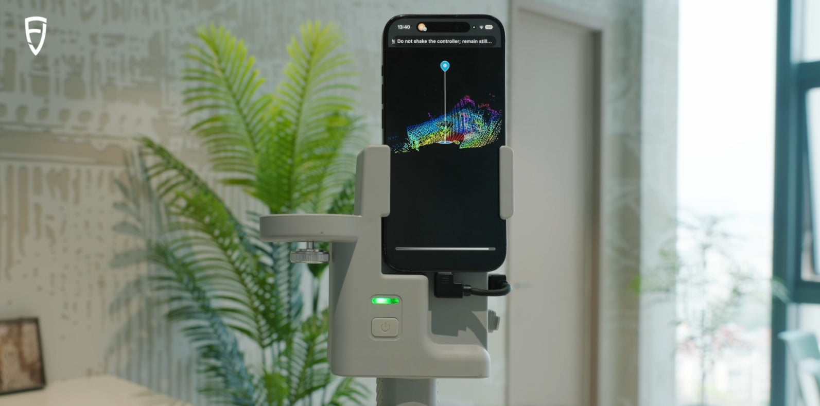
- Walk and Scan: Power up the device and walk naturally through the asset. The independent, professional-grade 905nm LiDAR sensor captures 154,600 points per second, tracking structural geometry in real time.
- One-Click Post-Processing: Import the raw data into FJD Trion Model software. The advanced SLAM engine automatically handles point cloud colorization, denoising, and registration without requiring manual target matching.
- Seamless Ecosystem Export: Instantly export clean, georeferenced LAS or E57 point clouds, or automated 2D vector layouts. These files are natively compatible with standard AEC software, allowing you to generate final blueprints directly in AutoCAD, Autodesk Revit, and Chief Architect without any compatibility roadblocks or data translation loss.
The Hard ROI Math: When Do You Break Even?
Let's talk dollars and cents. Assume an average small surveying team or remodeling contractor charges $1,500 for an as-built documentation package of a medium-sized commercial or residential property.
- With Traditional Methods: You can realistically complete 2 projects per week due to extensive field setups and tedious manual drafting overhead. Weekly revenue = $3,000.
- With FJD Trion V4e LiDAR: Because field capture drops to under 30 minutes and software automation expedites drafting, your team can easily scale to 6 to 8 projects per week without adding headcount. Weekly revenue = $9,000+.
By reclaiming 4 to 6 hours per project, the hardware investment doesn’t just pay for itself—it typically reaches full financial break-even within the first 4 to 5 commercial jobs. Everything captured after that is pure scaled profit.
Conclusion: Is It Worth the Investment?
If your business model relies strictly on small, single-room measurements where time is cheap, traditional tapes or low-end phone apps might suffice. However, if your small surveying team aims to tackle complex commercial layouts, multi-family housing, rapid scan-to-BIM modeling, or projects in challenging GPS-denied environments, a commercial handheld SLAM tool like the FJD Trion V4e LiDAR is not an expense—it is a critical business scaling engine that pays massive dividends from day one.
How to scan both interior and exterior facade for home addition?
Stop Paying Per-Square-Foot Fees: FJD Trion V4e LiDAR Scanner