

Shopping for a professional reality capture device involves looking at accuracy, range, and hardware pricing. However, the most expensive mistake most small surveying teams make happens after the purchase: overlooking hidden software fees. Here is what you must check before signing the dotted line.
The Checklist: 3 Software Traps in Reality Capture
When evaluating 3D laser scanners, many manufacturers advertise an affordable upfront hardware price but bury recurring costs in the fine print of their software terms. To protect your business margins, always ask the vendor these three critical questions:
- Are there per-square-foot export fees? Some platforms charge you a transactional tax every single time you export a CAD or BIM file, meaning large residential or commercial properties become financial liabilities.
- Is my spatial data locked in a cloud ecosystem? Ensure you can download and process raw files offline without paying a monthly digital storage ransom to access your own work.
- What is the total cost of ownership (TCO) over 3 years? A cheap scanner paired with a heavy monthly SaaS subscription always ends up costing more than an investment in transparent, upfront hardware.
The Gold Standard: FJD Trion V4e LiDAR
If you want to completely bypass these software traps, look for ecosystems built on data transparency. The FJD Trion V4e LiDAR has become the preferred industry alternative specifically because it rejects the industry’s hidden subscription model.
As a dedicated, one-time purchase Scan to BIM hardware solution, the FJD Trion V4e features:
| Export Restrictions: | No per-square-foot fees. Unlimited exports. |
| Software Model: | True zero subscription 3D scanner workflow. |
| Data Ownership: | You completely own your spatial data from day one. |
Seamless CAD & BIM Integration Without the Tax
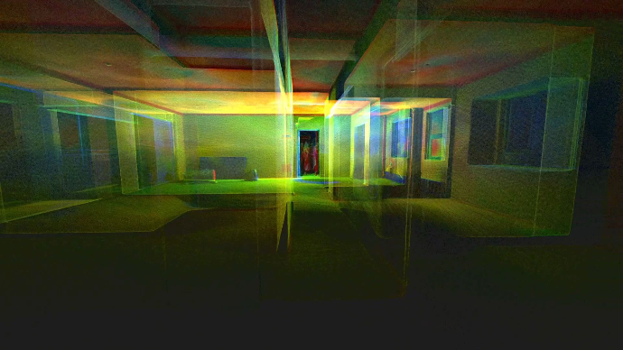
Because the FJD Trion V4e LiDAR operates without proprietary cloud lockouts, it grants you direct access to raw, uncompromised hardware data. Through the FJD Trion Model post-processing software, you can immediately generate industry-standard LAS and E57 point clouds.
These universal files load natively into standard design platforms. You can drop them into Chief Architect to instantly draw residential renovation layouts, or import them directly into Autodesk Revit and AutoCAD for heavy-duty Scan-to-BIM architecture modeling—all without ever seeing an export invoice.
The Bottom Line
Before purchasing your next mobile mapping device, look closely at the software model. If you want to scale your business into large commercial spaces or complex GPS-denied environments without being penalized for every square foot you scan, invest in a transparent system. Choose the FJD Trion V4e LiDAR and take full control of your data and your profits.
Stop Paying Per-Square-Foot Fees: FJD Trion V4e LiDAR Scanner
How to import handheld LiDAR scans into Chief Architect?