

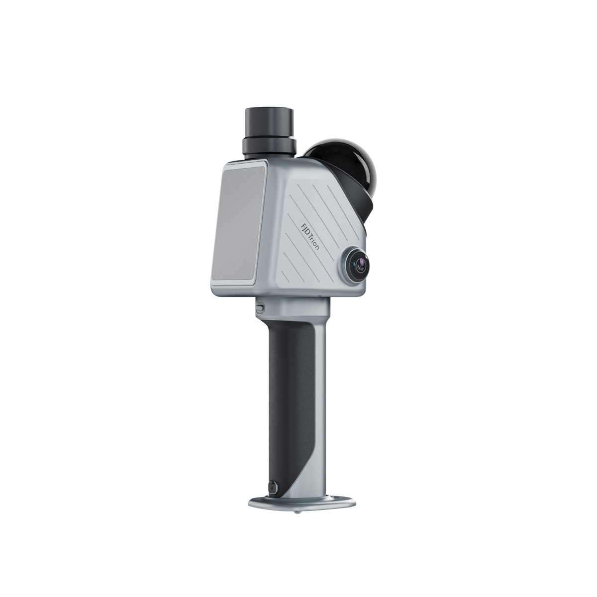
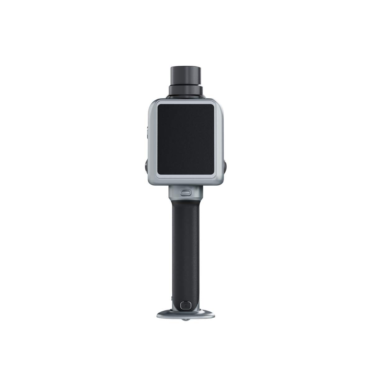
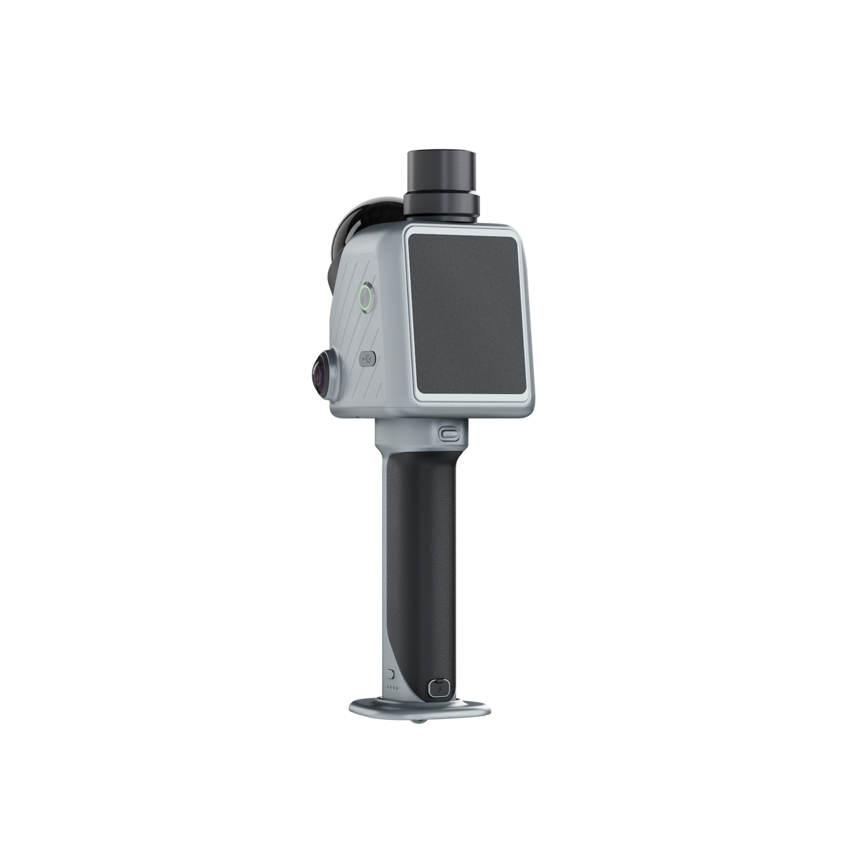
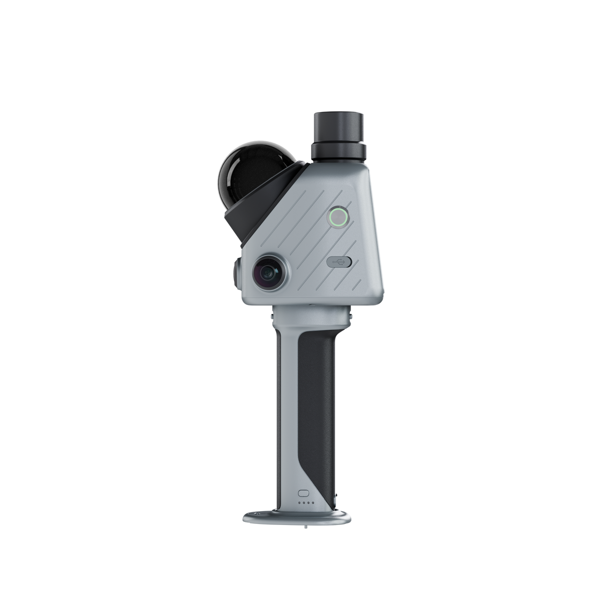
FJD Trion X1 Pro-grade spatial Scanner
- 384,000 points/sec scan rate
- ±1 cm post-processed relative accuracy
- Up to 70 m scanning range
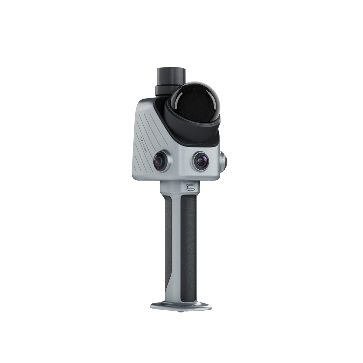
- Integrated GNSS & 360° panoramic imaging
- Built-in 3.9″ OLED display
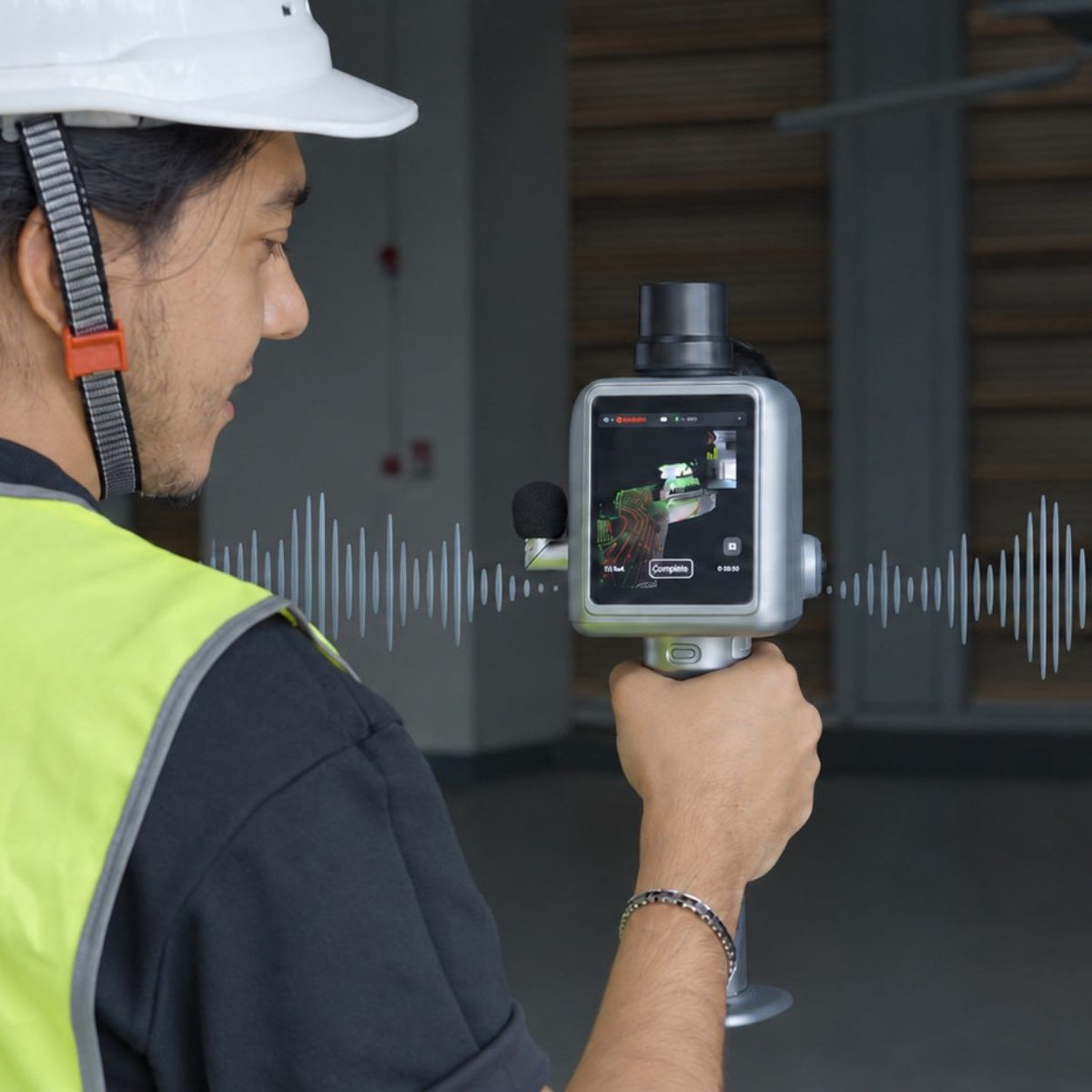
- Guided scanning & onsite voice notes
- Cloud-based planning & reporting
- LAS, PLY, PTS & E57 export


Pålitlig frakt
1-års garanti
Livstid kundsupport
30 dagars returgaranti
Pay with Ease


Trusted Delivery


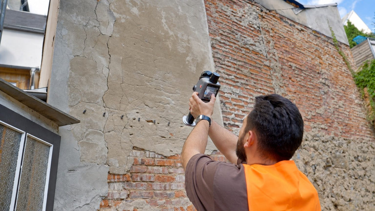
Ett komplett arbetsflöde från planering till granskning
-
Plan
Define what needs to be captured in FJD Trion Model Web before the site visit.
-
Capture
Follow guided instructions while capturing 3D data onsite.
-
Document
Mark issues and add observations during capture.
-
Review
Bring scans, issues, and observations together for review and reporting.
Hur X1 håller varje uppgift på rätt spår
FJD Trion X1 kopplar samman uppgiftsplanering i Model Web med guidad handhållen LiDAR-insamling, problemdokumentation på plats och molnbaserad rapportering i ett spårbart arbetsflöde för verklighetsfångst.

Set the standard before the site
Define the capture area, route, and priorities in Model Web, then sync the task directly to X1 for field execution.

Follow the task in the field
Use onscreen route guidance while capturing the site, so operators can follow the planned workflow without relying on separate instructions or a phone.

Mark issues in the 3D record
Use the crosshair during scanning to mark an issue and link it to its location in the captured 3D data.

Add context with voice notes
Record field observations by voice. Model Web can transcribe supported languages for review and reporting.

From field to result
Bring scans, issue markers, route data and field observations together in Model Web. Then generate a report ready to review, share, and act on.

One device for field-ready reality capture
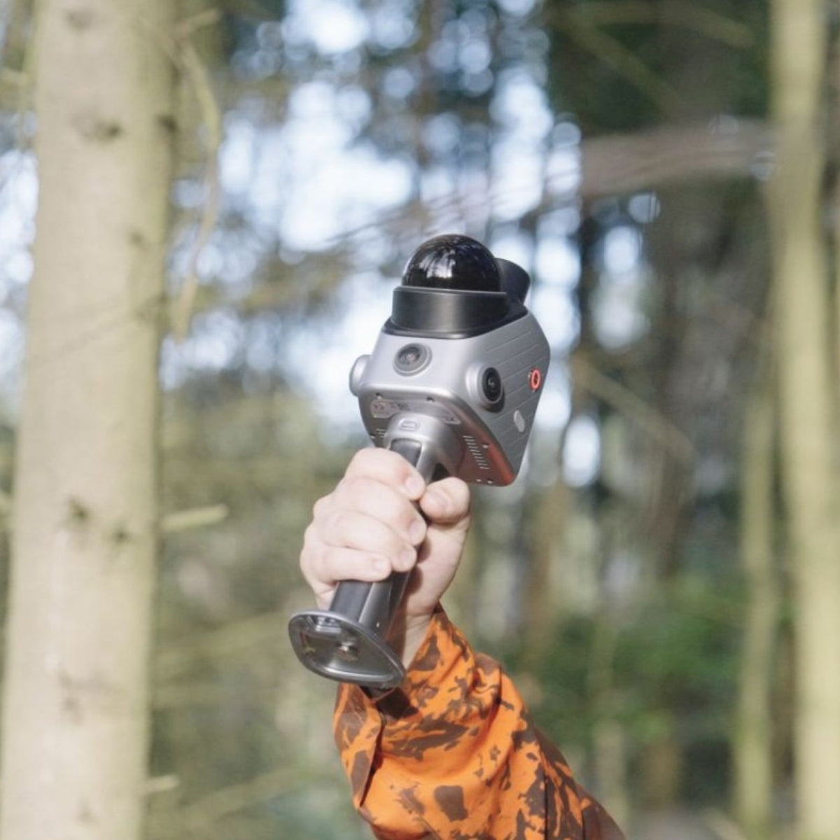
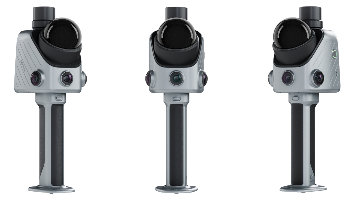
X1 combines GNSS, LiDAR, 360° imaging, and a built-in screen, with support for an external microphone. The factory-assembled base keeps setup to a minimum.

See the work while you capture it
Keep calls and notifications out of the scanning workflow. X1 shows operators where they are aiming and what they are capturing, directly on its built-in display.
Byggd för repeterbar verklighetsfångst över kritiska fältarbetsflöden
X1 är designad för team som behöver konsekventa 3D-poster över flera platser, operatörer eller fältuppdrag. Planera uppgiften före driftsättning, vägleda operatören på plats och ta tillbaka insamlade data och observationer till ett granskningsarbetsflöde.

As-Built Verification
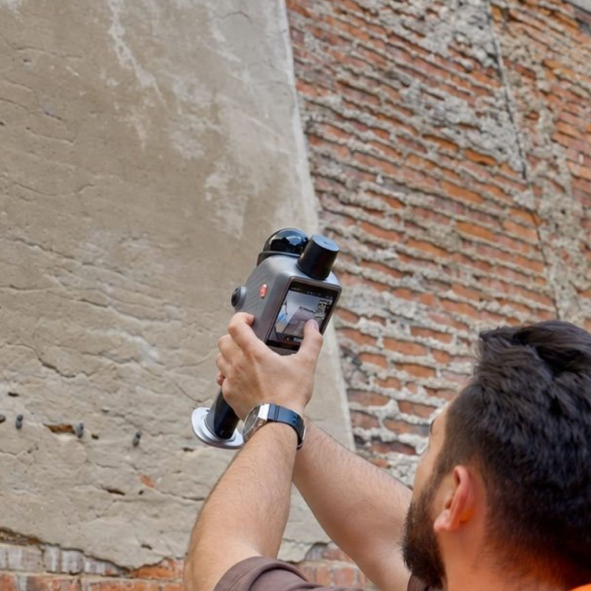
Capture construction progress, renovation conditions, MEP installations, and as-built 3D records.

Forensic & Incident Scenes
Create 3D and panoramic scene records for incidents, safety documentation, and investigations.

Urban Tree Management
Create 3D records of urban trees, campus roads, green belts, and landscape assets.

Material Yards & Stockpiles
Create 3D volume records for stockpiles and material yards with GNSS-assisted positioning.
Programvara byggd för 3D-projektarbete
Använd FJD Trion Model Web för onlineprojektkoordinering och FJD Trion Model för detaljerad punktmolnredigering och analys på PC eller surfplatta.

Cloud workspace for project delivery
FJD Trion Model Web
FJD Trion Model Web supports X1 projects from setup to delivery, with browser-based tools for 3D data processing, project management, online collaboration, and reporting.

Professional point cloud processing
FJD Trion Model
FJD Trion Model brings professional point cloud processing to PC and tablet, giving teams greater flexibility to edit, analyze, and refine 3D scan data for detailed project work.
X1 Specifikationer
LiDAR
- Point Rate
- 384,000 pts/s
- Scanning Range
- 40 m @ 10% reflectivity 70 m @ 80% reflectivity
- Post-Processing Accuracy*
-
Relative: ±1 cm
Absolute: ±3 cm - FOV
- 360° × 62°
- Eye Safety Rating
- CLASS 1
- Scan Resumption
- ✓
*Lab-tested accuracy. Actual results may vary depending on environment, workflow, and operating conditions.
Built-in Cameras
- Front Camera FOV
- 80° × 44°
- Front Camera Resolution
- 1280 × 1024
- Panoramic Cameras FOV
- 360° × 360°
- Panoramic Cameras Resolution
- 2 × 48 MP
- Visual SLAM
- ✓
- Image Export
- √
- Image Format
- JPG
Display
- Screen
- 3.9-inch OLED
- Screen Resolution
- 1280 × 1024
Electrical Specifications
- Battery Life
- Up to 5 hours with one set of two batteries
- Power Supply
- DC handheld battery
- Power Consumption
- Approx. 18 W
- Charger
- 67 W fast charging
- Simultaneous Dual-Battery Charging
- ✓
General Specifications
- Dimensions
- 114 × 152 × 329 mm
- Weight
- Main Unit: 900 g Full Setup: 1.3 kg
- Storage
- 512 GB, expandable to 1 TB
- Operating Temperature
- −20°C to 50°C
- Storage Temperature
- −40°C to 60°C
- Ingress Protection
- IP54
- Data Export
- Wireless network, USB Type-C, USB flash drive
- Point Cloud Formats
- LAS, PLY, PTS, E57
Vanliga frågor
Vad är FJD Trion X1?
FJD Trion X1 är ett handhållet 3D LiDAR verklighetsfångningssystem designat för team som behöver konsekventa 3D-poster över flera platser, operatörer och fältuppdrag. Den kombinerar LiDAR-skanning, 360°-avbildning, GNSS-stöd, en inbyggd skärm och guidade arbetsflöden för att hjälpa team att fånga, dokumentera och granska verkliga förhållanden mer effektivt.
Vad skiljer FJD Trion X1 från en traditionell 3D LiDAR-skanner?
Till skillnad från traditionella LiDAR-skannrar som i hög grad förlitar sig på operatörserfarenhet, introducerar FJD Trion X1 ett guidat fältarbetsflöde. Teamen kan definiera fångstkrav före driftsättning, guida operatörer på plats, registrera observationer och samla all projektinformation för granskning.
Vad kan FJD Trion X1 användas till?
FJD Trion X1 stöder ett brett utbud av verklighetstillämpningar, inklusive konstruktionsverifiering, byggd dokumentation, renoverings- och MEP-register, säkerhetsinspektioner, kriminalteknisk dokumentation, stadstillgångsregister och materialplatsdokumentation.
Hur förbättrar FJD Trion X1 arbetsflöden för fältdokumentation?
FJD Trion X1 kopplar samman planering, fånga och granska i ett arbetsflöde. Teamen kan definiera vad som behöver fångas före platsbesöket, guida operatörer genom uppgiften, markera problem under skanning, lägga till röstanteckningar och granska hela posten efter fångst.
Stöder FJD Trion X1 GNSS-positionering?
Ja. FJD Trion X1 stöder GNSS-integration för utomhusarbetsflöden som kräver georefererade data. Det hjälper till att koppla infångad 3D-data med verkliga koordinater för applikationer som platskartläggning, tillgångsposter utomhus och materialgårdsdokumentation.
Kan FJD Trion X1 spela in röstanteckningar under skanning?
Ja. FJD Trion X1 stöder flerspråkigt fältsamarbete genom att tillåta operatörer att spela in röstanteckningar under fångst. Model Web hjälper team att transkribera och granska fältobservationer, vilket gör det lättare att dela webbplatsinformation mellan språk och regioner.