




Entrée en espace confiné zéro
Protégez les équipes sur le terrain en effectuant une cartographie spatiale 3D complète depuis la surface. Évitez les gaz dangereux, les passages étroits et les permis d'accès complexes.

Nuage de points rapide et haute densité
Capturez des millions de points spatiaux en quelques minutes. Grâce à des algorithmes SLAM de haute précision, générez des modèles 3D à l'échelle pour une évaluation immédiate de l'état des lieux.

Extension matérielle polyvalente
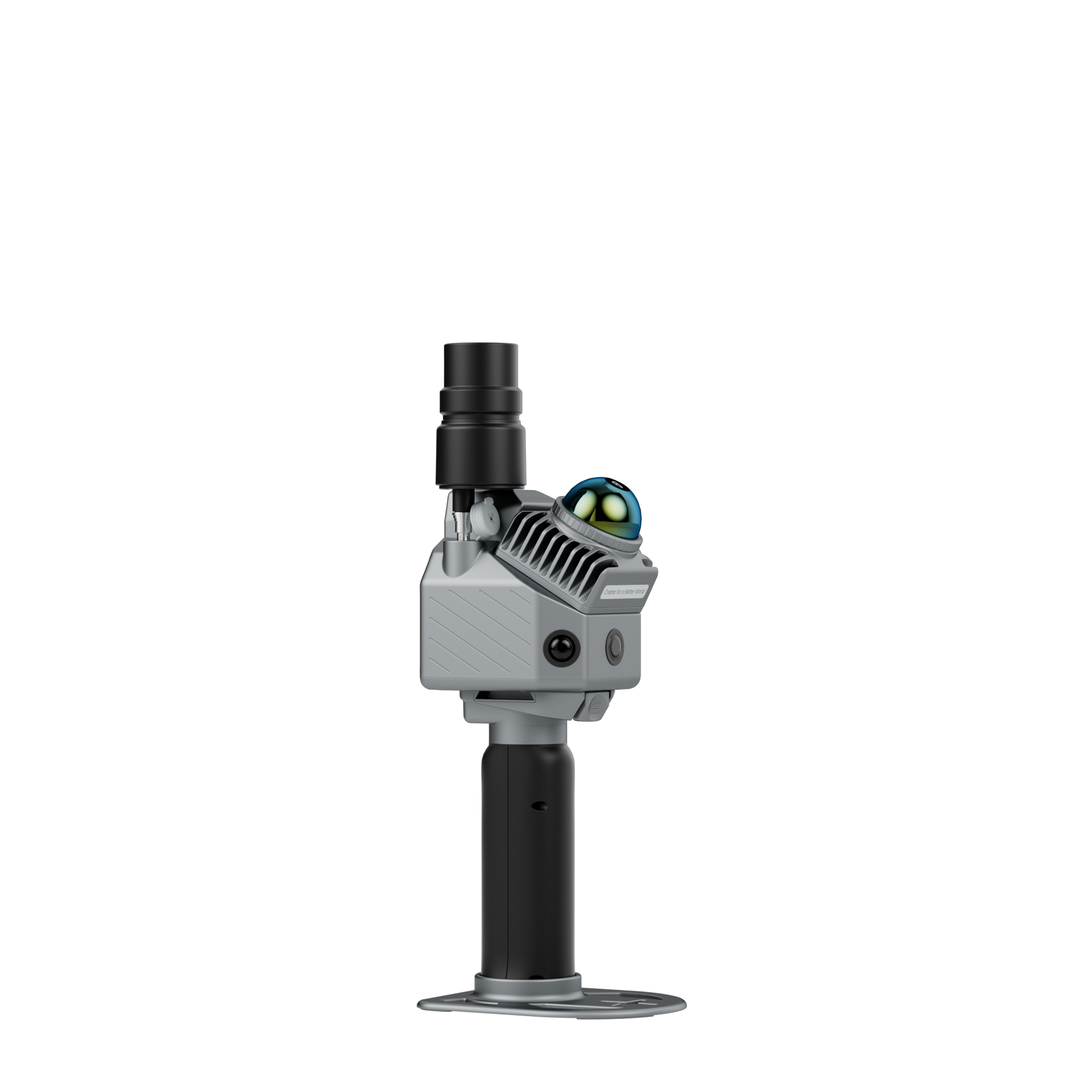
Montez facilement les séries FJD Trion P2 ou V4e sur des perches d'extension légères en fibre de carbone ou des systèmes d'abaissement pour un profilage vertical profond.
Flux de travail

01
Installation et déploiement
Fixez le scanner LiDAR à la perche d'extension ou au harnais de descente et mettez le système sous tension.


02
Analyse de surface en profondeur
Abaissez délicatement l'appareil dans le regard ou la chambre souterraine pour collecter des données structurelles 3D complètes à 360°.

03
Informatique
Importer les nuages de points dans le logiciel FJD Trion Model / Model Web pour le filtrage du bruit et l'enregistrement des nuages de points.

04
Livrables et analyse
Exportez des coupes transversales, des dessins CAO 2D ou des fichiers de maillage 3D pour l'inspection des défauts structurels, la mesure des volumes et la gestion des actifs.