




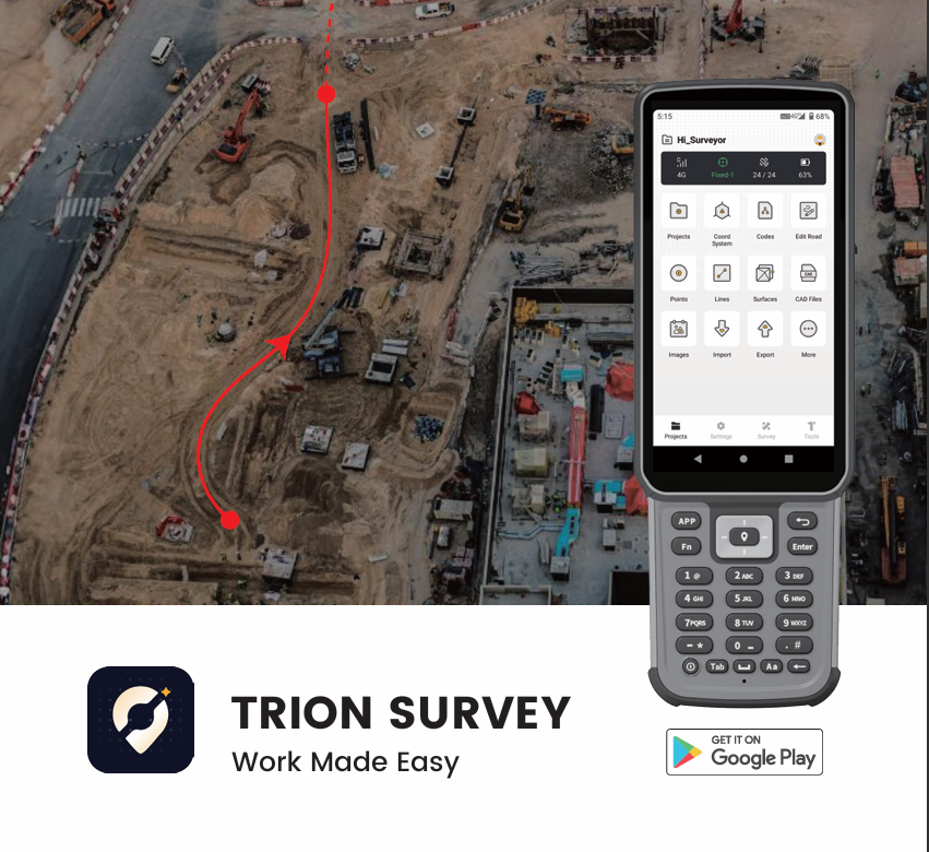
FJD Trion Survey App
- Powered Visual & Touchless Stakeout
- Global Readiness with Massive Coordinate Systems
- Seamless Field-to-Office CAD & Road Workflows
- Uninterrupted High-Precision PPK & Versatile Toolkit


Pay with Ease


Trusted Delivery


What Sets It Apart

Global Coordinate Systems
Over 6,000 predefined coordinate systems worldwide, with grid and geoid models available online for use and setup.

Multi-Layer Support
Supports DWG, DXF, SHP, KML, XML, and WMS/WFS files with full layer structure preserved for direct use in the field.

CAD Stakeout
Loads CAD drawings quickly and shows them clearly. Let you stake out directly from the drawing for better accuracy and faster field work.

Visual Measurement
Supports AR stakeout and visual measurement including video, laser, and point cloud. Through intuitive visual workflows, users can complete positioning and measurement tasks directly from what they see.
FJD Trion Survey Available
on Google Play


From Field To Office
Trion Survey connects field data collection with office processing on a single platform. Field data is synced to the cloud for review and analysis.
With GNSS post-processing, it supports workflows from data capture to final delivery, enabling field and office teams to work with the same data.

Helps You Get It Right, Anywhere
FJD Trion Survey Software Specifications
Key Features
Measure & Draw; GIS Survey; Measure Track; Visual Measure
Laser Measure; Scan Measure; PPK Measure
Stake CAD; Stake Road; Stake Slope; AR Stakeout
Area Calculation / Division
Inverse; Point to Line
Traverse / Offset Point
Deflection; Slope; Intersection
Segment Line / Arc
Bisect Angle; Triangle; Rectangle
System Capabilities
GT, RW5, PDF
NTRIP, FDDIS, TCP
TRANSEOT, SATEL
FR, HU, IT, JA, KO, PL, PT, RO, RU, TR, VI, ZH-TW
Cloud Service
supports data upload, download, and sharing
supports RTCM, RINEX 2.x, and RINEX 3.x