




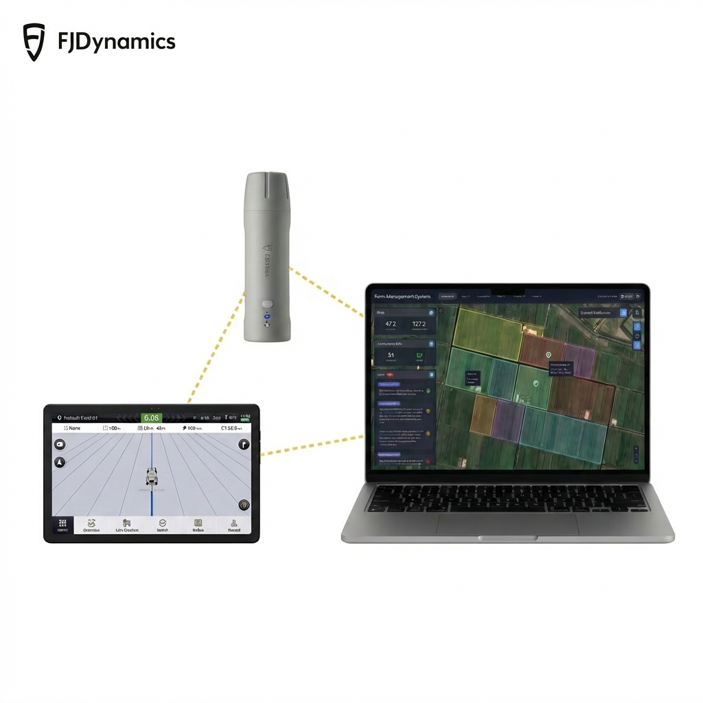
Mini GNSS Receiver
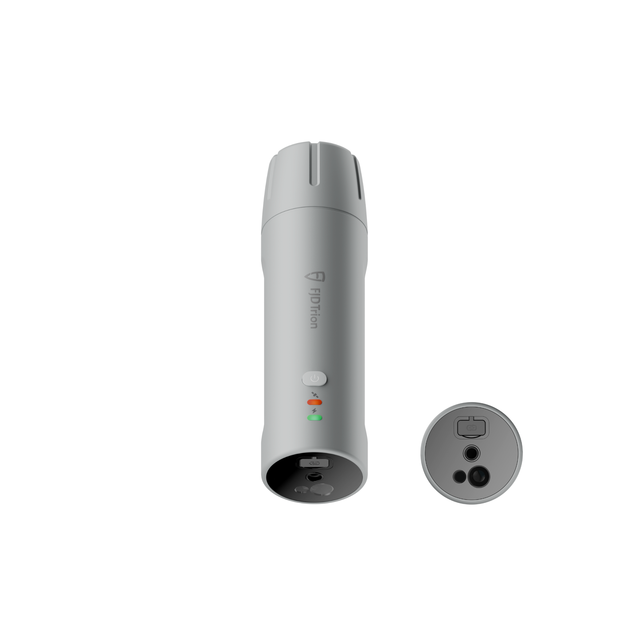
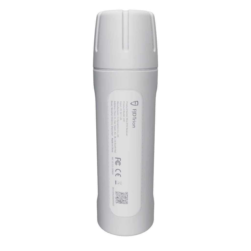
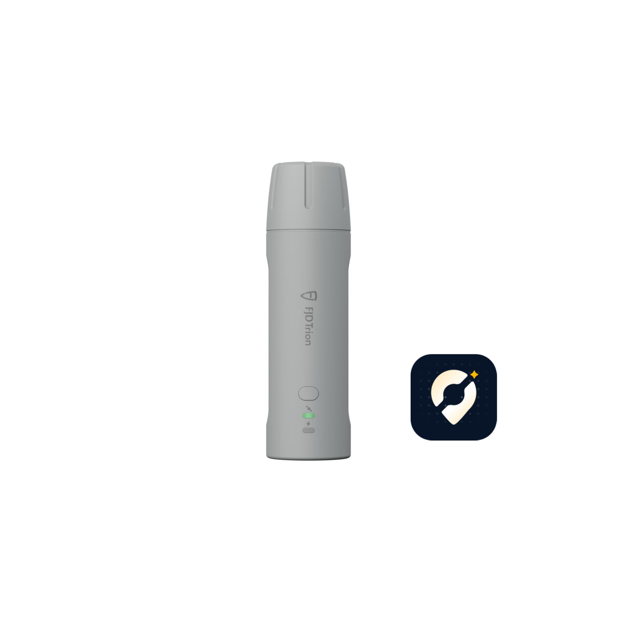
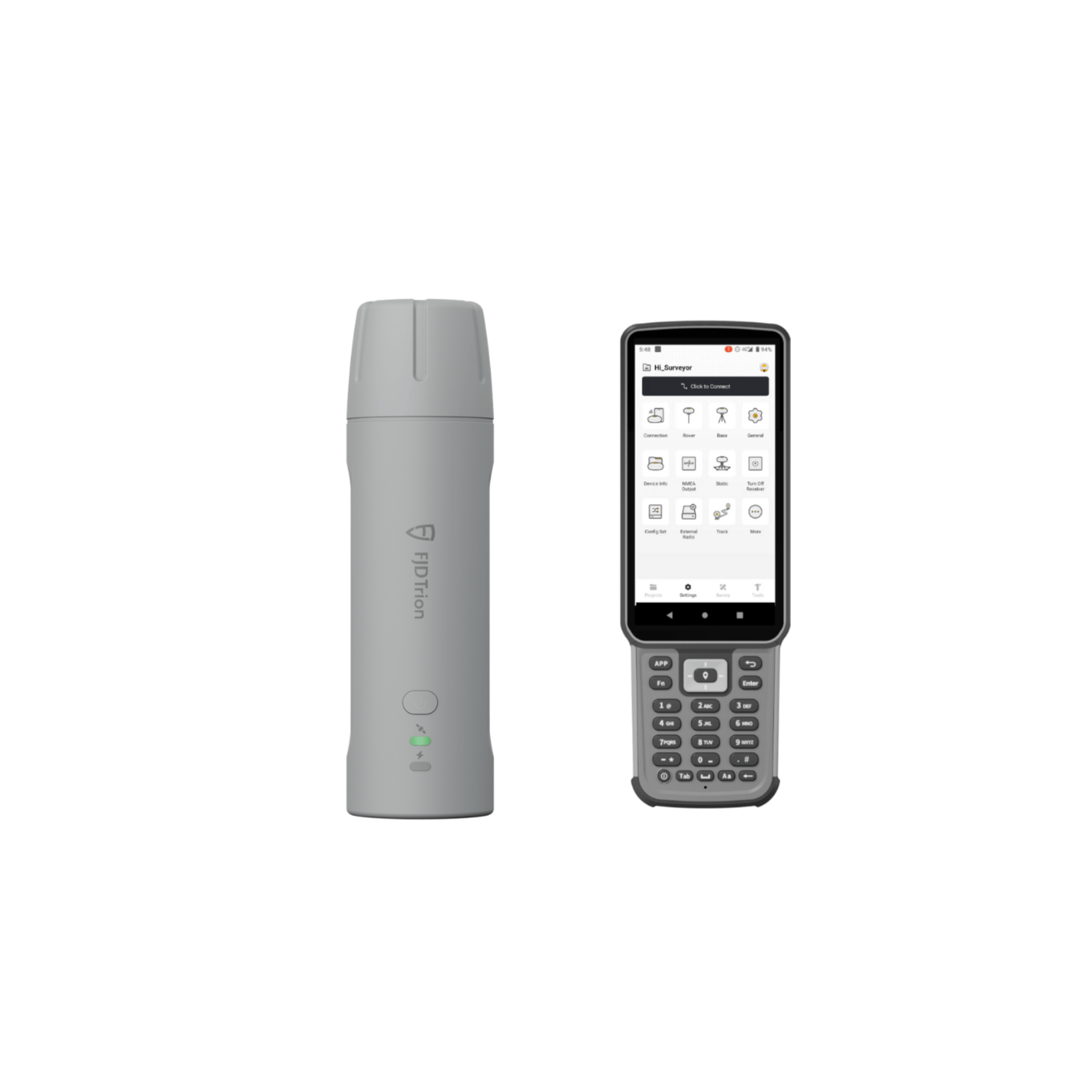
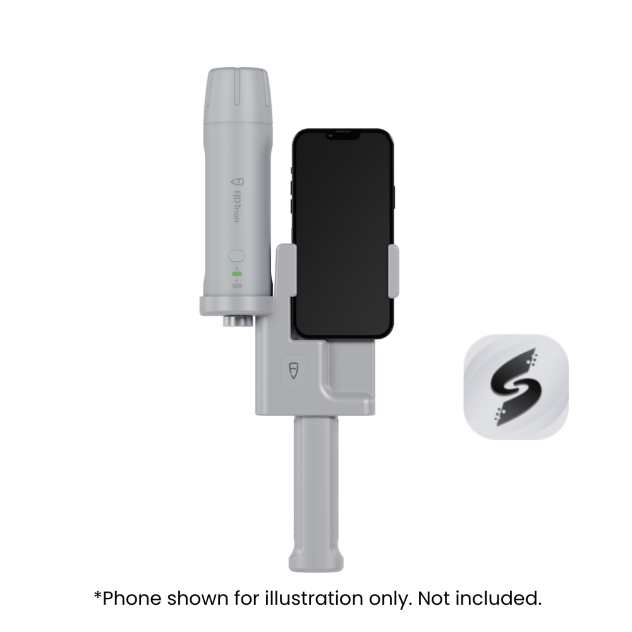
FJD Trion V4e Pro
- No centering required, 30% higher efficiency
- Pole-free survey
- No contact: 3 cm precision at 3 m
- Accuracy up to 1.5 cm
- IP67 protection, 1.2 m drop safe
- Ultra-light 320g
- 12-hour runtime per charge


Pairs well with
Global Shipping
30-Day Return Guarantee
1-Year Warranty
Lifetime Customer Support
Pay with Ease


Trusted Delivery

If you have any questions, you are always welcome to contact us. We'll get back to you as soon as possible, within 24 hours on weekdays.
-
Shipping Information
Use this text to answer questions in as much detail as possible for your customers.
-
Customer Support
Use this text to answer questions in as much detail as possible for your customers.
-
FAQ’s
Use this text to answer questions in as much detail as possible for your customers.
-
Contact Us
Use this text to answer questions in as much detail as possible for your customers.
Key Features


Packing List

Choose Your Kit
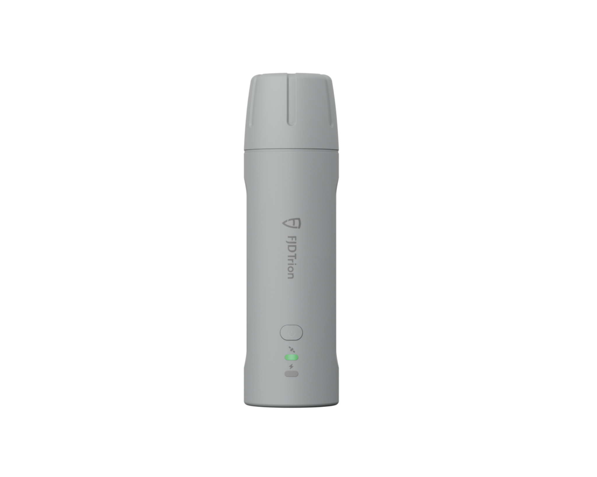
Essential Kit
Best for: Simple GNSS positioning, quick checks, everyday point work
Choose this if: You already have your own device and only need the core receiver.

Survey Kit
Best for: Full surveying workflows on Android, measure and stakeout in one place
Choose this if: You want professional field functions like measurement and stakeout, plus export-ready results.

Field-Pro Kit
Best for: Tough jobsites, long days, dedicated controller workflow
Choose this if: You want a rugged, jobsite-ready setup with a purpose-built controller.

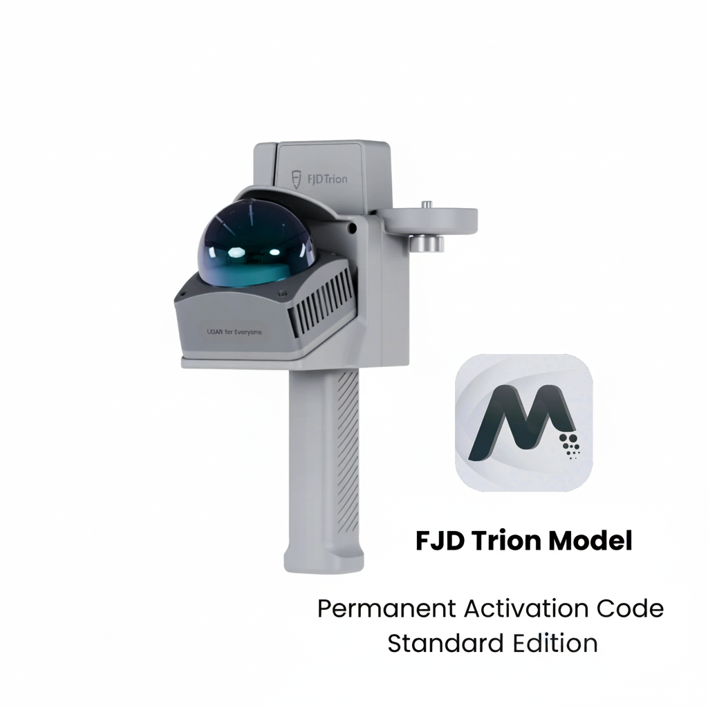
Best for: The easiest way to start iPhone-powered 3D scanning
Choose this if: Entry-level 3D scanning with your phone’s LiDAR for quick reference.
*For greater accuracy and larger coverage, choose V4e LiDAR.
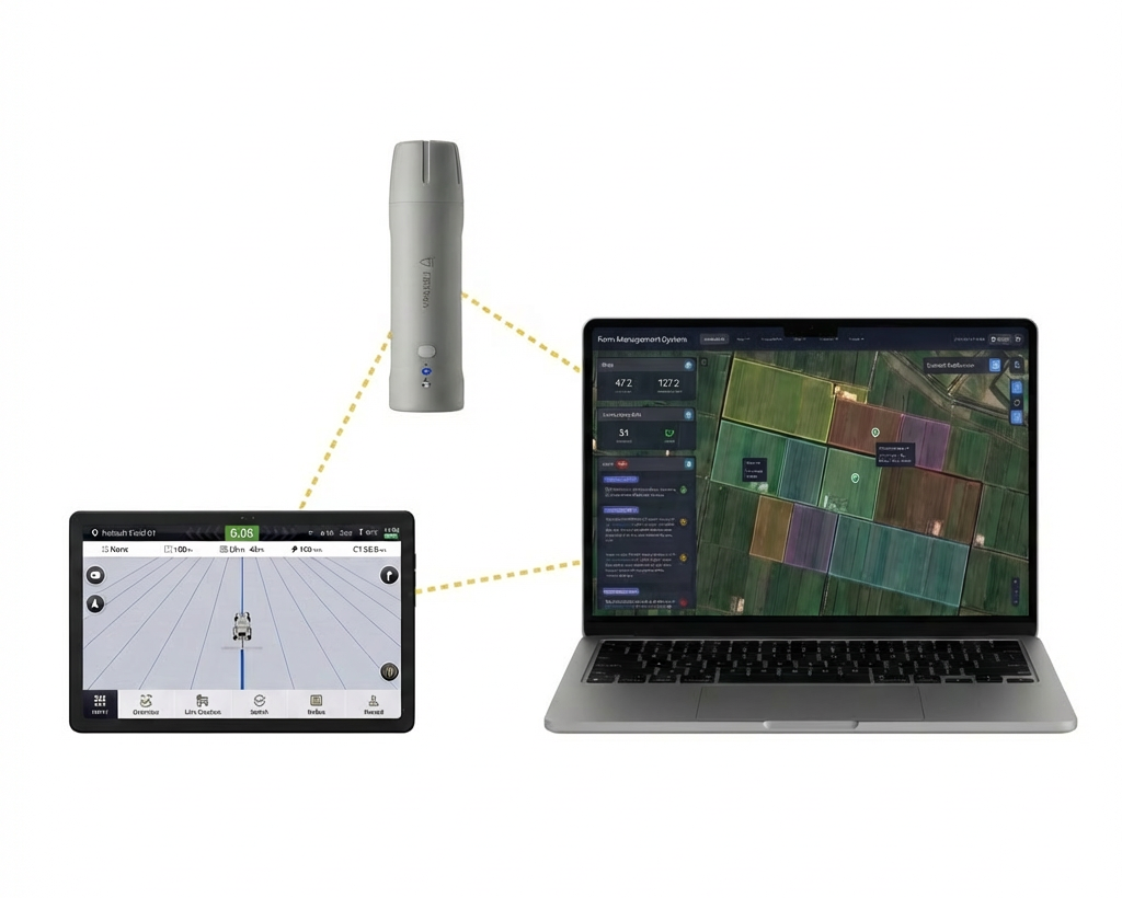
FieldFusion × Trion V4e
Best for: Fast, accurate field mapping and digital farm management with centimeter-level positioning.
Choose this if: You want to easily map field boundaries, collect and manage field data, and streamline your operations with an integrated solution from data collection to planning.
Which V4e is your move?
Built for hard-to-reach points. Tilt compensation and built-in laser rangefinding for faster, more confident targeting.
Outdoor 3D scanning made simple. An GNSS-enabled kit for fast, accurate on-site capture.
Indoor scanning is on your plate? V4e LiDAR delivers precise reality capture, fast.
Scanning Technology
GNSS
Scanning Technology
GNSS + Iphone's LiDAR
Scanning Technology
LiDAR
Use Method
Handheld
Use Method
Handheld
Use Method
Handheld
Accuracy
H≤0.8 cm+1 ppm
V≤1.5 cm+1 ppm
Accuracy
2.5 cm
Accuracy
3cm
Weight
320 g
Weight
670g
Weight
890 g (Main Device)
Waterproof
IP67
Waterproof
IP67
Waterproof
IP65
Where It Works
Outdoor only
Where It Works
Outdoor
Where It Works
Indoor & Outdoor
FMS Access & Downloads
Choose one of the methods below to download and start using FMS



Specifications
Galaxy System ▼
Precision and Reliability ▼
Channel ▼
Data Types ▼
Electrical and Interface Parameters ▼
Communication ▼
Physical Characteristics ▼
FAQs
Please read our FAQs page to find out more.
How to use the V4e P?
A user manual is included with the product. You can also refer to the video.
Using the V4e Pro is simple and efficient:
- Power on the device and connect it to a compatible controller or mobile device
- Initialize GNSS positioning using your preferred correction source
- Aim the built-in laser at the target point
- Measure points directly without the need to level the pole
- View and record data in real time using supported software
The handheld design and tilt compensation make the V4e Pro especially easy to use in confined or hard-to-access areas.
What is the warranty of the V4e P?
The V4e P comes with a 12-month warranty from the date of purchase. You can use it with confidence knowing that we stand behind the quality of our product. If any issues arise, please feel free to contact our support team for assistance.
Can V4e P be used indoors and outdoors?
The V4e Pro is primarily designed for outdoor use, where GNSS positioning provides high-precision results.
In environments where GNSS signals are available, it performs reliably in construction sites, infrastructure projects, and field surveys.
Indoor use may be limited due to GNSS signal availability.
How does the V4e P work?
The V4e Pro works by combining GNSS positioning, tilt compensation, and a laser rangefinder.
- GNSS provides centimeter-level positioning accuracy
- The tilt sensor compensates for pole inclination
- The laser rangefinder enables accurate point measurement without direct contact
Together, these technologies allow fast, accurate measurements even when targets are difficult to reach.
What can you do with the V4e P?
LiDAR scanners can be used for a wide range of applications, including:
- 3D mapping and surveying
- Construction and infrastructure inspection
- Agriculture and forestry measurement
- Terrain and land analysis
- Robotics and autonomous navigation
- Building information modeling (BIM)
- Asset documentation and digital twins
What is the difference between the free FJD Dynamics app and the Trion Survey app?
The FJD Dynamics app is a free, entry-level tool for basic mapping and small-scale agriculture (supports iOS/Android). The Trion Survey app is a professional-grade software for surveying and engineering, featuring AR stakeout, CAD overlays, and 60° IMU tilt compensation (supports Android only).
What data formats does Survey support for export?
Trion Survey: Supports comprehensive industry-standard CAD/GIS formats, including .dxf, .shp, .kml, .dat, and .rw5.
Hello, I am very interested in your products, but I am a poor person and at this moment it is difficult for me to pay the full amount of $1399. I would like to purchase it in installments if possible. Could you please help me with this option?
Small enough to fit in a backpack, yet delivers professional-grade positioning. The RTK init time is fast, and I didn’t expect this level of reliability in such a portable device.
The advertised 12+ hours of continuous use is real. I charged it in the morning and still had juice after a long day of surveying. Very dependable.
This RTK receiver is great for someone transitioning from consumer GPS tools to professional surveying. The setup was straightforward and the connectivity with NTRIP corrections works flawlessly. It definitely sped up my workflow.
I’ve been using the Trion V4e for a few weeks now, mainly for site stakeouts and quick topographic checks. The centimeter-level accuracy it achieves in a receiver this compact is honestly impressive. Battery life easily lasts a full workday, and the IP67 rating gives me confidence in rough conditions.
Bought this for precision agriculture tasks and it’s exceeded expectations. Lightweight enough to carry all day, yet strong enough for accurate field mapping. Performance and price ratio are excellent.
I love the portability, but wish the button layout was slightly more intuitive. Still, once I got used to it, the accuracy and battery life made up for the learning curve.
Upgraded to the Pro for the tilt compensation and laser rangefinder — huge difference when working in trees or uneven terrain. Makes point capture much faster without worrying about pole leveling.
Performance is solid, and it links to my controller and NTRIP service easily. My only gripe is that the manual could be more detailed — took some trial and error to get advanced settings right.