






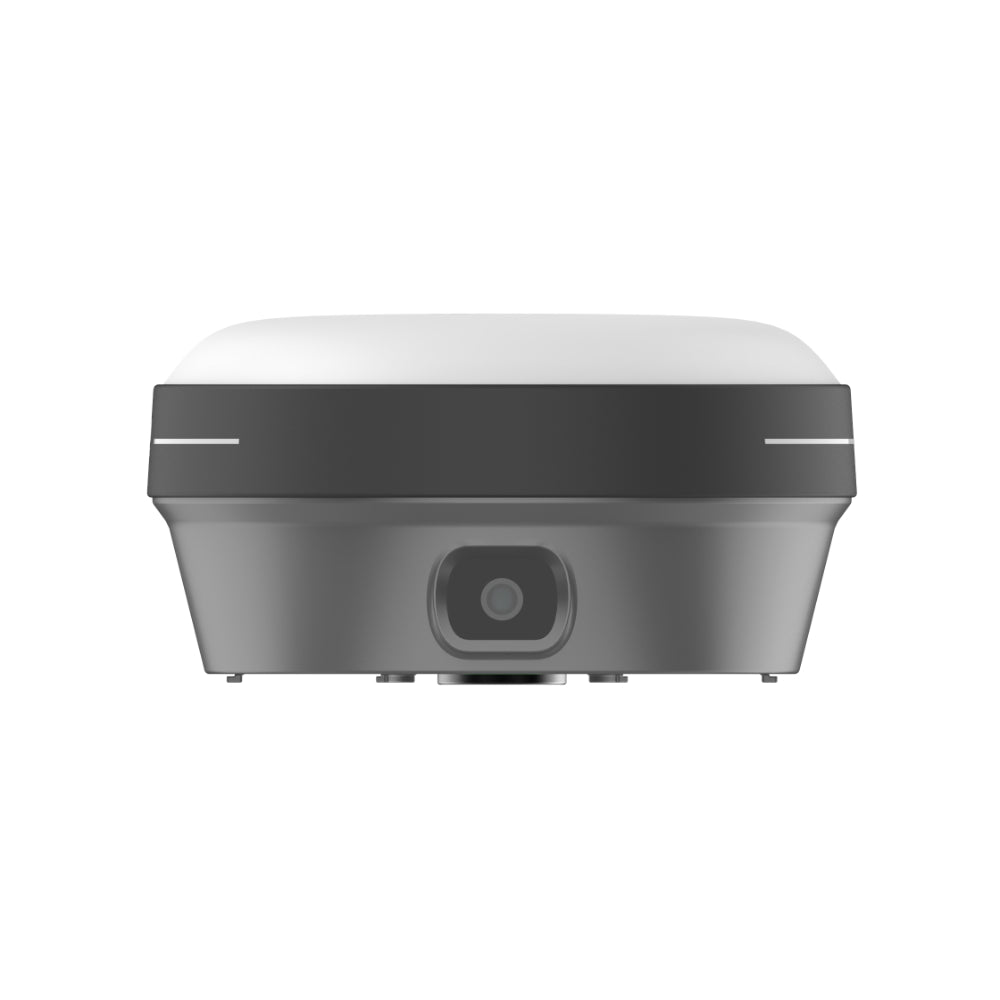
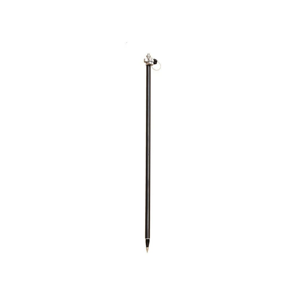
FJD Trion V10a RTK System
Surveying Made Easier for Stakeout
- AR Stakeout with Dual Cameras
- Centimeter-Level RTK Accuracy
- 60° Tilt Compensation
- 1408 GNSS Channels
- IP68 Protection
- Up to 15 Hours Battery Life


Reliable Shipping
1-Year Warranty
Lifetime Customer Support
30-Day Return Guarantee
Pay with Ease


Trusted Delivery

Surveying Made Easier for Stakeout
Grab the V10a and start measuring. Its lightweight design makes it easy to carry, while AR stakeout guidance helps you find points visually.

Visualization with Precise Measurements
Clear Vision, Precise Measurements
The V10a offers clear AR stakeout guidance on site. CAD drawings are shown in the real scene, helping you preview layouts and check alignment before work starts.
Compact But More Powerful
Extensive Connectivity
The V10a supports Wi-Fi, Bluetooth, and one-tap NFC pairing for versatile wireless options. Equipped with both internal and external radios, the V10a maintains strong signal strength even in harsh weather conditions.

Built-in 4G Modem
The V10a features an integrated 4G modem, ensuring compatibility with TDD-LTE, FDD-LTE, WCDMA, GPRS, and GSM/EDGE.

Tilt Survey with high efficiency
The V10a allows tilt surveys up to 60° by automatically compensating the tilted angle, ensuring precise measurements even when the survey pole isn't held perfectly straight.
Built for Real-World Conditions
Designed for outdoor work, V10a keeps measuring accurately in the rain and demanding job sites.

Compact and Lightweight
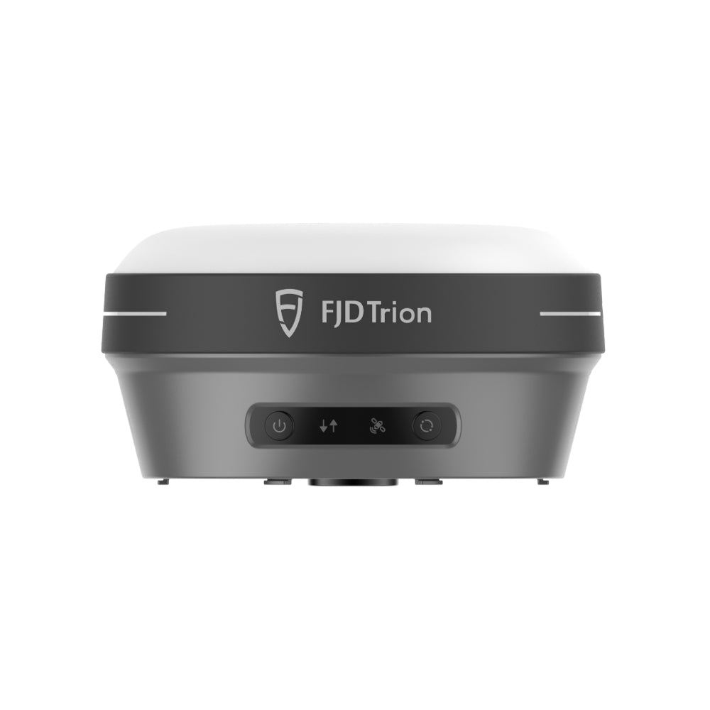
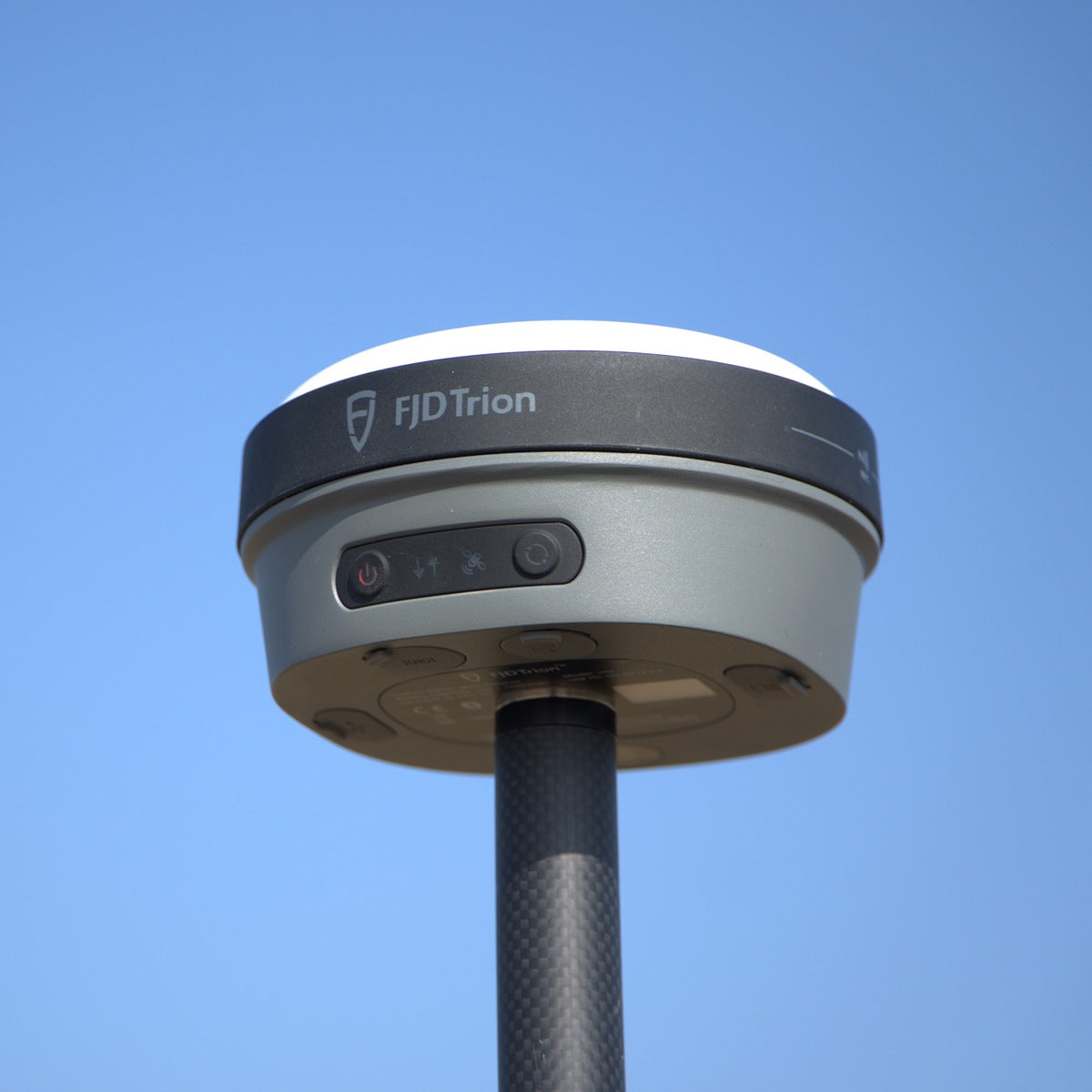
Weighing only 800 g, the V10a is 13cm in diameter and 6.8 cm in height. Being 18% smaller and 15% lighter than previous models, it can be taken with just one hand and thrive wherever you go. Grab it, go farther, and never think twice about portability.
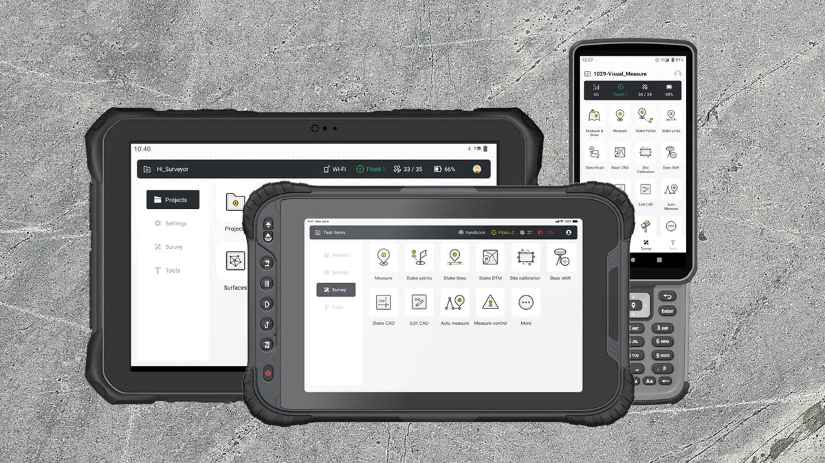
Choose Your Controller
Use a controller for quick tasks, or a tablet for larger visual workflows. Both stay readable in bright outdoor conditions.
Helps You Get It Right, Anywhere


FJD Trion V10a Specifications
GNSS
- Channels
- 1408 Channels
- GPS
- L1A, L1C, L2C, L2P, L5
- GLONASS
- L1, L2, L3
- BeiDou
- B1I, B2I, B3I, B1C, B2a, B2b
- Galileo
- E1, E5a, E5b, E6
- QZSS
- L1, L2C, L5, L6*
- IRNSS
- L5*
- SBAS
- L1C/A
- HAS-PPP
- E6
*Support by a firmware upgrade.
Communications and Data Storage
- SIM card type
- Nano-SIM card
- Network modem
-
Integrated 4G modem:
TDD-LTE, FDD-LTE, WCDMA, EDGE, GPRS, GSM - Wi-Fi
- 2.4 & 5 GHz, 802.11a/b/g/n/ac touch pairing
- Wireless connection
- NFC for device
- Bluetooth
- BT4.2 & BLE
- Ports
-
7-pin LEMO port (External radio)
UHF antenna port
USB Type-C port - Built-in UHF radio
-
Rx/Tx: (410–470) MHz / (902–928) MHz
Transmit Power: 2W
Protocol: TRIMTALK, TRIMMARK III, TT450S,
TRANSEOT, Satel 3AS 4FSK, Lora
Link rate: 9,600 bps to 19,200 bps
Range: 6–12 km typically, up to 16 km with optional conditions - Data formats
-
Input & Output: NMEA-0183, RTCM3.X
Input: RTCM2.X, CMR - Data storage
- 32 GB internal memory
Camera
- Sensor resolution
- Forward: 5 MP, Downward: 5 MP
- Field of view
- 83°
Positioning
- RTK performance
-
H: 8 mm + 1 ppm RMS
V: 15 mm + 1 ppm RMS
Initialization time: <5s
Initialization reliability: >99.9% - Post-processing static
-
H: 2.5 mm + 0.5 ppm RMS
V: 5 mm + 0.5 ppm RMS - High-precision static
-
H: 2.5 mm + 0.1 ppm RMS
V: 3.5 mm + 0.4 ppm RMS - PPK accuracy
-
H: 3 mm + 1 ppm RMS
V: 5 mm + 1 ppm RMS - PPP accuracy
- RMS Horizontal: ±20 cm. RMS Vertical: ±40 cm
- Code differential
-
H: 0.4 m RMS
V: 0.8 m RMS - Autonomous
-
H: 1.5 m RMS
V: 2.5 m RMS - Positioning rate
- 1 Hz, 2 Hz, 5 Hz, 10 Hz, and 20 Hz
- Time to first fix
-
Cold start: <20s
Hot start: <5s
Signal re-acquisition: <1s - Tilt angle
- 0–60°
- RTK accuracy with tilt-compensation
- RMS: 8 mm + 0.6 mm/° tilt
- SBAS
- 60 cm
Hardware
- Temperature
-
Operating: −35°C–65°C
Storage: −40°C–70°C - Humidity
- 95% non-condensation
- Ingress protection
-
IP68, dustproof, protected from continuous
immersion to depth of 1 m - Drop
- Designed to survive a 2-meter pole-drop
- Li-ion battery capacity
-
Built-in battery
4900 mAh, 7.4 V
30 W PD Fast Charge - Operating time on internal battery
-
Rover 15 h, Base 10 h
Static: >25 h - External power input
- 9–28 V DC
- Dimensions (D × H)
- Φ130 × 68 mm
- Weight
- Approximately 800g
- Power consumption
-
UHF/4G RTK Rover w/o camera: Typical 3W
Visual stakeout: Typical 4.5W - Waterproof and breathable membrane
- Prevent water vapor from entering under harsh environments
- Tilt Sensor
- Immune to magnetic disturbances E-bubble leveling
Note: The battery life is subject to the operation environment, working temperature, and working mode. It has a standard lifespan in normal operating conditions.
FAQs
What is the FJD Trion V10a RTK System?
The FJD Trion V10a is a high-precision GNSS RTK surveying system designed for land surveying, construction layout, mapping, and geospatial data collection. It supports both base station and rover operations.
What is the difference between a V10a Base Station and Rover?
The V10a Base Station provides RTK correction data, while the Rover uses correction data to determine precise positions for surveying and stakeout tasks.
Do I need a base station to use the FJD Trion V10a Rover?
Not necessarily. The V10a Rover can use correction data from a compatible NTRIP/CORS network, eliminating the need for a separate base station where reliable correction services are available.
What is the FJD Trion V10a used for?
The V10a is designed for land surveying, topographic mapping, construction stakeout, boundary surveys, and other high-precision GNSS positioning applications.
Does the FJD Trion V10a support NTRIP?
Yes. The V10a supports NTRIP corrections, allowing users to access compatible RTK correction services through an internet connection.
What is the difference between the V10a EMEA and GL versions?
The EMEA and GL versions use different radio frequency configurations and are intended for different regional markets. Choose the version compatible with your country's radio frequency regulations.
Does the FJD Trion V10a Rover include a controller?
The Rover package includes a handheld field controller for surveying operations.
How accurate is the FJD Trion V10a RTK GNSS receiver?
The V10a delivers RTK positioning accuracy of 8 mm + 1 ppm horizontally and 15 mm + 1 ppm vertically (RMS), under specified conditions.
Does the FJD Trion V10a support AR stakeout and tilt surveying?
Yes. The V10a features dual 5 MP cameras for visual AR stakeout and supports tilt compensation up to 60°, making field measurements and stakeout more efficient.
What's included in the FJD Trion V10a Base Station package?
- V10a GNSS Receiver × 1
- Receiver Power Adapter & Charging Cable × 1 set
- Radio Whip Antenna × 1
- Antenna Connector × 1
- Extension Pole × 1
- Aluminum Dish × 1
- Height Measurement Accessory × 1
- Adapter Cable × 1
- User Manual, Certification & Warranty Card
What's included in the FJD Trion V10a Rover package?
- V10a GNSS Receiver × 1
- Field Controller × 1
- Receiver Power Adapter & Charging Cable × 1 set
- Field Controller Power Adapter & Charging Cable × 1 set
- Field Controller Bracket × 1
- Radio Whip Antenna × 1
- User Manual, Certification & Warranty Card