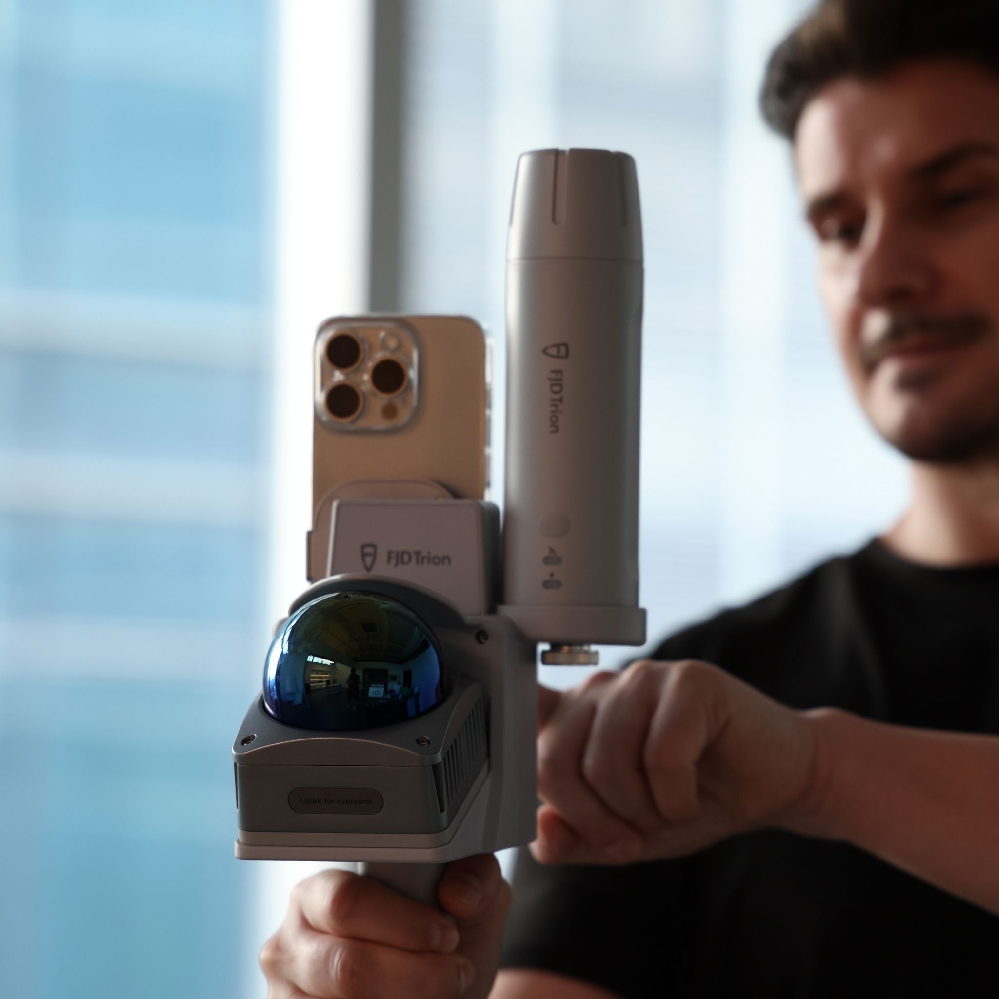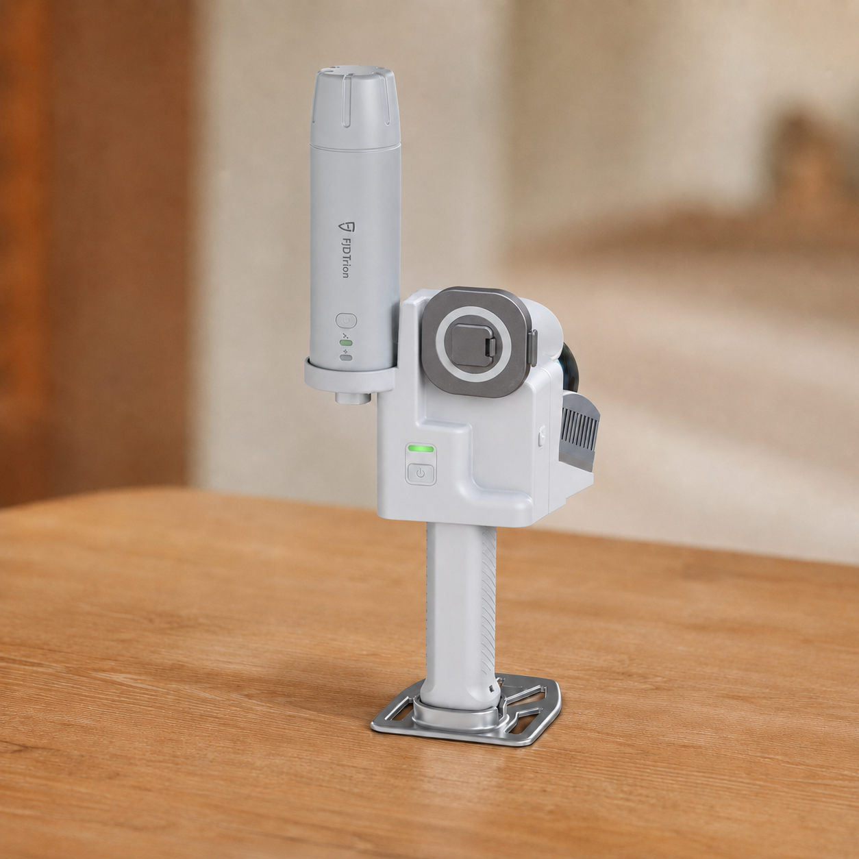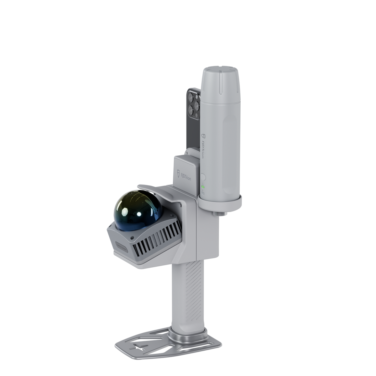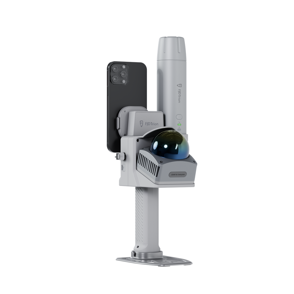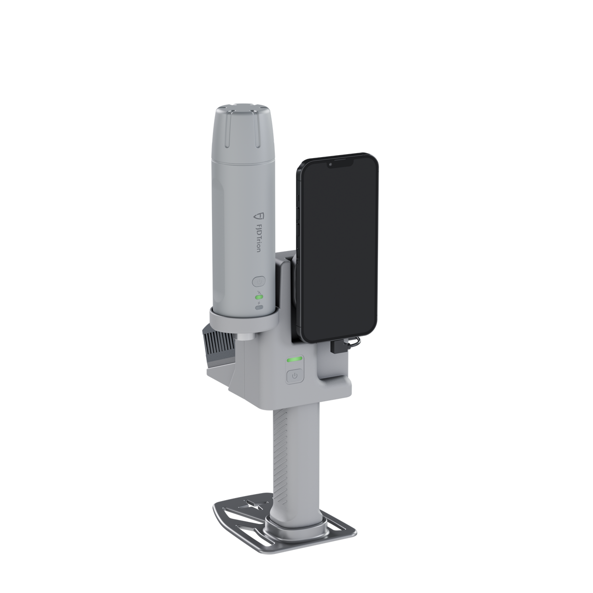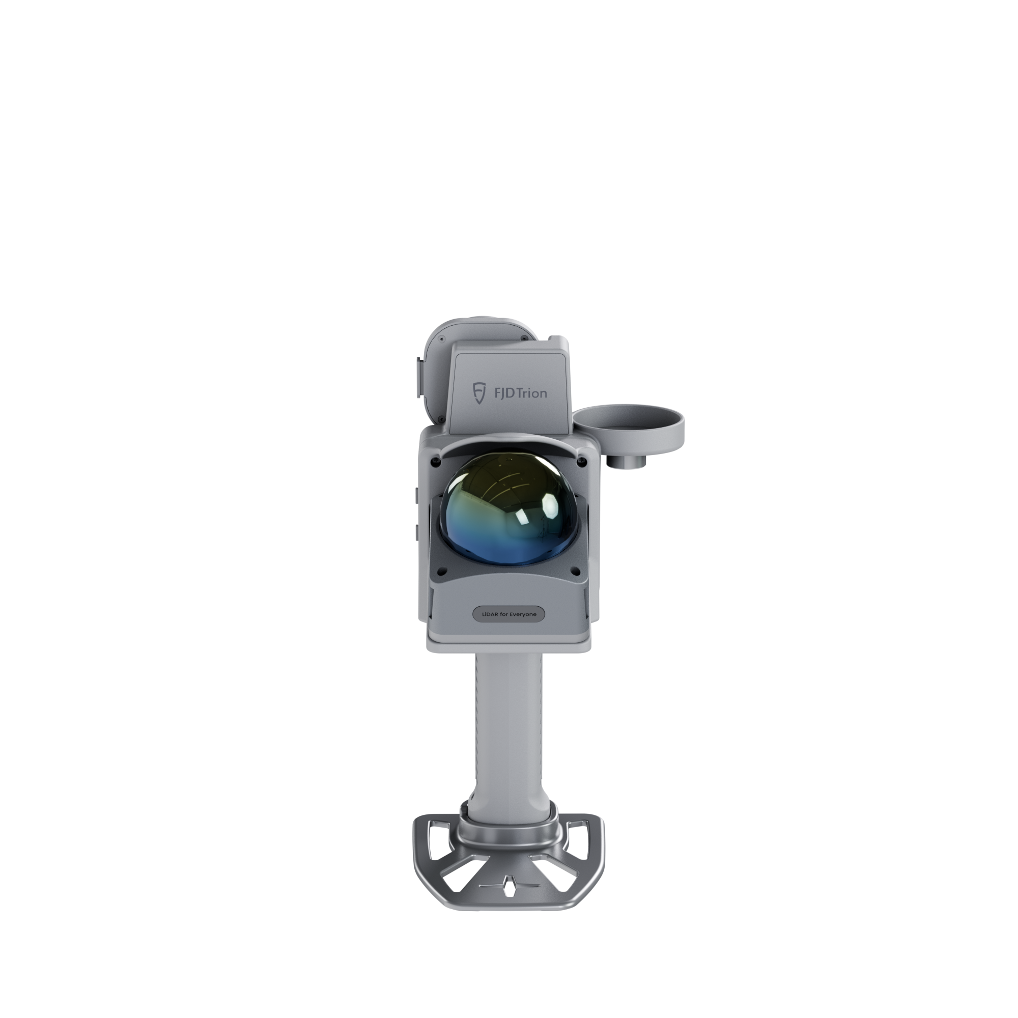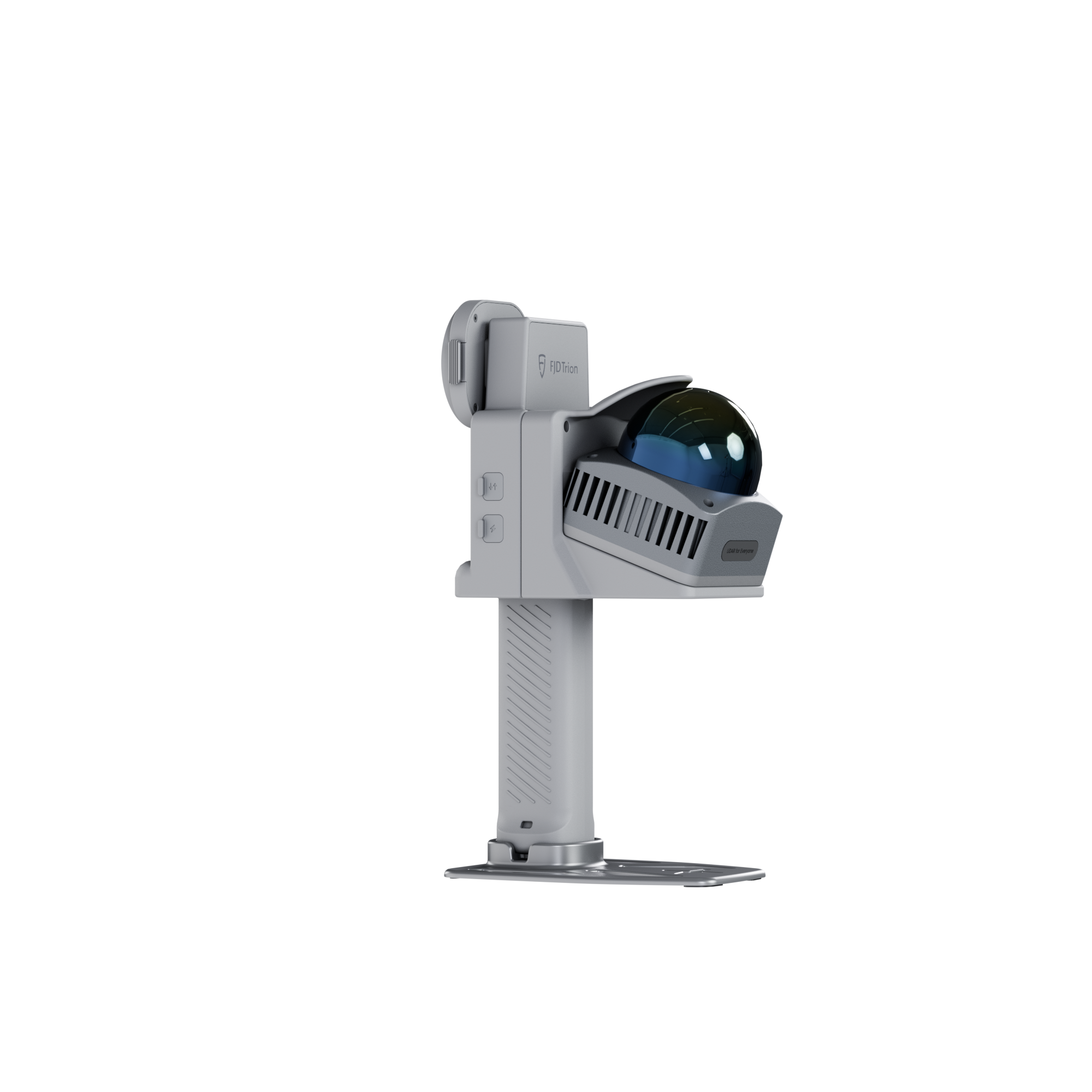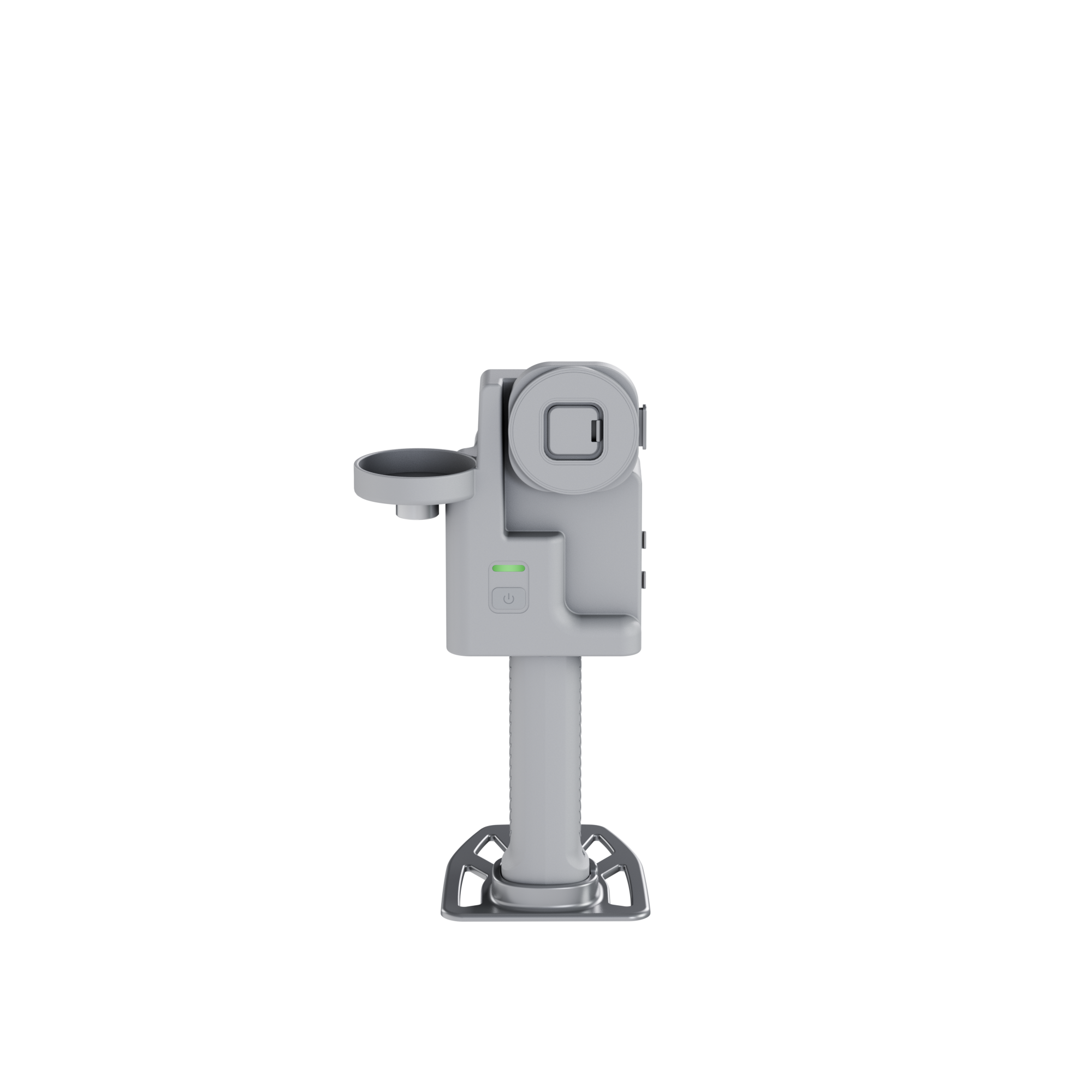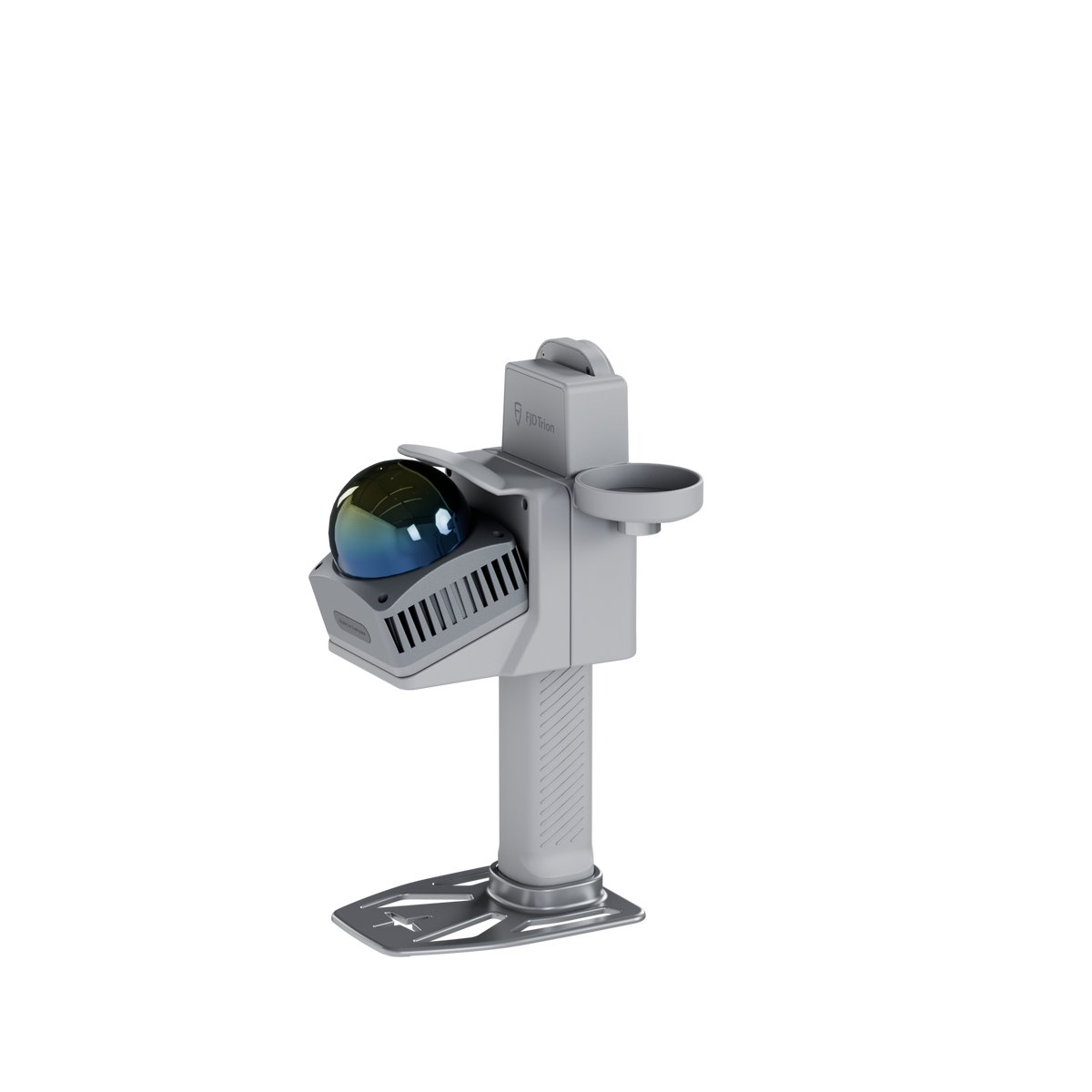



Make the leap to real LiDAR

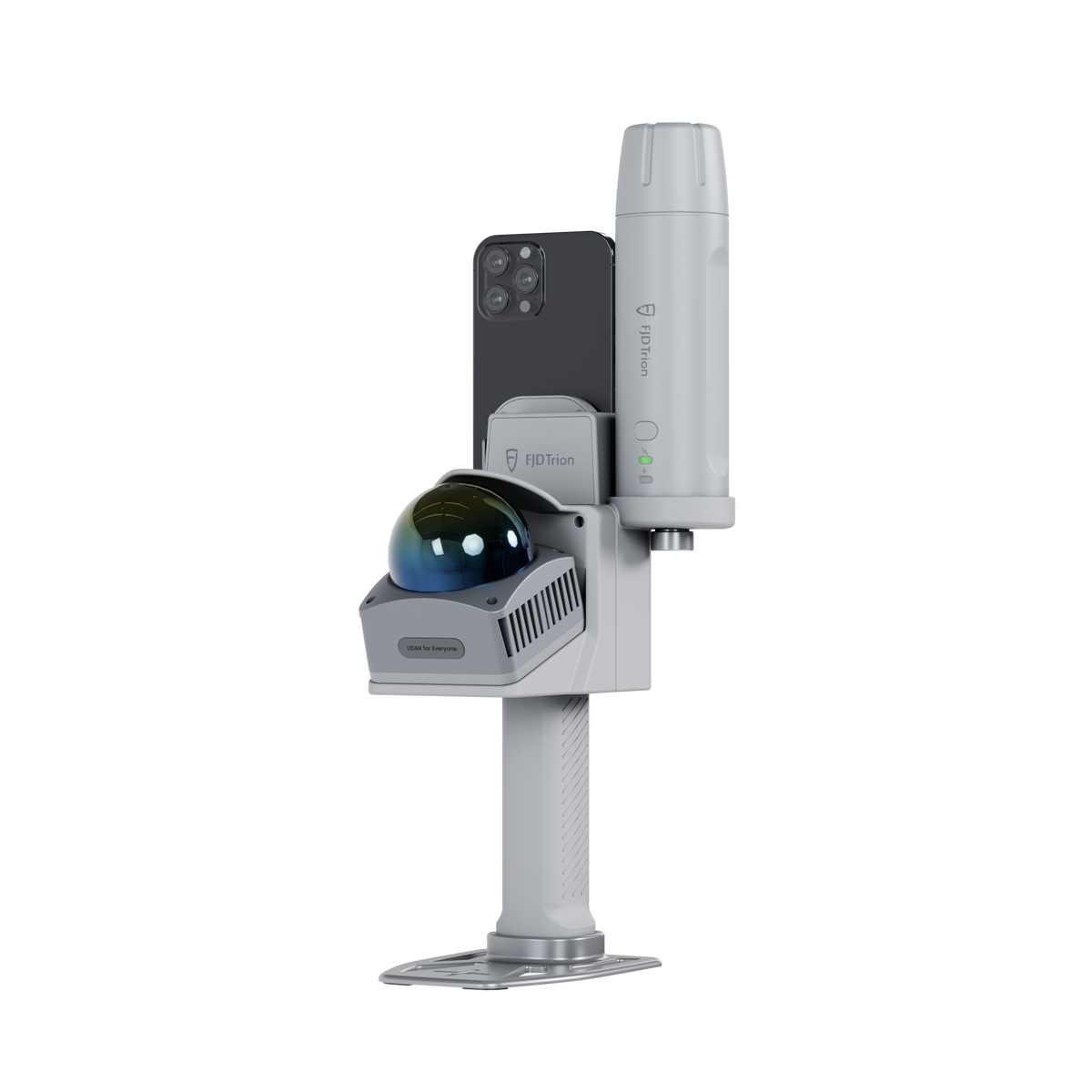
Have you outgrown phone LiDAR? Feel like you need an upgrade? V4e Go is your next step, offering a dependable way to capture spaces and build clearer project records. Serious results, but without a serious price tag.  

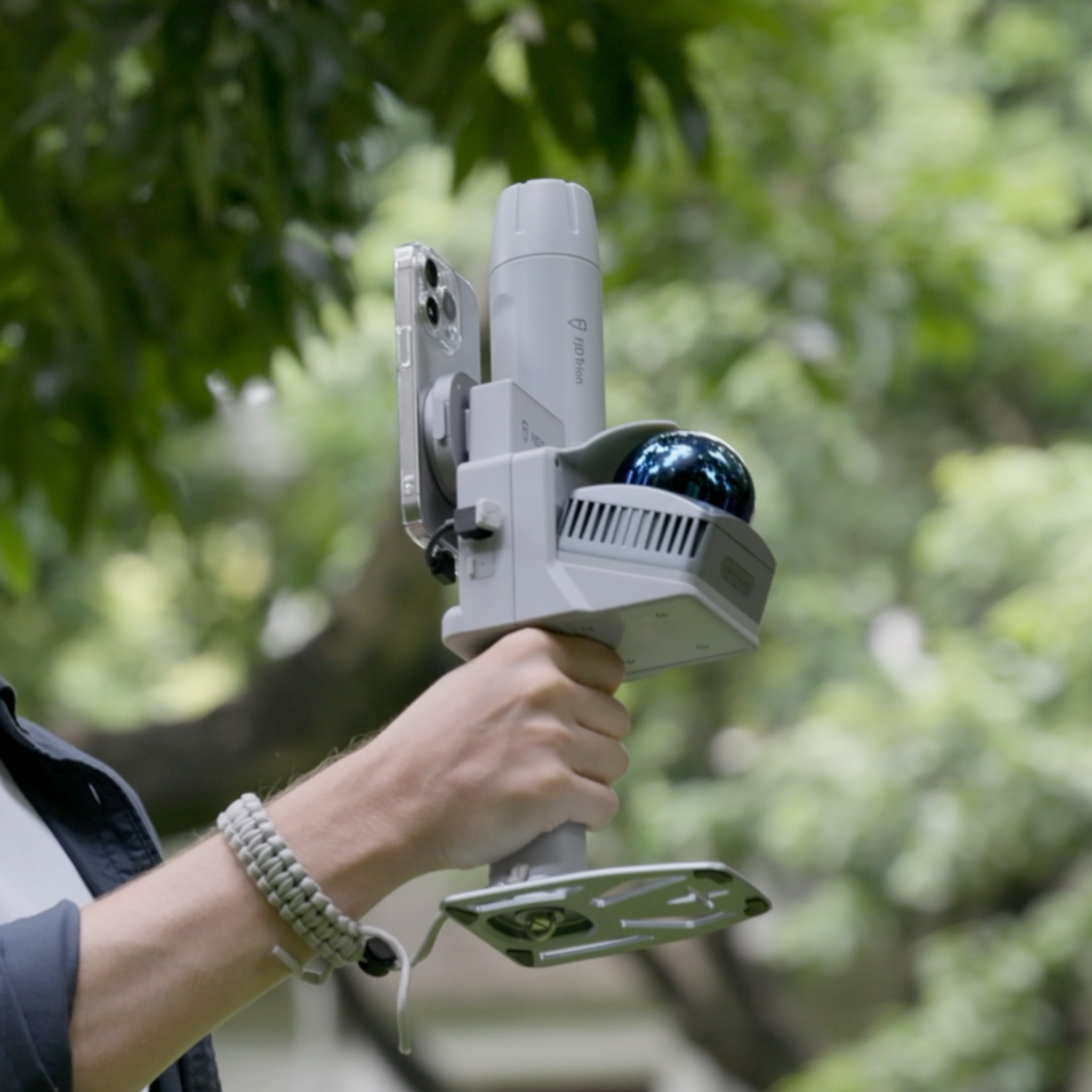
Man using a handheld 3D LiDAR scanner with a mounted smartphone for outdoor real-time point cloud capture

Precise scan on every pass

Capture 154,600 points per second, every time. Each walkthrough delivers dense, accurate data, so the first scan is the one you keep. 

Hands attaching a smartphone to the magnetic quick-release mount of a handheld 3D scanner

Ready in a Snap

The magnetic mounting system securely connects your phone in seconds, so you can snap on, power up, and get straight to work.

User pairing a smartphone with a handheld 3D scanner showing broad mobile phone compatibility

More Ways to Go

V4e Go supports a wide range of smartphones, fitting into your workflow without forcing your team to switch devices.

Close-up of operator holding a portable SLAM 3D scanner during field surveying

Indoor & Outdoor 

Handle interiors with confidence, then add the GNSS receiver for centimetre-level outdoor positioning in real-world coordinates.

Two ways from scan to result

With V4e Go, you can choose the workflow that best fits your project. If you work mainly indoors, we offer a direct path from scanning to floor plans. If your work takes you both within and beyond walls, there is a broader path for processing different types of 3D data and deliverables.

The Creative workflow

Floor plan

Floor Plans

For focused indoor spaces

Best for: Interior designers, renovation teams and other users who mainly scan indoor spaces and need to turn them into floor plans.

FJD Trion V4e Go scanning an indoor space and capturing a detailed 3D view
Capture the Room with Ease

FJD Trion Creative App

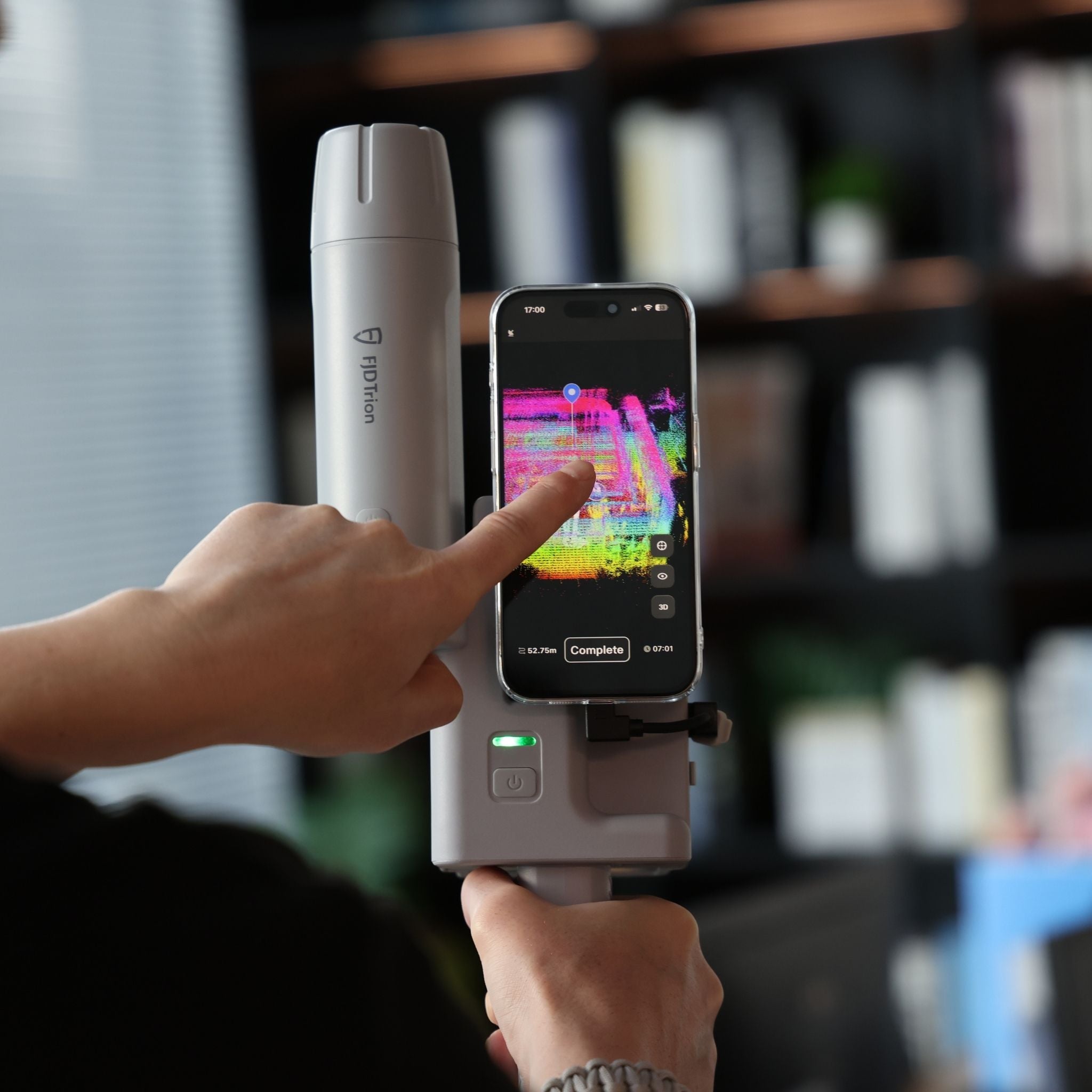
Use the FJD Trion Creative app with V4e Go to capture indoor spaces. Watch the scan build in real time, check for missed areas and make quick corrections before leaving the site.

The Fast Pass to a Floor Plan

FJD Trion Creative Portal

Upload the project directly to Creative Portal. Review the 3D mesh, adjust walls, add doors and windows, and export the finished floor plan for the next stage of your project.

User using FJD Trion Creative Portal on a laptop to view a 3D floor plan

The Model Web workflow 

BIM model creation

BIM Models

For compact design projects
Tree inventory

Tree Inventory

For localised vegetation surveys

Volume analysis

Volume Analysis

For inventory checks and volume tracking

Best for: Projects that extend beyond indoor floor plans, including indoor and outdoor capture, forestry, BIM management and general point cloud processing.

FJD Trion V4e Go scanning indoor and outdoor spaces with the FJD Trion Scan app
Watch Reality Take Shape

FJD Trion Scan

Use the FJD Trion Scan app with V4e Go to capture spaces indoors or outdoors. View the point cloud as you scan and review the captured data onsite before uploading it for further processing.

Download FJD Trion Scan on the App StoreGet FJD Trion Scan on Google Play
Keep Every Result Within Reach

FJD Trion Model Web

Upload V4e Go projects to FJD Trion Model Web for cloud-based processing. Create tree inventories, manage BIM projects, generate floor plans and perform point cloud processing in the browser.

User viewing a 3D project in FJD Trion Model Web on a laptop

What You Will Receive

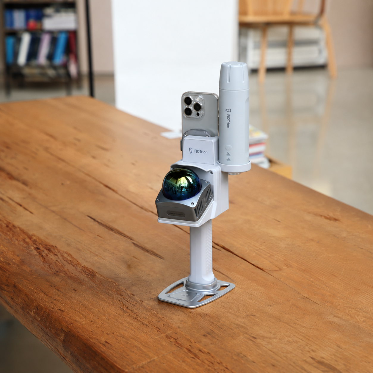
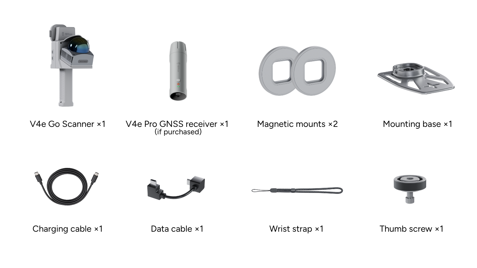
FJD Trion V4e Go package contents, including scanner, optional V4e Pro GNSS receiver, magnetic mounts, mounting base, cables, wrist strap, and thumb screw

Before Attaching the Magnetic Mount: The adhesive magnetic plate is designed to attach to a phone case. Once applied, it could leave adhesive residue. We recommend using a separate, inexpensive phone case dedicated to V4e Go. The phone case is not included.

V4e Go Specifications

FJD Trion V4e Go 360-degree scanning view

Specifications

Point Cloud Output 154,600 points/s @ 70° vertical FOV
Range 0.05-50 m (90% reflectivity); 0.1-25 m (10% reflectivity)
Post-Processed Point Cloud Accuracy* Relative: 1 cm; Absolute: 3 cm
Field of View (FOV) Horizontal: 360°; Vertical: -10° to 60°
Laser Wavelength 905 nm ± 5 nm
Eye Safety Rating CLASS 1
Sampling Rate ≥ 200 kHz
*Lab-tested accuracy; actual results may vary.
iOS Compatible with iPhone 15 and later models
Android OTG-enabled Android devices with required driver
*Check device compatibility in the FJD Trion Creative app before use.
Charging Input 5V/3A
Battery 3.6 V / 6,700 mAh
Power Consumption < 5 W (at 25°C)
Charging Time 3 hours
Operating Time 5 hours
Data Port USB 3.0
Charging Port USB 2.0
Dimensions (L × W × H) 140 × 167 × 270 mm
Weight 1,025 g (Main unit)
Mounting Interface 5/8-inch internal threaded mount
Operating Temperature -20 °C to 60 °C
Charging Temperature 0 °C to 45 °C
BDS (BeiDou) B1I, B2I, B3I, B1C, B2a, B2b*
GPS L1C/A, L2P, L5
GLONASS G1, G2
Galileo E1, E5b, E5a, E6*
QZSS L1, L2, L5
SBAS L1C/A
Parallel Channels 1408
*Support will be available with future firmware updates.
Differential Data Formats RTCM 2.3, RTCM 3.x, CMR
Output Data Format NMEA-0183
Signal Reacquisition Time ≤ 1 s
Time to First Fix (TTFF) Cold start: ≤ 30 s; Hot start: ≤ 5 s
RTK Initialization Time < 5 s
Initialization Data Reliability > 99.9%
Data Update Rate Measurement & positioning: 1 Hz, 2 Hz, 5 Hz, 10 Hz, 20 Hz
Single Point Positioning Accuracy (RMS) H: ≤ 1.5 m; V: ≤ 2.5 m
DGPS (RMS) H: ≤ 0.4 m; V: ≤ 0.8 m
RTK (RMS) H: ≤ 0.8 cm + 1 ppm; V: ≤ 1.5 cm + 1 ppm
Time Accuracy (RMS) 20 ns
Speed Accuracy (RMS) 0.03 m/s
Laser Tilt Measurement Accuracy (V4e Pro GNSS Receiver)
≤ 3 cm error at 3 m distance (0 ≤ 30°)
Tilt Measurement Accuracy (V4e Pro GNSS Receiver)
3D error ≤ 2.5 cm (0 ≤ 30°); 3D error ≤ 3.5 cm (0 ≤ 60°)

Frequently asked questions

What is FJD Trion V4e Go?

FJD Trion V4e Go is a compact handheld 3D LiDAR scanner for capturing indoor and outdoor spaces as measurable point clouds. It combines quality reality capture with a familiar smartphone interface, providing an accessible way to document buildings, landscapes and other compact project sites.

Is V4e Go a phone LiDAR scanner?

No. V4e Go is a dedicated LiDAR scanner, while the connected smartphone serves as the display and control interface. The scanning range, point-cloud capture and positioning capabilities come from V4e Go rather than the phone’s built-in sensors.

Can V4e Go scan both indoors and outdoors?

Yes. V4e Go supports indoor and outdoor 3D scanning. Typical applications include floor plan creation, existing-condition documentation, BIM, stockpile measurement, tree inventory, landscape surveying and general reality capture.

Does V4e Go support GNSS?

Yes. When paired with the V4e Pro GNSS receiver, V4e Go can capture georeferenced data for outdoor projects. For indoor or non-georeferenced scanning, V4e Go can be used without GNSS.

What results can I create with V4e Go?

V4e Go can capture point clouds for creating floor plans, BIM models, tree inventories, volume reports, meshes and other project deliverables. Available outputs depend on the selected processing platform, project type and capture setup. 

What software does V4e Go use?

Scanning is controlled through the FJD Trion Creative app or the FJD Trion Scan app. After capture, projects can be uploaded to Creative Portal for floor plan workflows or exported and uploaded to Model Web for applications such as BIM management, forestry and volume calculation (coming soon). 

Which smartphones are compatible with V4e Go?

V4e Go supports a range of compatible smartphones. The phone provides the interface for viewing and controlling the scan, but it does not supply the LiDAR data. Users should check the current compatibility list before purchase.

Who is V4e Go designed for?

V4e Go is designed for professionals who need more dependable and versatile capture than phone LiDAR without adopting a heavier scanning workflow. It suits interior designers, contractors, BIM teams, survey service providers, arborists and other users working on compact or recurring projects.