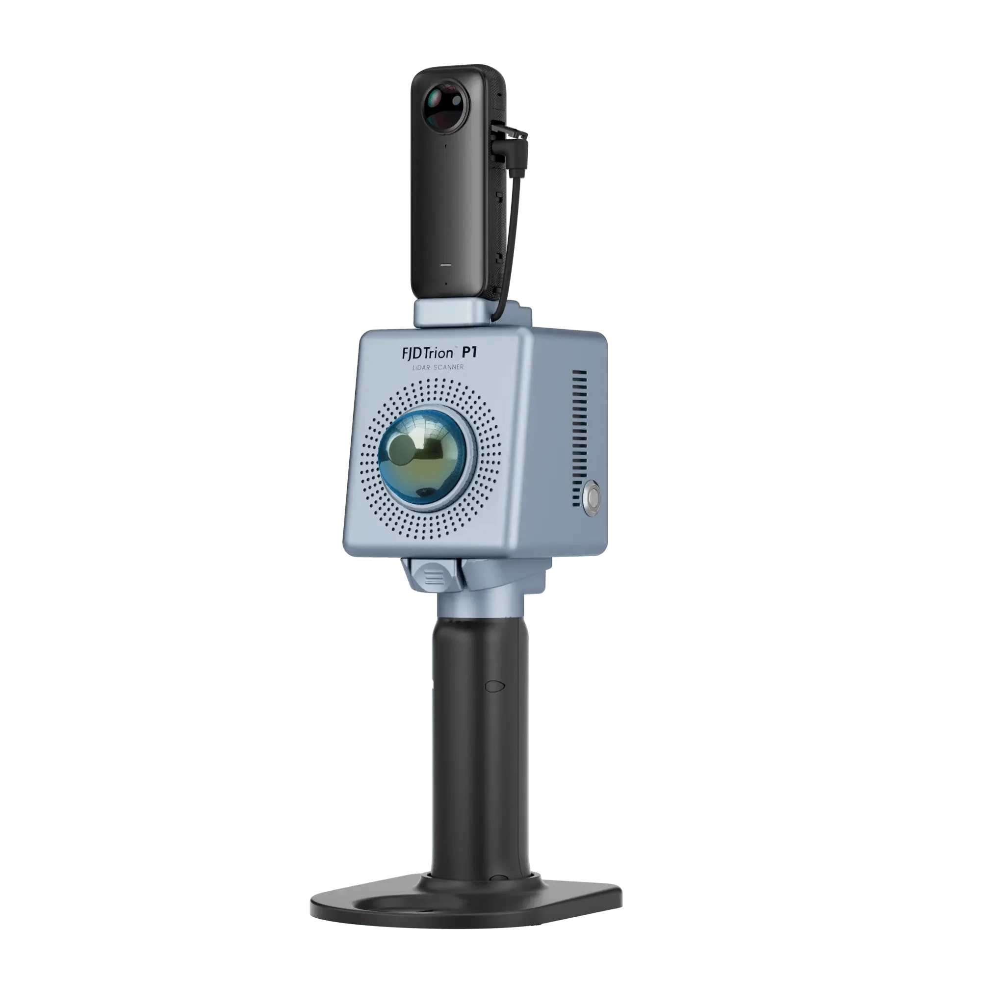
Una potente solución LiDAR portátil para estudios forestales modernos.
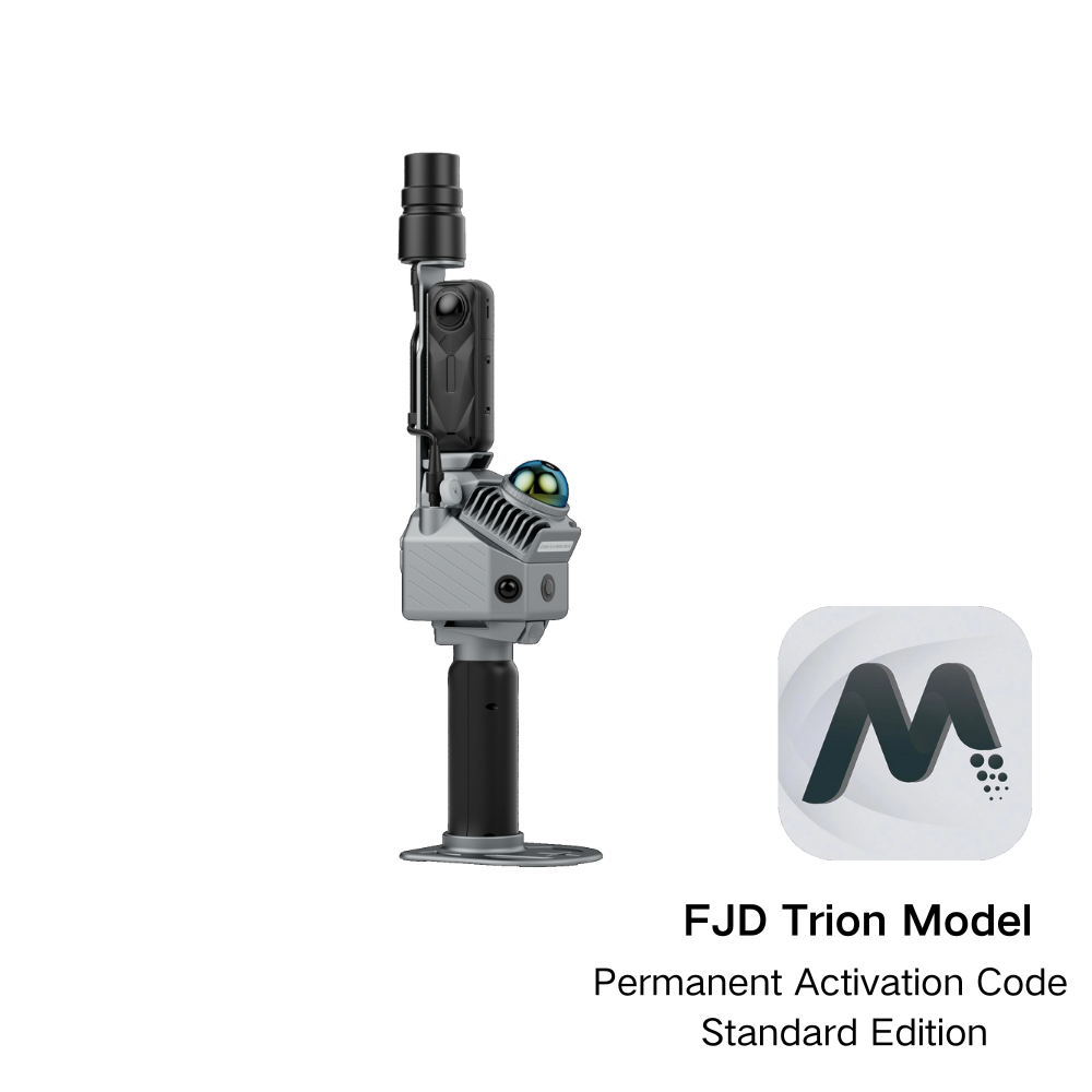
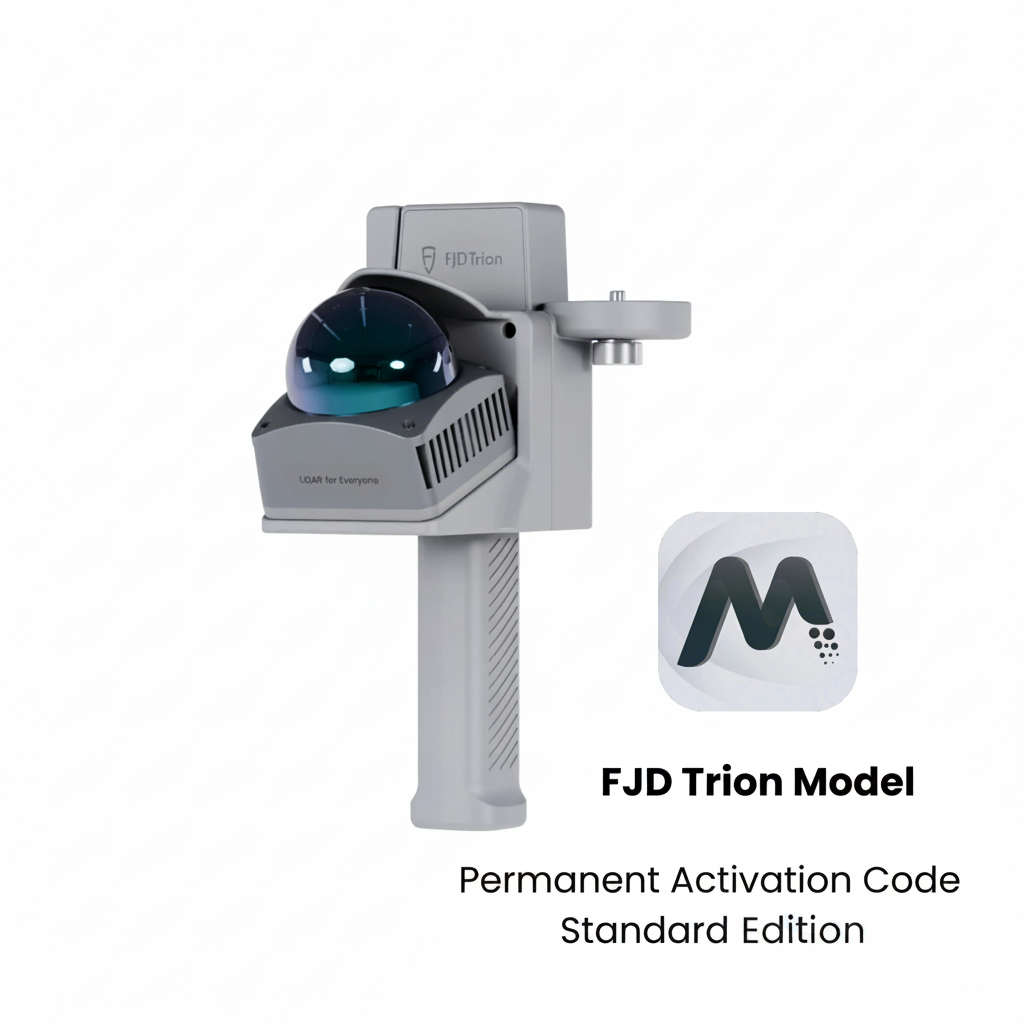
El escáner LiDAR P2/V4e captura datos 3D de alta densidad con posicionamiento GNSS, mientras que el modelo FJD Trion extrae automáticamente los parámetros de los árboles y genera informes listos para usar. haga clic aquípara ver el tutorial del módulo de Silvicultura.
Rápido. Preciso. Listo para el campo.
Los métodos tradicionales te están frenando.
Gran carga de trabajo de campo
Las herramientas manuales y el trabajo de campo realizado por varias personas obligan a los topógrafos a inspeccionar los árboles uno por uno, lo que ralentiza las operaciones y exige mucho tiempo y coordinación, incluso en áreas pequeñas.
Confianza limitada en los resultados
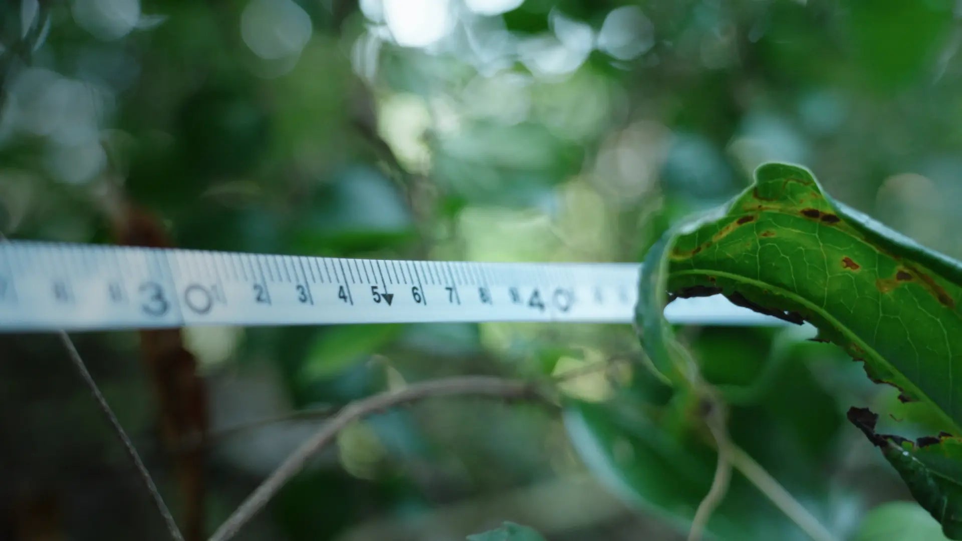
El terreno irregular, la vegetación densa y los errores humanos introducen inconsistencias. Pequeñas desviaciones en el diámetro a la altura del pecho o la altura pueden afectar significativamente los cálculos del volumen de madera y el almacenamiento de carbono.
Flujos de trabajo lentos y fragmentados
A pesar del intenso trabajo de campo, las encuestas tradicionales a menudo solo arrojan resultados básicos, mientras que un análisis más profundo y el modelado digital requieren herramientas adicionales y trabajo repetido.
¿Por qué elegir FJD Trion?

Reducir la presión del trabajo de campo
Ligero y fácil de desplegar, el FJD Trion permite un escaneo sencillo mediante recorridos virtuales, de modo que los equipos más pequeños pueden capturar rápidamente datos forestales completos.
Mediciones forestales más consistentes
La captura digital de datos y la extracción automatizada de parámetros ayudan a reducir la variabilidad en los flujos de trabajo manuales, lo que permite obtener mediciones forestales más consistentes a gran escala.
Amplios datos forestales, listos en un solo informe.
Desde el diámetro a la altura del pecho de los árboles hasta la capacidad de almacenamiento, capture datos forestales detallados y genere informes listos para usar con ForestMind, todo dentro del modelo FJD Trion.
Flujo de trabajo de campo a resultado más rápido
Reduzca el tiempo de medición.
Precisión de la medición
Error promedio de DBH
Cómo funciona
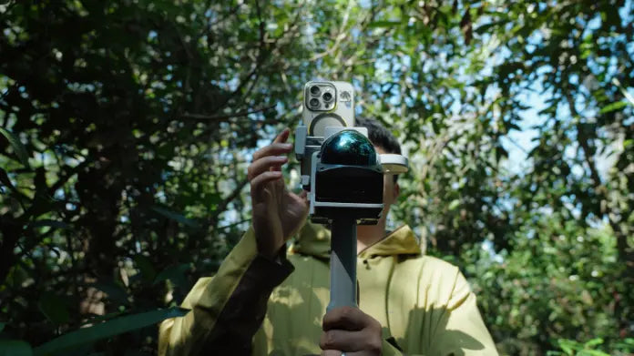
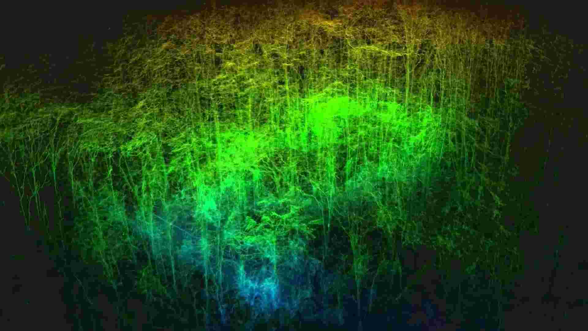
1. Escanea el bosque.
Capture datos forestales en todo el sitio con el escáner FJD Trion, ya sea de forma portátil, montado en un dron o transportado en una mochila, generando nubes de puntos sin procesar y datos de imagen para su posterior procesamiento.
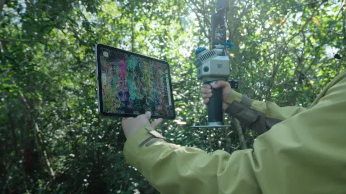
2. Procesar los datos
Separe los árboles individuales de la nube de puntos y asigne a cada uno un ID único, creando una base clara para el análisis a nivel de árbol.
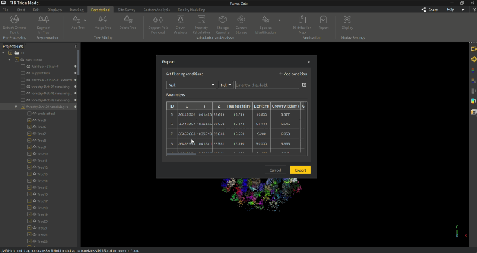
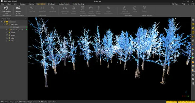
3. Extraer información clave
Calcula automáticamente los parámetros forestales clave, como la altura, el diámetro a la altura del pecho (DAP), el ancho de la copa, el volumen de madera, la especie y los datos relacionados con el carbono, y luego exporta informes listos para usar a nivel de árbol.
4. Facilitar una gestión más inteligente
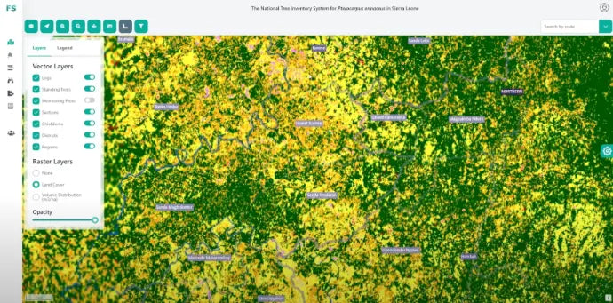
Integrar los datos forestales en los sistemas de gestión para el seguimiento, la planificación y las operaciones a largo plazo.
Lo que
dice la gente
Bogdan Congra, Diseño ForestalRumania“Es fácil de usar y de entender, tanto en lo que respecta a sus limitaciones como a sus ventajas. Estoy convencido de que, en el sector forestal, FJD Trion es la mejor herramienta disponible actualmente para capturar la naturaleza y convertirla a formato digital.”
AntesLos estudios forestales solían ser lentos y laboriosos. Los topógrafos tenían que medir los árboles uno por uno con herramientas manuales, y el juicio subjetivo a menudo hacía que los resultados fueran menos consistentes y más difíciles de confiar en ellos.
DespuésCon FJD Trion, los equipos forestales pueden capturar datos forestales completos más rápidamente, generar resultados 3D objetivos y producir resultados digitales útiles con menos esfuerzo, mayor precisión y un flujo de trabajo más eficiente.