

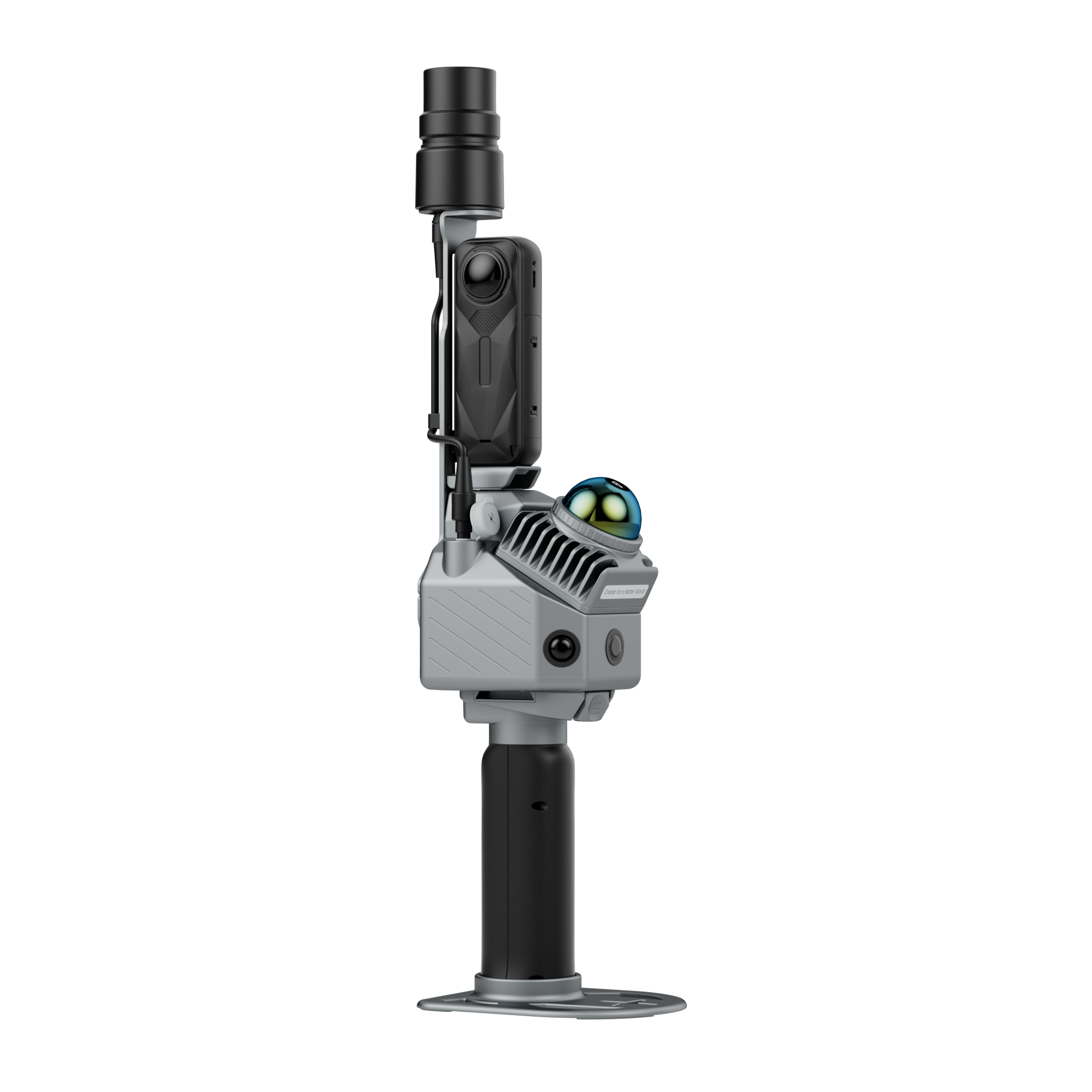
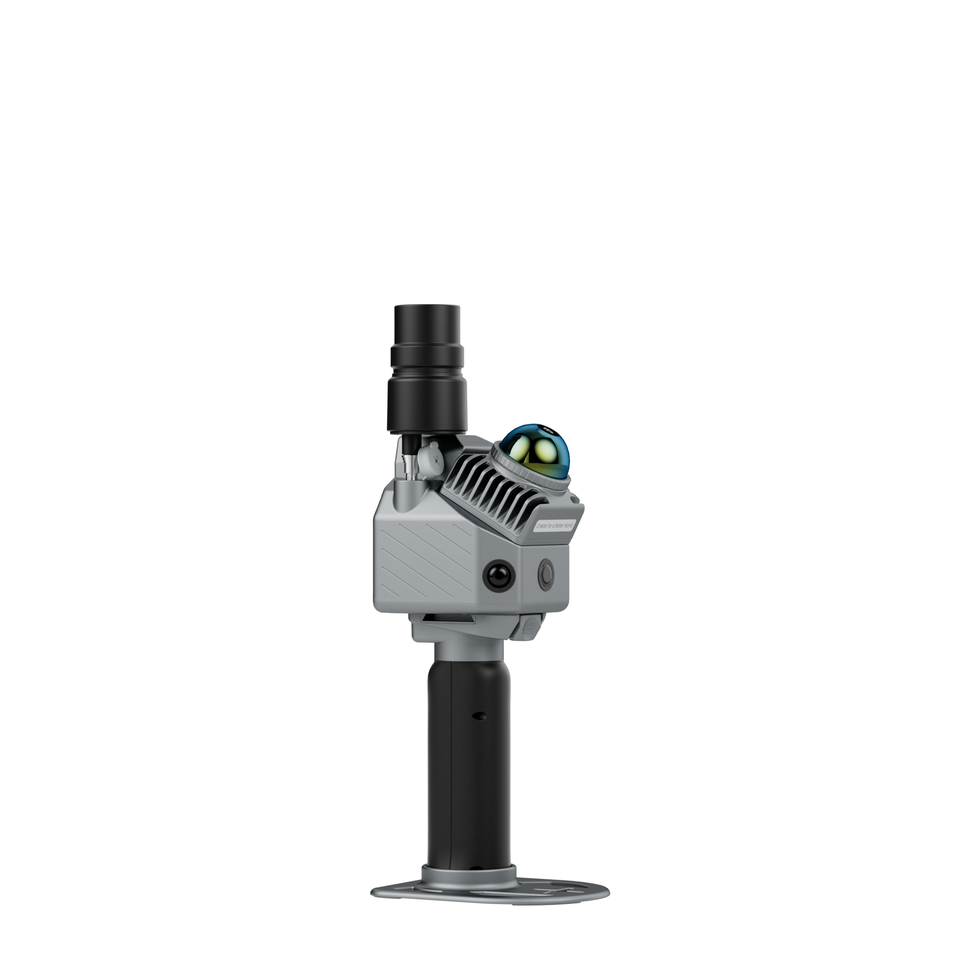


FJD Trion P2
- 700g ultra-compact design for effortless fieldwork
- Centimeter-level accuracy with drift-free Multi-SLAM fusion
- 5–7× denser point clouds with HyperDense+ feature
- Real-time true-color point clouds on site
- One scan, multiple deliverables: point clouds, floor plans, meshes, panoramas

Pairs well with
Fast, Free Shipping
30-Day Return Guarantee
1-Year Warranty
Lifetime Customer Support
Pay with Ease


Trusted Delivery

If you have any questions, you are always welcome to contact us. We'll get back to you as soon as possible, within 24 hours on weekdays.
-
Shipping Information
Use this text to answer questions in as much detail as possible for your customers.
-
Customer Support
Use this text to answer questions in as much detail as possible for your customers.
-
FAQ’s
Use this text to answer questions in as much detail as possible for your customers.
-
Contact Us
Use this text to answer questions in as much detail as possible for your customers.

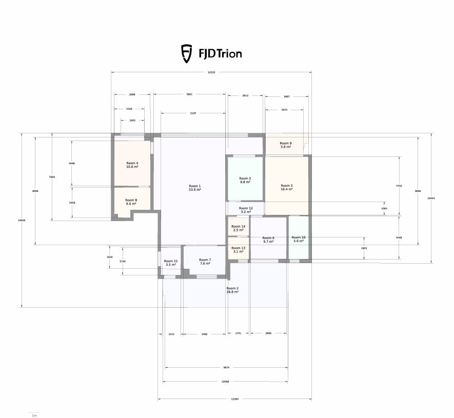
What You Can Deliver with P2
From one scan, you can create:
Project Management
- 2D/3D Project Management
- Point Cloud Viewing
- Point Cloud Measurement
- Mesh Model Viewing
- 3DGS Model Viewing
- Data Sharing
- Data Download
3DGS Modeling
- 3DGS Model Generation from Mobile Images
- 3DGS Model Generation from Point Clouds
Data Processing
- Point Cloud Mapping
- Point Cloud Colorization
- GNSS Registration
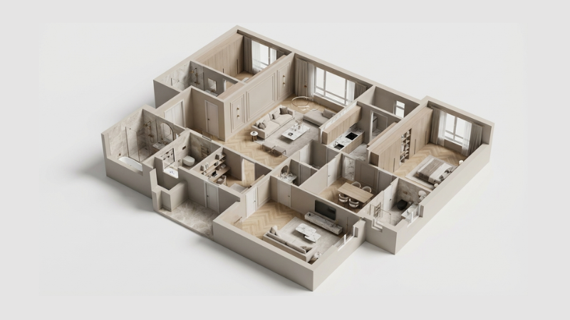
Interior Design
- DXF Floor Plans
- PDF Floor Plans
- OBJ 3D Models
- Smart-generated Interior Renderings
Packing List


Seamless Integration into FJD Trion Software Ecosystem
Streamline the workflow from point cloud capture, data processing, to deliverable sharing, giving you a smooth project experience.

FJD Trion Scan
Data collection
Real-time app control
Scan file management

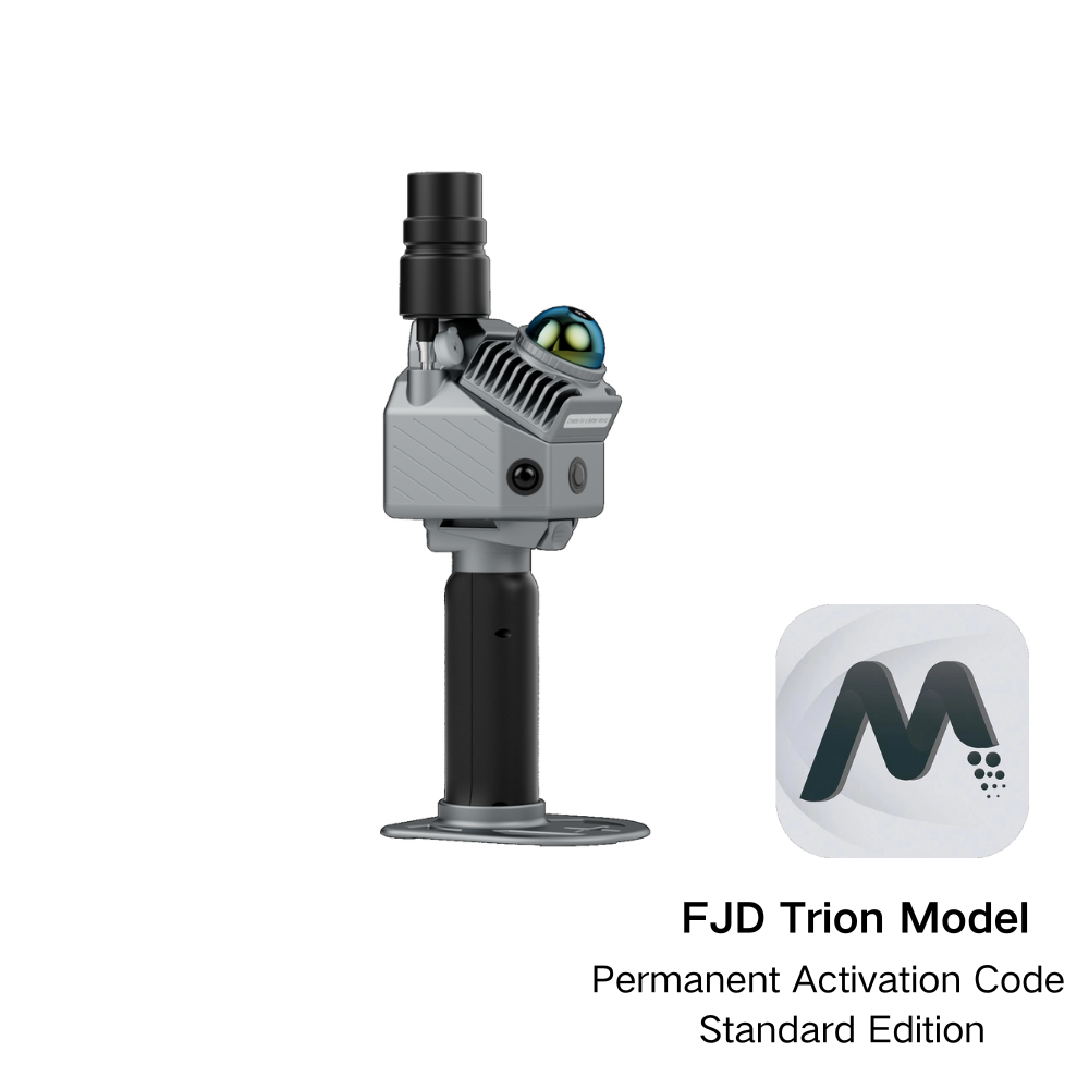
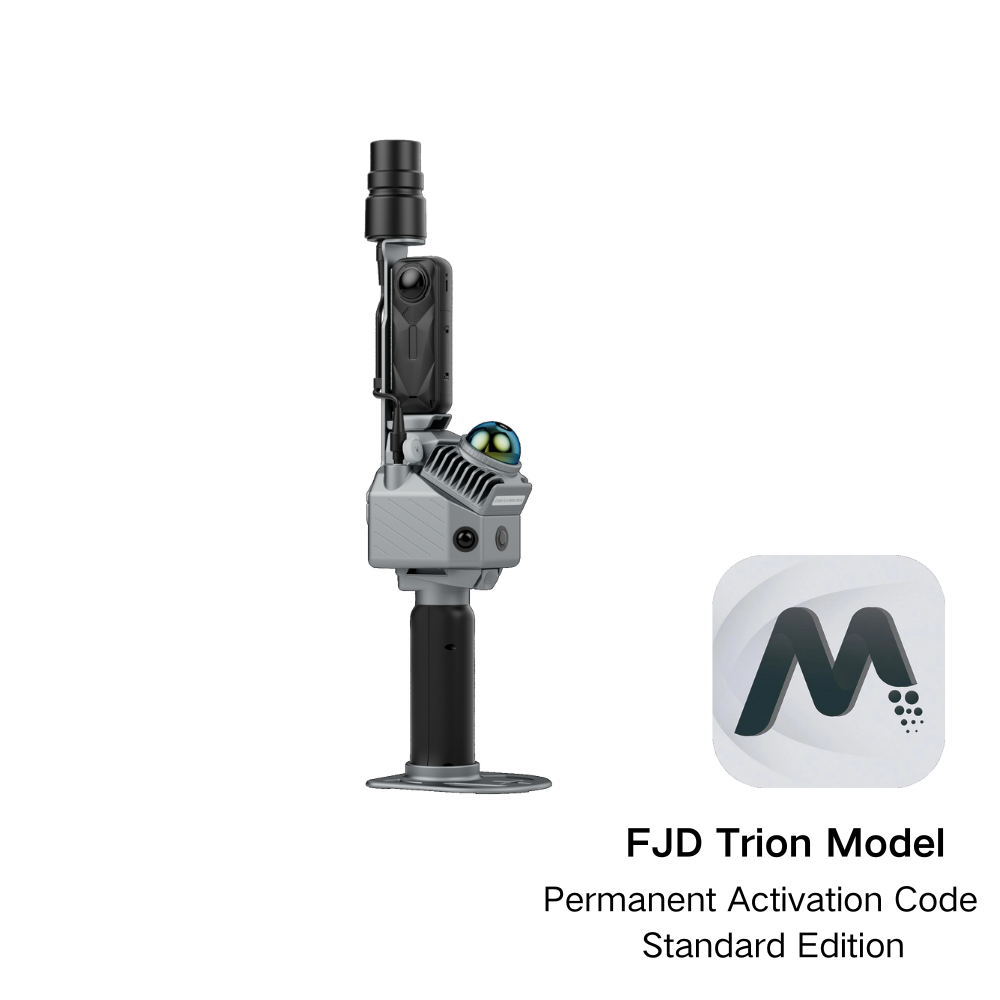
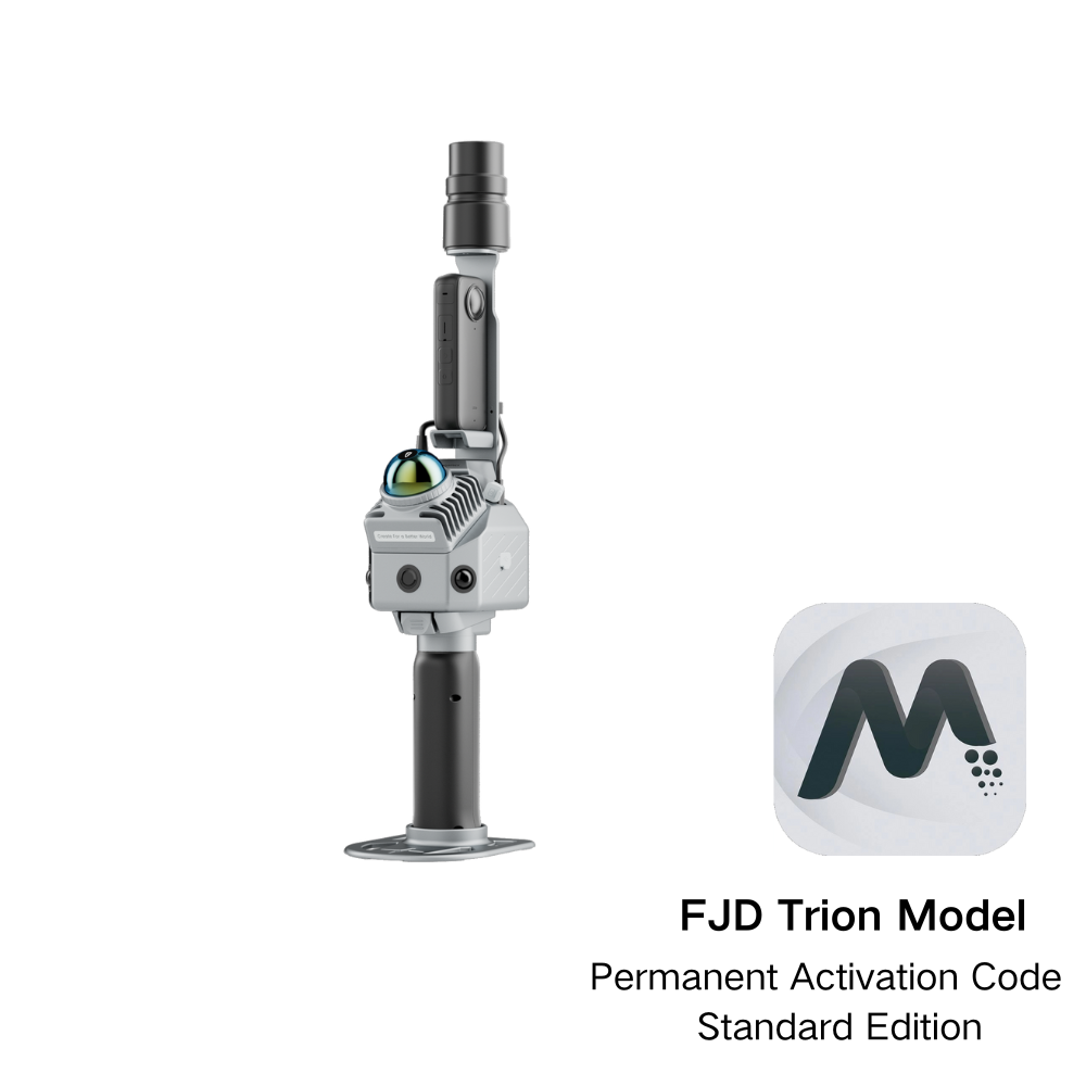
FJD Trion Model
Data processing
Generate construction, forestry,
mining reports, and more

FJD Trion Model for Tablets
Generate Deliverables
iPad and Android support
On-site post-processing and preview

FJD Trion Explorer
Share and collaborate
Share online and support
collaboration across teams.
Estimate Your Workflow Savings
Preview potential cost savings and payback time for FJD Trion scanning workflows.