



Repeated Site Checks
Work areas, boundaries, sprinklers, and missed spots still need to be checked manually.


Work areas, boundaries, sprinklers, and missed spots still need to be checked manually.
Asset data and planning notes are often spread across maps, files, and staff memory.
Area and terrain estimates can delay planning and lead to repeated work or material waste.
Fewer manual course checks
Less coordination time
Searchable work records
Lower repeat surveying Cost
Capture 3D spatial point clouds and GNSS boundary lines using FJD Trion P2 or V4e Pro.
View contours, elevation changes, irrigation lines, and measured areas directly in GolfMind's interactive digital map.
Generate site reports, calculate earthwork & lawn volumes, and share accurate layout data with maintenance teams.
See slopes, elevation changes, low spots, and drainage patterns across the course — without relying only on repeated site checks or outdated maps.
Applications:
#Drainage Planning #Irrigation Updates #Renovation #Low Spot Review
Track tree locations, counts, density, and maintenance notes in one searchable record.
Applications:
#Tree Inventory #Pruning Plans #Safety Review #Landscape Planning
Measure fairways, roughs, bunkers, repair zones, and application areas to plan materials, labor, and budgets with less guesswork.
Applications:
#Spraying #Fertilization #Topdressing #Cost Control
Map sprinklers, control boxes, valves, drainage points, and field assets as searchable layers on your 3D course map — so teams know where to inspect, repair, update, or dig before work begins.
Applications:
#Asset Inspection #Repair Work #System Updates #Field Checks

RTK POSITIONING & LAYOUT
Portable GNSS Solution for Boundary & Layout
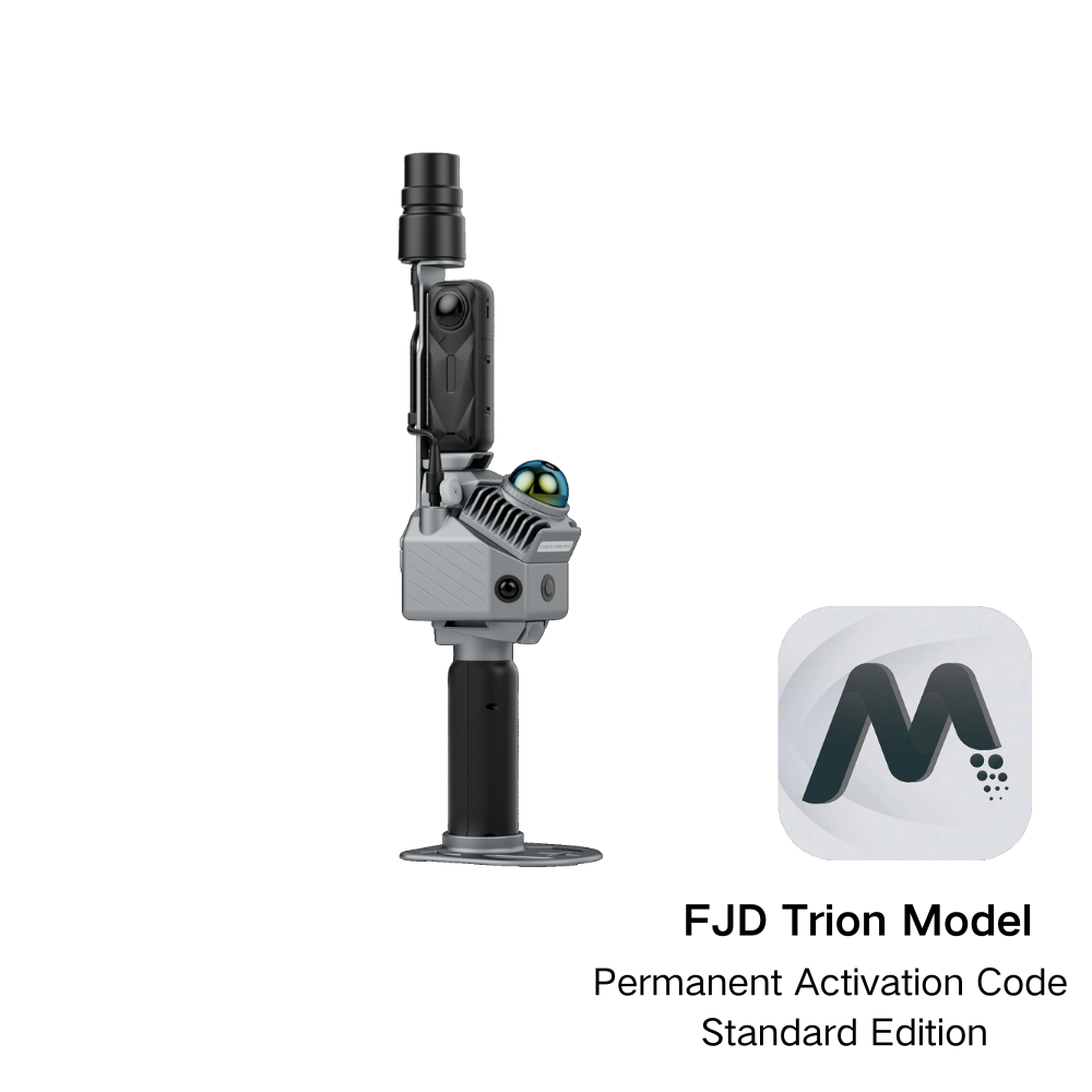
3D TERRAIN & EARTHWORK SCANNING
High-Density 3D LiDAR for Large-Scale Terrain
Combine hardware mapping with GolfMind to digitize your entire course maintenance workflow.