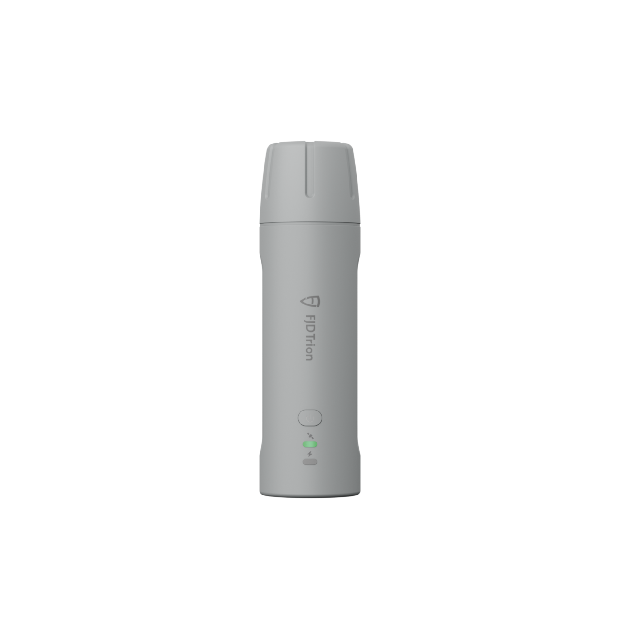
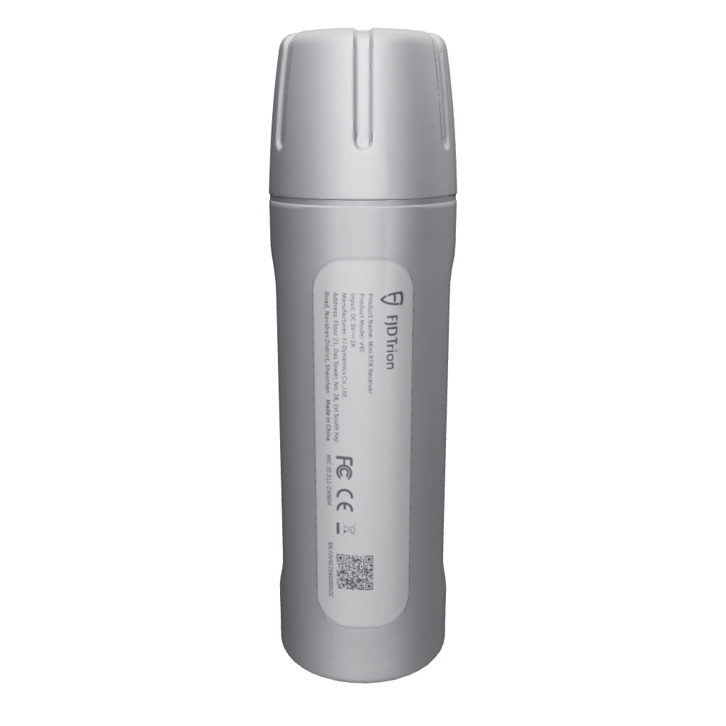
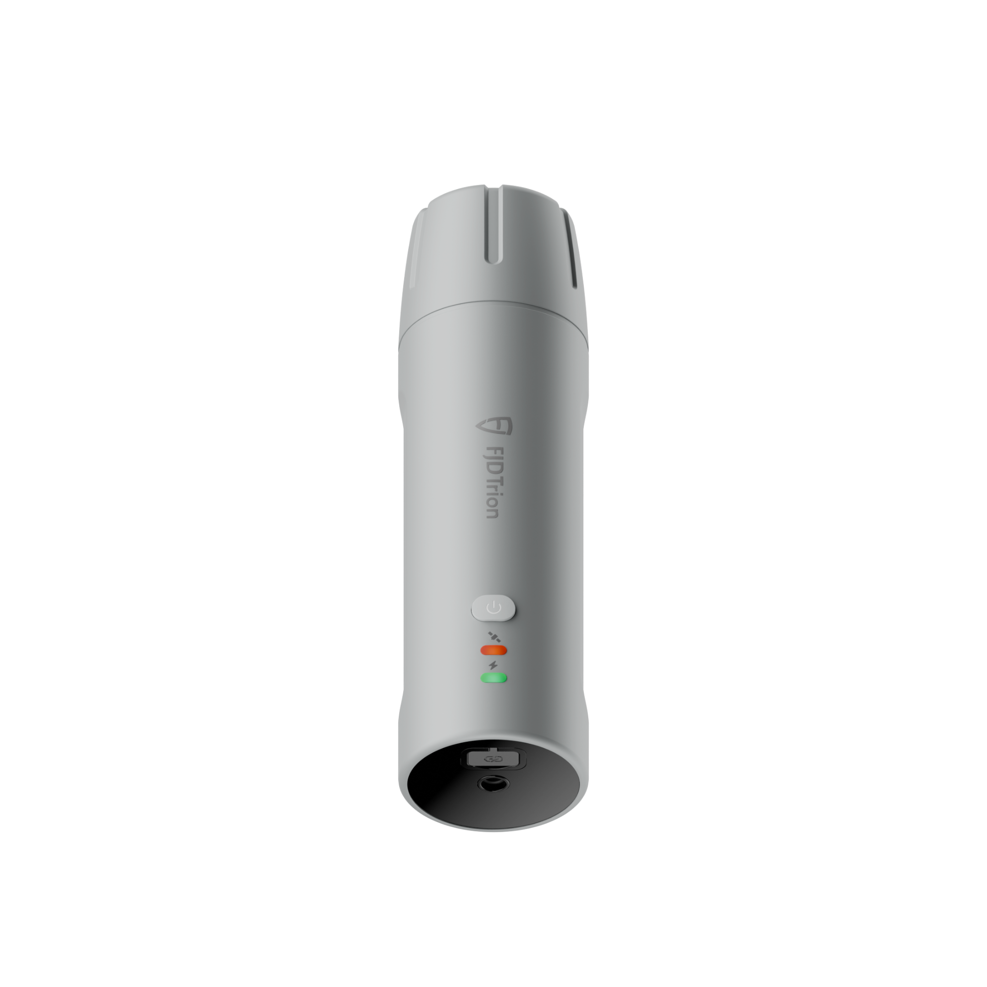
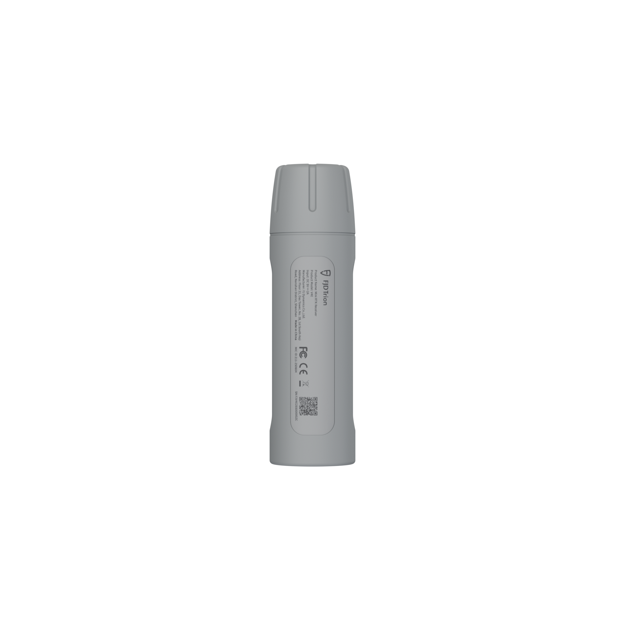
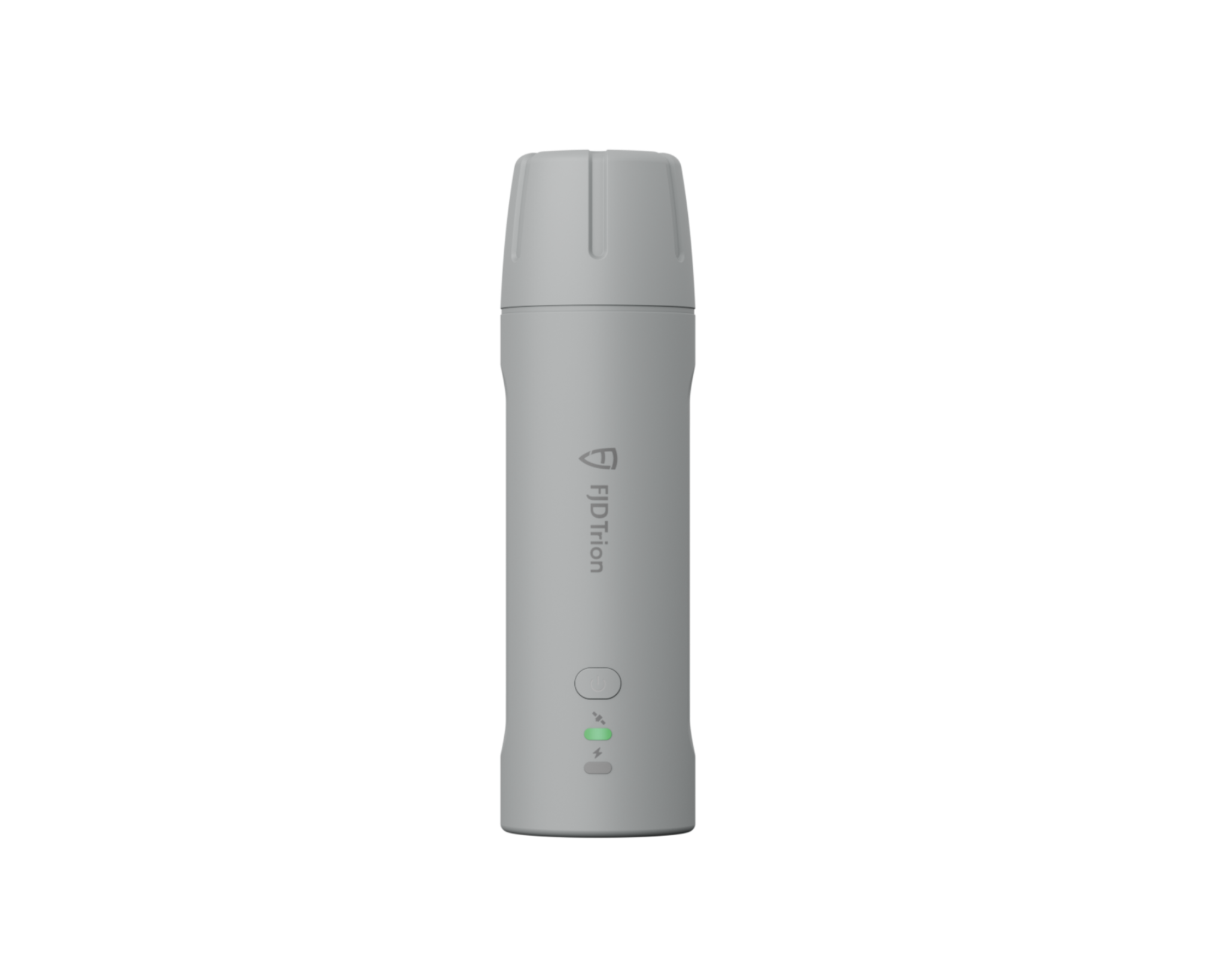
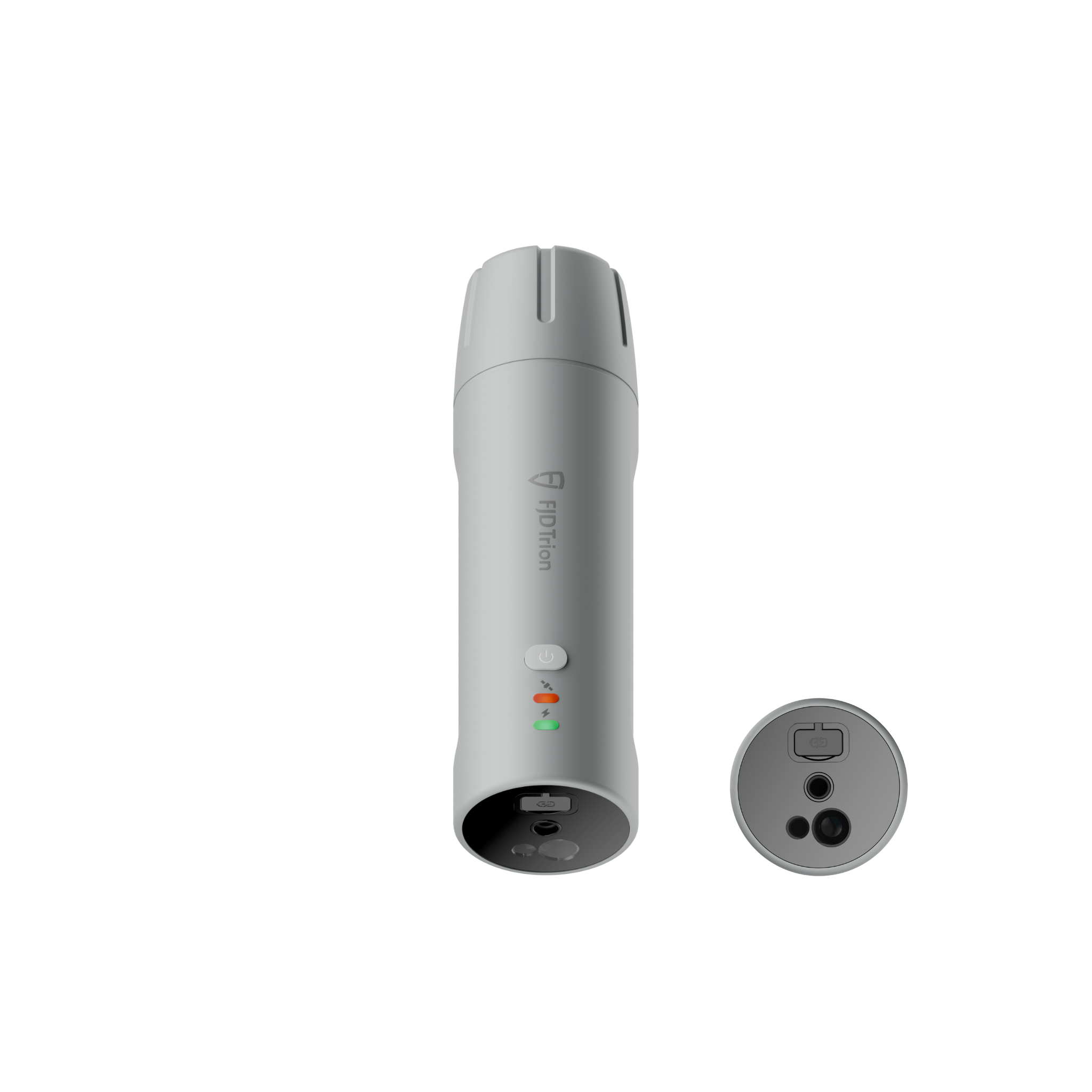
FJD Trion V4e
- Pocket size RTK receiver
- Up to 1.5 cm accuracy
- IP67 protection
- 1.2 m drop tested
- Ultra light at 320 g
- 12-hour runtime per charge

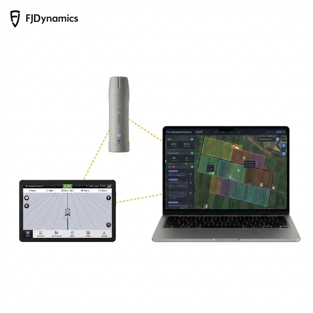
Pairs well with
Fast & free shipping
Leftime customer support
1-Year Warranty
30-day return guarantee
Key Features


Packing List

Choose Your Kit
Essential Kit
Best for: Simple RTK positioning, quick checks, everyday point work
Choose this if: You already have your own device and only need the core receiver.

Survey Kit
Best for: Full surveying workflows on Android, measure and stakeout in one place
Choose this if: You want professional field functions like measurement and stakeout, plus export-ready results.

Field-Pro Kit
Best for: Tough jobsites, long days, dedicated controller workflow
Choose this if: You want a rugged, jobsite-ready setup with a purpose-built controller.

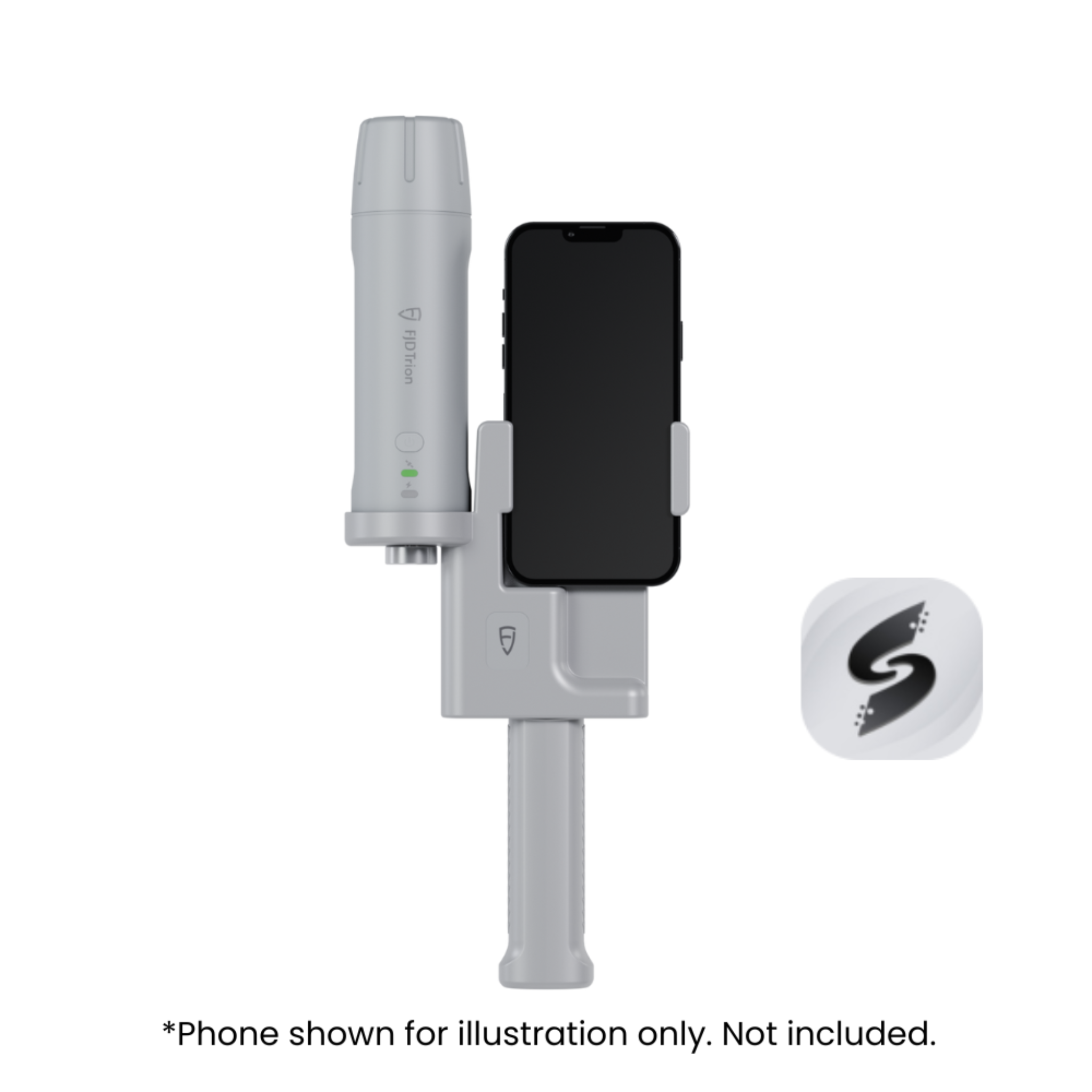
Go-To Scan Kit
Best for: The easiest way to start iPhone-powered 3D scanning
Choose this if: Entry-level 3D scanning with your phone’s LiDAR for quick reference.
*For greater accuracy and larger coverage, choose V4e LiDAR.
If you have any questions, you are always welcome to contact us. We'll get back to you as soon as possible, within 24 hours on weekdays.
-
Shipping Information
- Tax included for EU customers.
- Estimated delivery within 2 weeks.
-
Customer Support
Leave your message and our team will provide professional support.
-
FAQ’s
Check FAQ chart.
-
Contact Us
Feel free to contact us via online chat.
Which V4e is your move?
Everyday RTK made simple. Compact, reliable positioning for stakeout and as built checks.
Built for hard-to-reach points. Tilt compensation and built-in laser rangefinding for faster, more confident targeting.
Outdoor 3D scanning made simple. An RTK-enabled kit for fast, accurate on-site capture.
Scanning Technology
RTK
Scanning Technology
RTK
Scanning Technology
RTK + Iphone's LiDAR
Use Method
Pole-mounted
Use Method
Handheld
Use Method
Handheld
Accuracy
H≤0.8 cm+1 ppm
V≤1.5 cm+1 ppm
Accuracy
H≤0.8 cm+1 ppm
V≤1.5 cm+1 ppm
Accuracy
2.5 cm
Weight
320 g
Weight
320 g
Weight
670g
Waterproof
IP67
Waterproof
IP67
Waterproof
IP67
Where It Works
Outdoor only
Where It Works
Outdoor only
Where It Works
Outdoor
Specifications
Galaxy System ▼
Precision and Reliability ▼
Channel ▼
Data Types ▼
Electrical and Interface Parameters ▼
Communication ▼
Physical Characteristics ▼
FAQs
Please read our FAQs page to find out more.
What is the difference of V4e and V4e Pro?
The main difference between the V4e and the V4e Pro lies in how they are used in the field.
- V4e is designed for pole-mounted use, making it ideal for standard RTK surveying tasks such as stakeout and as-built checks.
- V4e Pro is designed for handheld operation and features tilt compensation and a built-in laser rangefinder, allowing users to measure hard-to-reach or obstructed points without leveling the pole.
Both models offer RTK-level accuracy, but the V4e Pro provides greater flexibility and efficiency in complex environments.
How to use the V4e?
A user manual is included with the product. You can also refer to the video.
Using the V4e is straightforward:
- Mount the V4e securely on a survey pole
- Power on the device and connect it to a compatible controller or mobile device
- Initialize RTK positioning using your correction source
- Perform stakeout, point measurement, or as-built checks
- Record and export survey data using supported software
The pole-mounted design ensures stable and accurate measurements in the field.
What is the warranty of the V4e?
The V4e comes with a 12-month warranty from the date of purchase. You can use it with confidence knowing that we stand behind the quality of our product. If any issues arise, please feel free to contact our support team for assistance.
Can V4e be used indoors and outdoors?
The V4e is primarily designed for outdoor use, where RTK GNSS positioning delivers centimeter-level accuracy.
Its performance depends on GNSS signal availability, making it ideal for open environments such as construction sites, land surveying, and infrastructure projects.
How does the V4e work?
The V4e works by using RTK GNSS technology to provide high-precision positioning.
By receiving satellite signals and real-time correction data, the V4e calculates accurate coordinates and outputs precise positioning results for surveying and mapping tasks.
What can you do with the V4e?
The V4e is suitable for a wide range of standard RTK surveying applications, including:
- Stakeout and as-built checks
- Land and construction surveying
- Infrastructure layout verification
- Field data collection
- General GNSS positioning tasks
Its compact design and reliable performance make it a practical choice for daily surveying work.