

Understanding 3D Scanning and Its Role in Architecture and Landscape Modeling
Before diving into the specific applications, it's important to understand what 3D scanning entails. Simply put, 3D scanning involves the use of laser or light-based technology to create a digital 3D model of a physical object or environment. This model is known as a "point cloud," and it captures every detail with incredible precision, including the shape, size, and spatial relationships of objects in the scanned area.
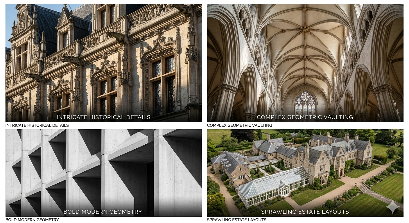
In architecture and landscape modeling, this technology plays a crucial role. For architectural purposes, 3D scanning helps create highly accurate models of buildings, both existing and conceptual. It is used for a variety of purposes, including renovation projects, urban planning, and even construction of new structures. For landscape modeling, 3D scanning aids in preserving and mapping natural environments, enhancing our ability to study and protect outdoor spaces.
Key Benefits of 3D Scanning for Architecture and Landscape Modeling
Accuracy and Detail
One of the most significant benefits of 3D scanning is the level of accuracy it provides. Traditional measurement methods can be error-prone, especially when working with complex structures or large outdoor spaces. With 3D scanning, architects and landscape designers can obtain highly detailed and precise models that capture even the smallest elements of a structure or landscape. This ensures that designs are based on the most reliable data, minimizing mistakes and rework.
Speed and Efficiency
Compared to manual measurements and traditional surveying methods, 3D scanning is considerably faster. It allows users to capture vast amounts of data in a fraction of the time. For example, an entire building or landscape can be scanned in a matter of hours, with minimal disruption to the site. This efficiency is especially beneficial in large-scale projects where time is critical, such as urban planning or landscape conservation.
Cost-Effectiveness
While the initial investment in 3D scanning equipment can be significant, the long-term savings are substantial. The precision of 3D scanning reduces the need for rework, and it helps prevent costly errors during construction or design. Additionally, 3D scanning eliminates the need for manual measurements, which saves time and labor costs.
3D Scanning in Architectural Applications
Building Information Modeling (BIM)
One of the most important applications of 3D scanning in architecture is its role in Building Information Modeling (BIM). BIM is a process that involves creating a digital representation of a building's physical and functional characteristics. By incorporating 3D scanning into BIM workflows, architects and construction professionals can create more accurate models, leading to better collaboration and project coordination.
The FJD Trion P2 and V4e LiDAR scanners are ideal for capturing precise data that can be seamlessly integrated into BIM software. This integration ensures that all team members, from designers to contractors, are working with the same accurate data, reducing errors and miscommunications during the project.
Renovation and Restoration Projects
For historical buildings or structures that need to be renovated or restored, 3D scanning provides an invaluable resource. By capturing the existing condition of a building in great detail, 3D scanning enables architects to understand the building's structure and materials. This data is then used to inform restoration efforts, ensuring that the final result is as close to the original as possible.
In renovation projects, the use of 3D scanning can save time and reduce costs by providing accurate data that eliminates the need for guesswork or trial and error. The precision of the data ensures that all aspects of the restoration, from the layout to the materials used, are accurate.
Urban Planning and Design
3D scanning is also used extensively in urban planning and design. City planners can scan large urban environments to create digital models of entire neighborhoods or districts. This data is used to inform decisions about infrastructure, transportation, and land use.
By using 3D scanning, urban planners can visualize how a new development will impact the surrounding area, ensuring that the design complements existing structures and infrastructure. Additionally, 3D scanning helps to model environmental factors such as sunlight, shadows, and wind patterns, which are crucial for sustainable urban development.
3D Scanning for Landscape Modeling
Environmental Conservation
For conservation efforts, 3D scanning provides a way to document and preserve natural landscapes with precision. Whether it's capturing the details of a forest, a park, or a wetland, 3D scanning enables environmentalists and scientists to create digital models that can be used for future analysis and monitoring. These models provide a baseline for assessing changes in the landscape over time, which is crucial for tracking the impacts of climate change, erosion, or human activity.
Landscape Design
Landscape designers and architects use 3D scanning to model outdoor spaces, from small gardens to large public parks. With accurate, detailed models, designers can experiment with different design elements and visualize how they will interact with the surrounding environment. For example, 3D scanning can capture topographical data that helps designers create designs that respect the natural contours of the land.
FJD Trion Products for Precision Scanning
To achieve the level of detail and accuracy required for architectural and landscape modeling, the right tools are essential. FJD Trion offers advanced scanning solutions like the P2 and V4e LiDAR scanners, both of which are designed to deliver high-precision data for a wide range of applications.
The FJD Trion P2 scanner is known for its versatility and reliability. It is ideal for both architectural and landscape scanning, providing users with a comprehensive solution for capturing detailed data in real-time. The V4e LiDAR scanner, on the other hand, is specifically designed for large-scale projects, offering exceptional range and precision for complex environments.
Both of these tools are equipped with the latest scanning technology, allowing professionals to create 3D models with unmatched accuracy and efficiency. Whether you're working on a small renovation project or a large urban planning initiative, FJD Trion's products provide the tools you need to achieve the best results.
Conclusion
Incorporating 3D scanning into architectural and landscape modeling workflows has revolutionized the way professionals approach design, construction, and conservation. By leveraging advanced tools like the P2 and V4e LiDAR scanners from FJD Trion, architects, designers, and planners can capture highly accurate data that leads to better outcomes and more efficient processes. Whether you're working on a historical building restoration, a new architectural design, or a landscape conservation project, 3D scanning offers the precision, speed, and cost-effectiveness needed to bring your vision to life.
For more information about FJD Trion's products and how they can help you with your next project, visit our store.
From Scan to CAD: How LiDAR Technology is Streamlining the Design Process
What is SLAM LiDAR? How FJD Trion is Revolutionizing Mobile Mapping