



Industry Challenges
Complexity Beyond Manual Reach
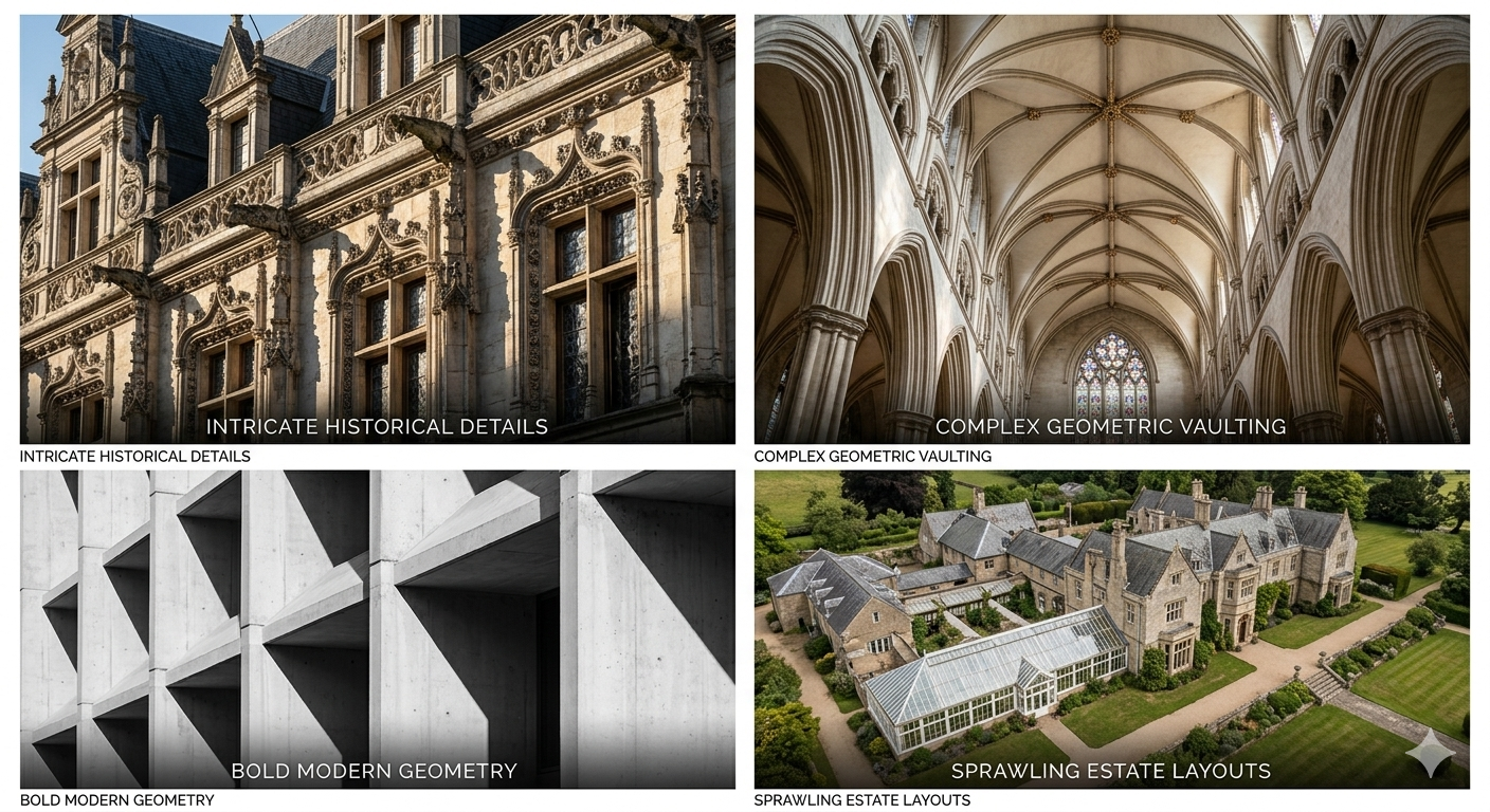
Capturing ornate facades and intricate historical details manually is nearly impossible and prone to error.
Time-Consuming Field Work
Traditional surveying of sprawling botanical gardens and large estates is slow, requiring endless setups.
Incomplete Reality Capture
Conventional tools often miss the "big picture," failing to link architecture with its surrounding landscape.

The Fast-Track Reality Capture Workflow
Phase 1: Rapid On-site Capture
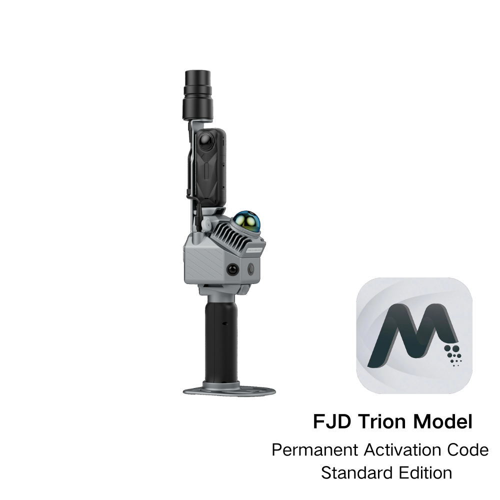
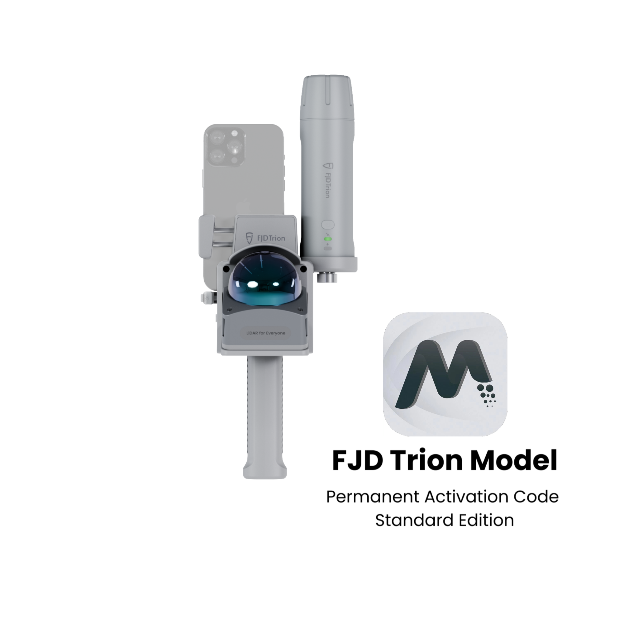
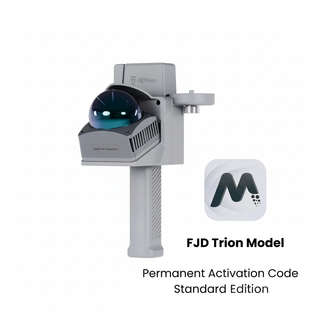
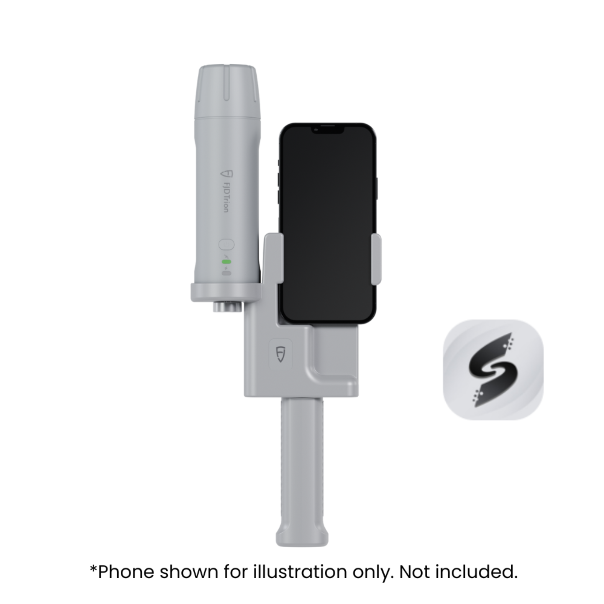
No more tripods. Walk through historical corridors and garden alleys with the FJD Trion handheld scanner.
Phase 2: High-Density Data Processing
Convert raw LiDAR pulses into colorized, high-density point clouds. Capture the texture of stone walls and the geometry of topiary gardens simultaneously.
Phase 3: Digital Deliverables
Seamlessly export data to BIM and CAD software for professional use.
Why Choose V4e Combo for Architecture & Landscape
Faster Scanning, Less Manual Work
Reduce on-site time by up to 80% compared to traditional methods.
Accurate Data with LiDAR
Up to 3 cm post processed precision. Ensure precise data for design and planning.
All-in-One Workflow from Scan to Cloud Platform
Scan, process, and create outputs in one workflow. No need for multiple tools.
Real-Time Results On Site
See results instantly while scanning. Catch missing data and avoid rework.
Portable and Easy to Use
Lightweight and ready in minutes. Easy for anyone to start scanning.
One Scan, Multiple Outputs
Generate point clouds, BIM-ready 3D models and as-built documentation.