





Zero Confined Space Entry
Protect field crews by conducting complete 3D spatial mapping from above ground. Avoid hazardous gases, narrow access tubes, and complex entry permits.

Rapid & High-Density Point Cloud
Capture millions of spatial points in minutes. Powered by high-precision SLAM algorithms, generate true-to-scale 3D models for immediate condition assessment.

Versatile Hardware Extension
Seamlessly mount the FJD Trion P2 or V4e series onto lightweight carbon fiber extension poles or lowering rigs for deep vertical profiling.
Workflow

01
Setup & Deployment
Attach the LiDAR scanner to the extension pole or lowering harness and power on the system.


02
Surface-to-Depth Scan
Lower the device smoothly into the manhole or underground vault to collect full 360° 3D structural data.

03
Data Processing
Import point clouds into FJD Trion Model / Model Web software for noise filtering and point cloud registration.

04
Deliverables & Analysis
Export cross-sections, 2D CAD drawings, or 3D mesh files for structural defect inspection, volume measurement, and asset management.
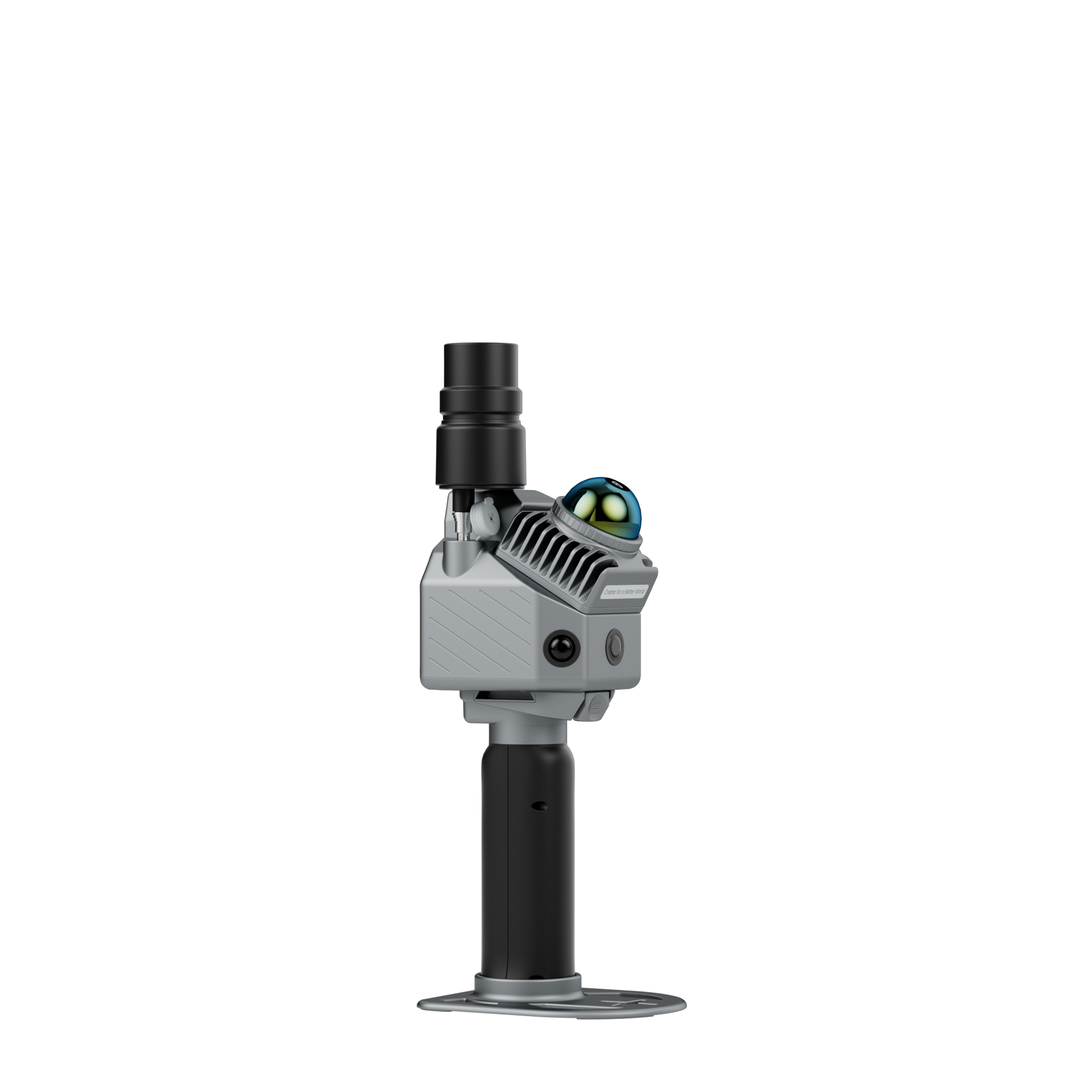
Manhole Inspection Bundle
Equip your FJD Trion P2 with a carbon fiber extension pole for rapid, non-entry 3D LiDAR scanning of manholes, sewers, and underground chambers.
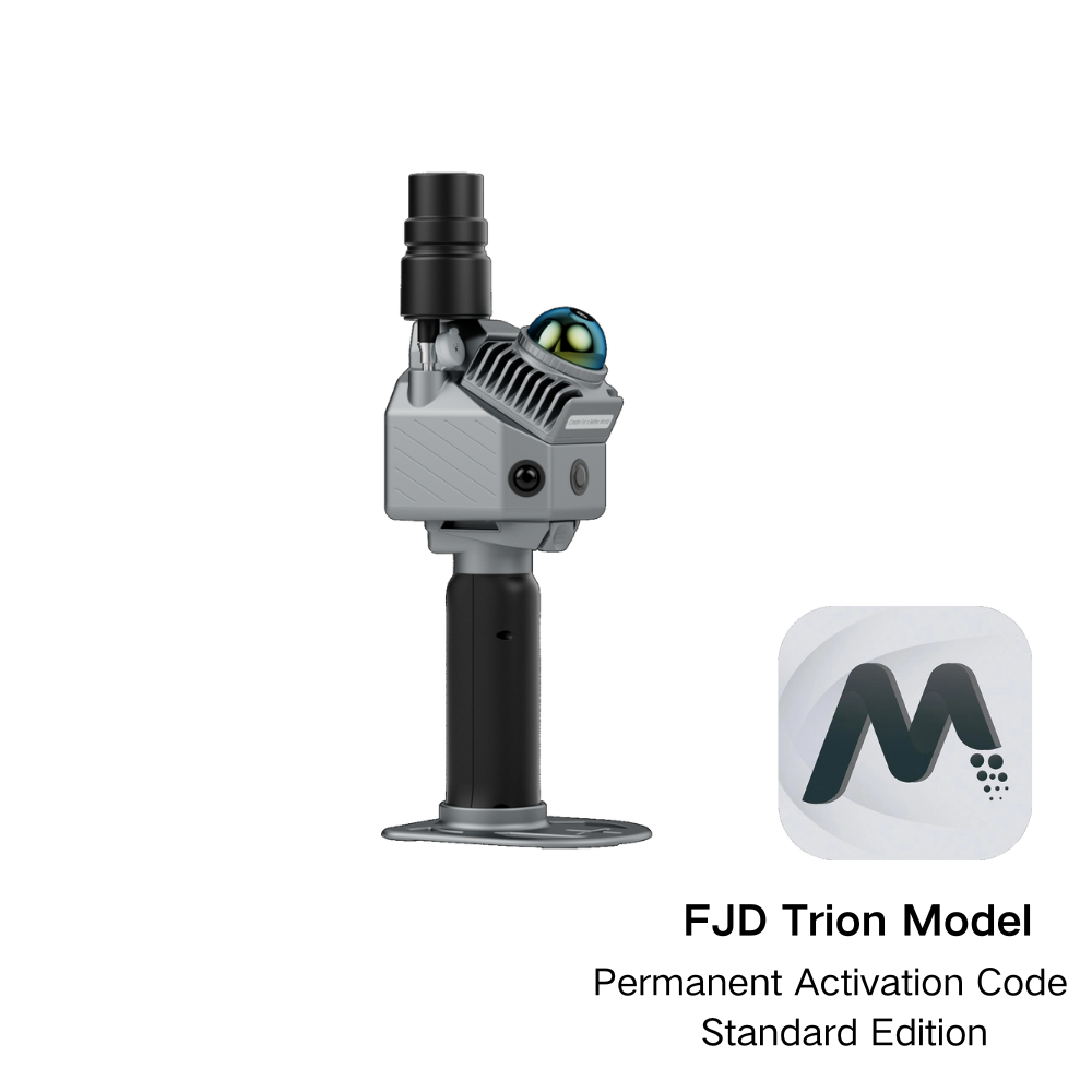

Extension Pole For FJD Trion P2