




Traditional Methods Are Holding You Back
Traffic Control Becomes The Real Bottleneck
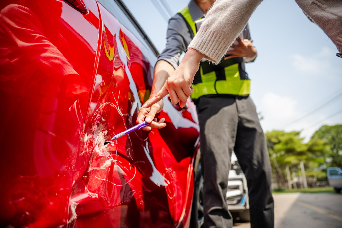
Manual measurements keep lanes closed for 2 to 4 hours, quickly turning a single accident into widespread traffic congestion.
Critical Details Can Be Missed
Handwritten notes and manual measurements make it difficult to capture every spatial detail, raising the likelihood of disputes during liability determination.
Disconnected data hinders full-scene insight
Even when police, insurance, and judicial teams collect data thoroughly, 2D records cannot retain spatial relationships. The result? Repeated effort and delayed reconstruction.
Why Choose FJD Trion?
Capture accident scenes in minutes, create precise 3D models, and share a single source of truth for fast, reliable, court-ready evidence.
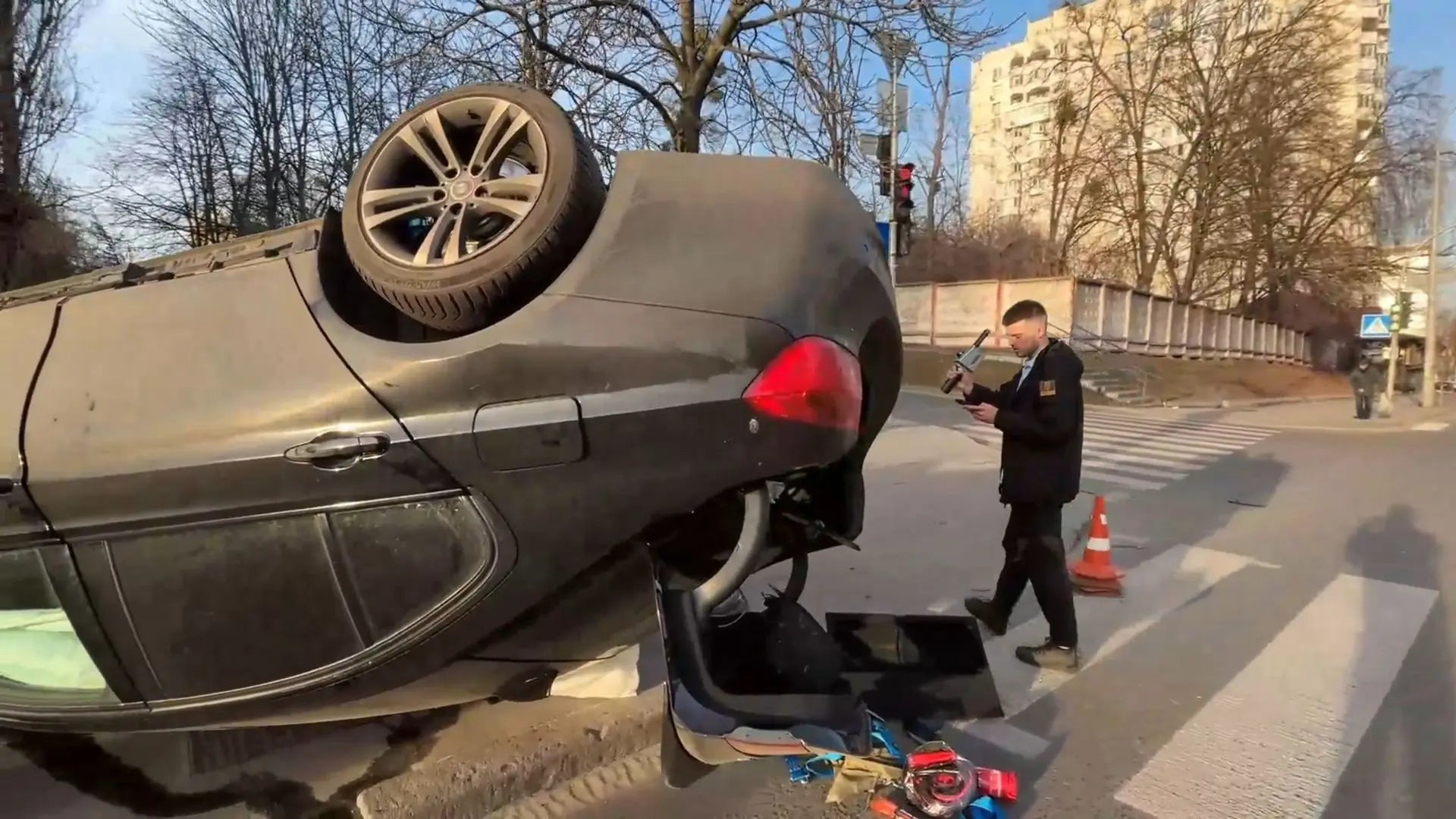
Clear the Road in Minutes
Minimize traffic disruption with a simple walk-and-scan workflow that captures complete scene data in minutes, allowing faster road clearance.
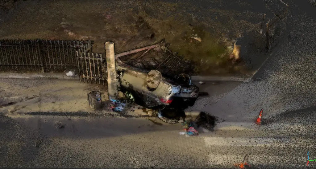
Zero-Gap Evidence
Move beyond 2D photos. Generate a measurable 3D model that preserves vehicle deformation, ground traces, and spatial relationships with centimeter-level accuracy for verification and analysis.
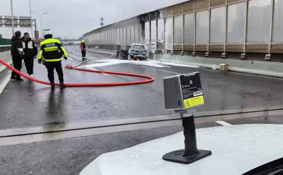
Seamless Record Sharing
Build one shared 3D source of truth for all departments, reducing repeated fieldwork and ensuring consistent, court-ready evidence.
On-Site Time
Higher Accuracy
Less Rework
Faster Response
How it works
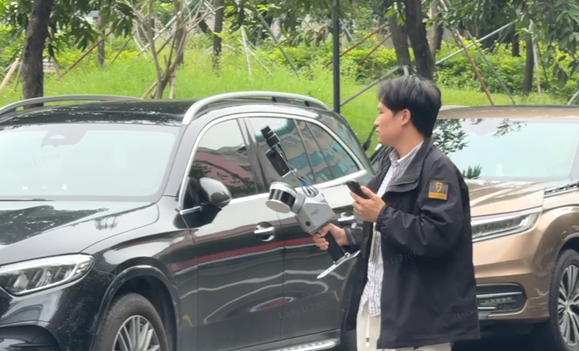
1. Capture Evidence
Scan the accident scene with the Trion 3D scanner using a simple walk-and-scan workflow. High-quality 3D scene data is captured in minutes, even in complex or low-light environments.
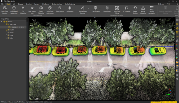
2. Process the Data
Import the data into FJD Trion Model for automatic alignment and mapping, producing a clean, colorized, georeferenced point cloud that’s ready for accurate measurement and analysis.
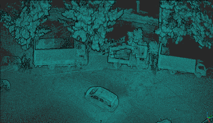
3. Draft a Scene Diagram
Generate standardized base maps, vector drawings, measurements, and traceable reports directly from the point cloud to support detailed accident investigation analysis.

4. Reconstruct the Accident
Generate detailed 3D mesh models of the scene and vehicles, then integrate them with traffic simulation software to reconstruct accidents and support interactive analysis.
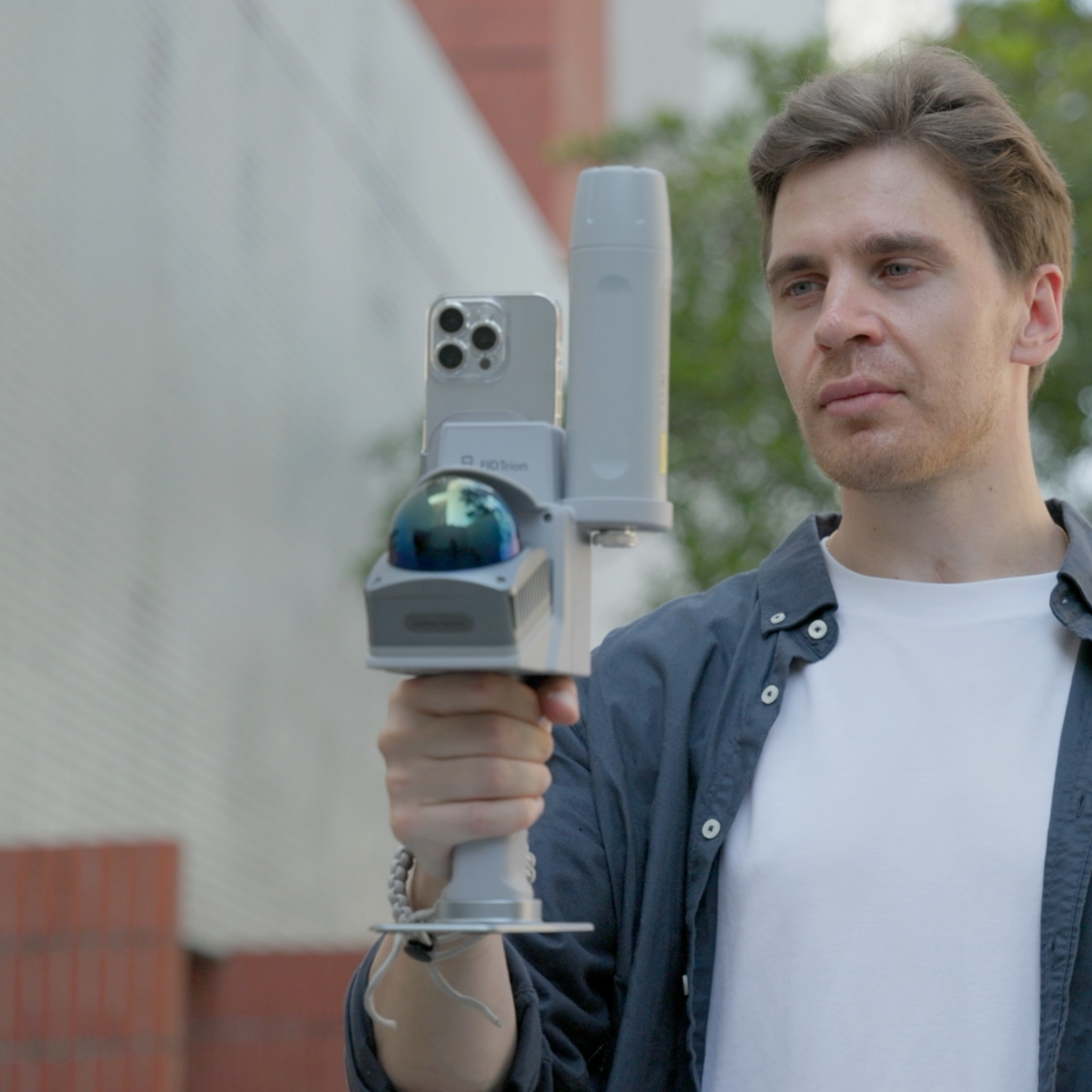
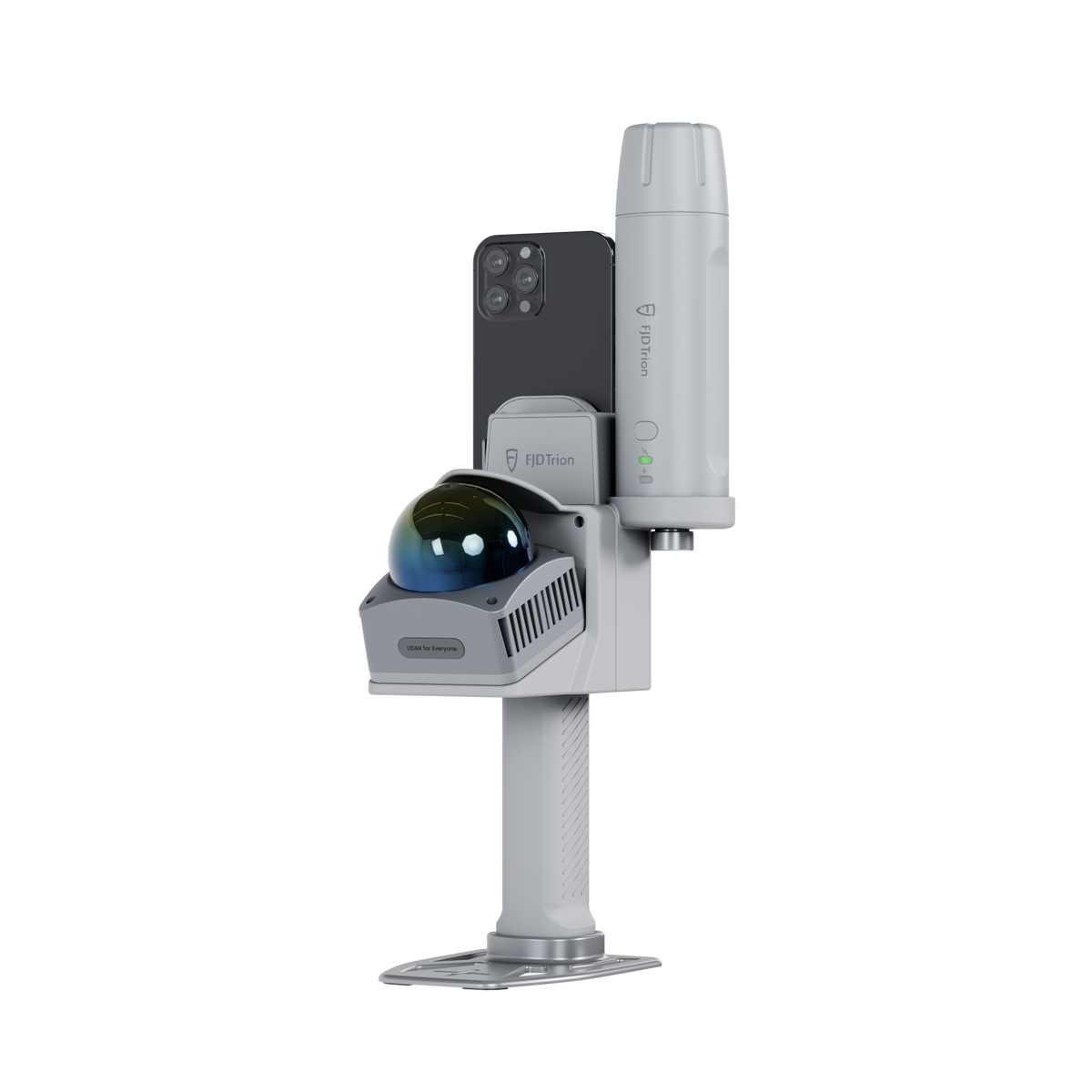

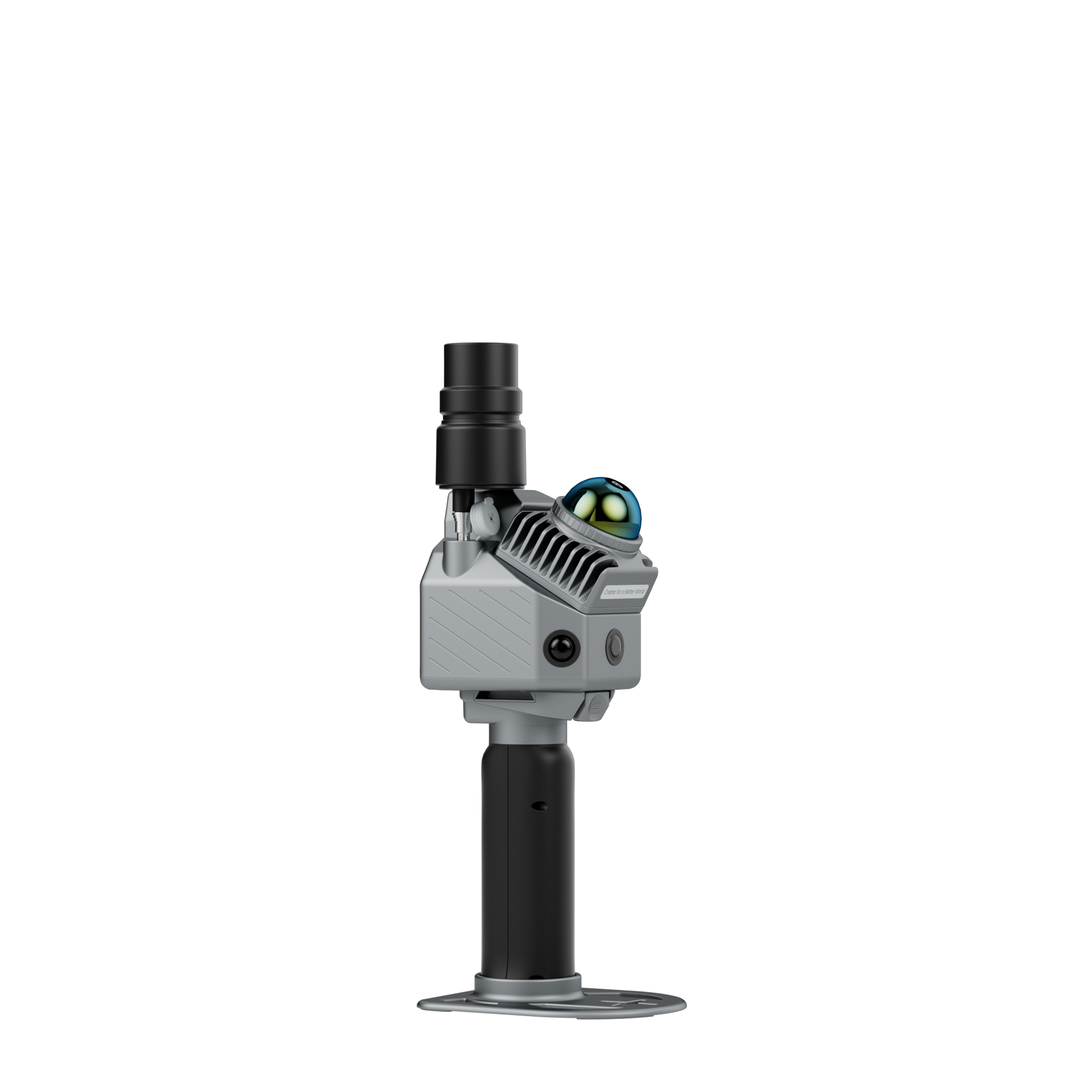
Pro Accident Scene Reconstruction Kit
Capture detailed accident and case scenes with the FJD Trion P2, then survey point clouds, add precise measurements and annotations, and generate investigation reports with the Site Survey Module.
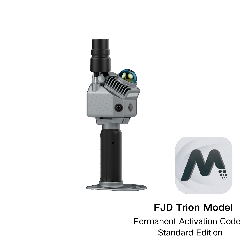
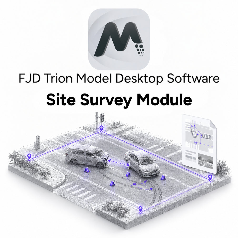
FJD Trion Model | Site Survey Module
What people
are saying
Regional Traffic Police DepartmentEuropeUsing the FJD Trion P2 has completely transformed how we handle critical measurements and investigations. What used to take hours with the risk of losing vital data can now be completed in minutes with pinpoint accuracy.
BeforeTraditional measurement and scanning methods in accident investigations and planning were time-consuming and prone to human error. Manual measurements, sketches, and photos often led to delayed responses and the risk of missing critical information, complicating case documentation and hindering progress.
AfterWith the FJD Trion V4e LiDAR or FJD Trion P2, accident scenes and construction sites can now be documented in just 5 minutes. These advanced solutions leverage accurate 3D models, real-time data processing, and digital evidence archiving, enabling faster, more accurate investigations and ensuring smooth cross-agency data sharing. These tools help improve investigation speed, accuracy, and traceability, making the entire process more efficient.