

Introduction: What is RTK LiDAR and Why Does Accuracy Matter?
LiDAR (Light Detection and Ranging) is an advanced technology used for measuring distances and generating precise 3D models of environments. When combined with RTK (Real-Time Kinematic) positioning, LiDAR accuracy reaches new levels of precision, transforming industries such as surveying, construction, and architecture. RTK LiDAR integrates GNSS (Global Navigation Satellite Systems) data with LiDAR scanning, ensuring that the captured data is not only precise but also georeferenced to real-world coordinates.
For professionals in surveying, construction, and architecture, achieving high accuracy is essential for successful project outcomes. RTK LiDAR helps deliver centimeter-level accuracy, which significantly enhances the reliability of measurements and provides accurate 3D representations, improving the overall quality of data used in these industries.
How RTK LiDAR Works: Technology Behind the Accuracy
RTK LiDAR scanners integrate GNSS technology with the traditional LiDAR system to achieve high-precision results. GNSS technology uses satellite signals to determine the position of the scanner with incredible accuracy, while LiDAR uses laser pulses to create a 3D map of the environment. By combining both technologies, RTK LiDAR systems can ensure that every point measured by the laser is accurately mapped to real-world coordinates.
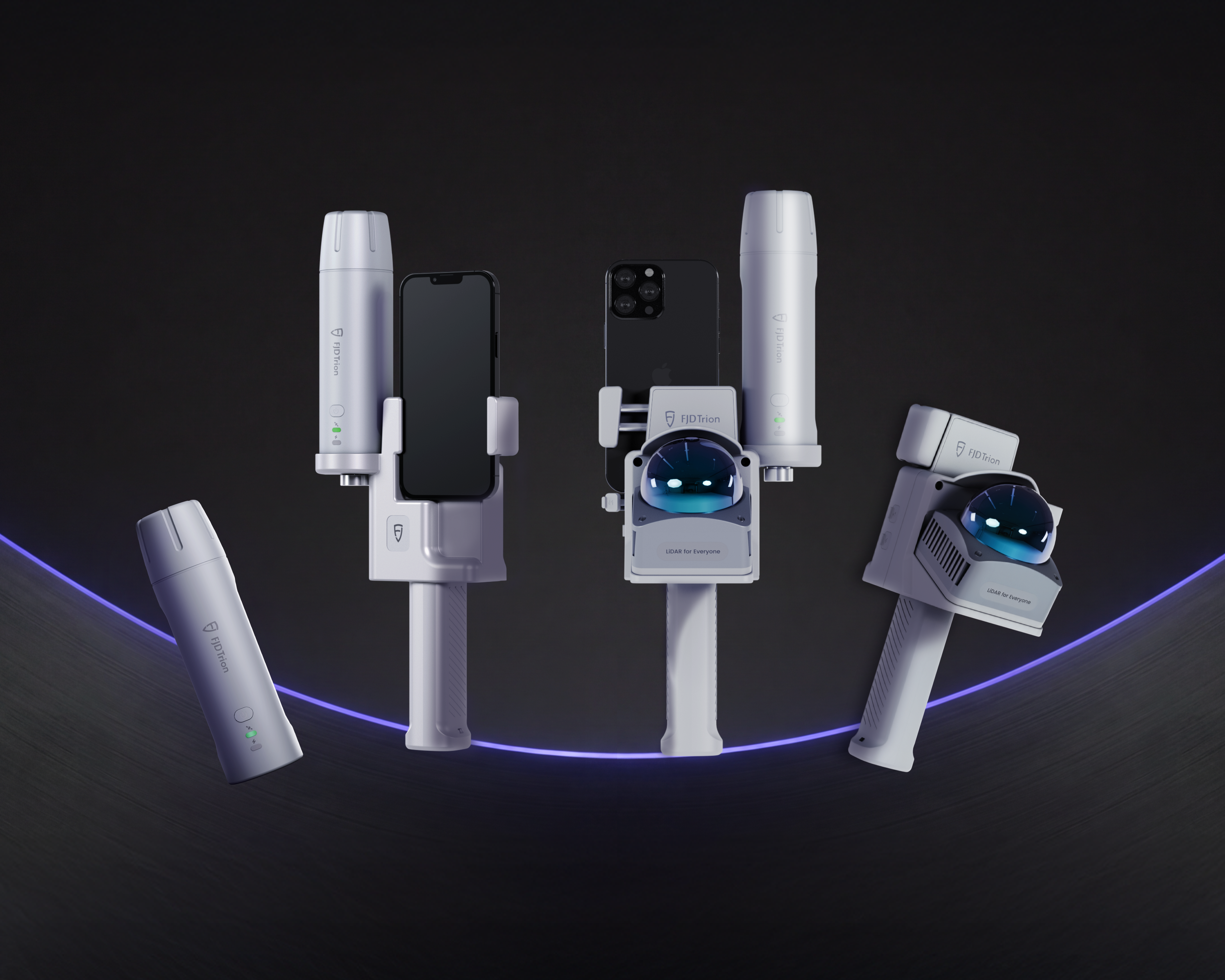
The FJD Trion V4e LiDAR series and P2 LiDAR scanner both integrate RTK technology, delivering centimeter-level accuracy that’s crucial for precision tasks like mapping, modeling, and planning.
The Benefits of RTK LiDAR Accuracy in Surveying
In the surveying industry, accurate measurements are crucial for tasks such as land mapping, boundary marking, and topographic surveys. With RTK LiDAR, surveying professionals can achieve real-time georeferencing, meaning the data collected is immediately mapped to the correct location on Earth.
The FJD Trion V4e LiDAR offers a high level of precision and provides GNSS integration that enhances the accuracy of its point cloud outputs. This makes it perfect for site analysis, where precise data is essential for creating reliable models of the environment. The integration of RTK ensures that even in challenging environments, like large open fields or urban areas with obstructions, the accuracy of the data is maintained.
RTK LiDAR Accuracy Benefits in Construction
In construction, precise data is critical for site planning, building design, and quality control. RTK LiDAR ensures that construction projects are built based on highly accurate data, reducing the risk of costly errors and rework.
The FJD Trion V4e and P2 LiDAR scanners can be used for scanning building facades, topographic surveys, and construction site layouts. With RTK accuracy, the scanners provide the necessary precision for BIM (Building Information Modeling) integration and CAD designs. This accuracy helps construction professionals ensure that every measurement is exact, improving both the planning and execution phases of construction projects.
Architectural Applications of RTK LiDAR Accuracy
For architects, creating highly detailed and accurate 3D models of buildings and environments is a key part of the design process. RTK LiDAR technology plays an essential role in these efforts by providing a reliable method of capturing complex architectural structures with precise measurements.
Both the V4e LiDAR and P2 LiDAR scanner are ideal for creating digital twins of buildings, which are increasingly used for renovations, restorations, and historical preservation projects. The accuracy offered by RTK LiDAR ensures that the data collected during scanning is not only precise but also aligned with existing architectural plans.
For example, the P2 LiDAR scanner features a real-time colorization process and offers up to 1.2 cm accuracy. This makes it particularly well-suited for architectural projects that require both visual clarity and measurement accuracy.
Comparison of FJD Trion V4e LiDAR and P2 LiDAR for RTK Accuracy
Both the V4e LiDAR series and the P2 LiDAR scanner are equipped with RTK capabilities, but they cater to slightly different needs in terms of size, weight, and application.
FJD Trion V4e LiDAR
Known for its lightweight design and high portability, the V4e series is perfect for professionals who need a versatile and easy-to-carry LiDAR scanner. It offers excellent RTK accuracy and can handle both indoor and outdoor scanning with ease.
FJD Trion P2 LiDAR
The P2 LiDAR scanner is a high-performance device built for more demanding environments. With multi-SLAM algorithms and real-time colorization, the P2 excels at capturing large, complex landscapes and architectural details. It features 1.2 cm accuracy and is ideal for high-density data capture, making it a great option for large-scale surveying and mapping projects.
While both models feature RTK positioning, the P2 LiDAR is more suited for high-precision tasks that require real-time processing and dense point clouds, while the V4e LiDAR offers a more compact and portable solution for general scanning needs.
Why Choose RTK LiDAR for Your Next Project?
The precision provided by RTK LiDAR is essential for professionals in surveying, construction, and architecture who rely on accurate data for their projects. Whether you’re looking to improve your surveying accuracy, enhance your construction planning, or create detailed architectural models, RTK LiDAR scanners like the V4e LiDAR and P2 LiDAR offer unmatched performance.
With the ability to provide real-time, georeferenced point clouds, these scanners streamline workflows and reduce errors, which ultimately leads to faster project completion times and higher-quality results.
For those looking to purchase a reliable and accurate LiDAR scanner, the FJD Trion V4e LiDAR and P2 LiDAR are both available at our online store, offering cutting-edge technology to meet the needs of modern professionals.
Conclusion: The Future of RTK LiDAR Technology in Surveying, Construction, and Architecture
As RTK LiDAR technology continues to evolve, its role in industries like surveying, construction, and architecture will only grow in importance. By offering centimeter-level accuracy and real-time georeferencing, these scanners enable professionals to work with unprecedented precision, enhancing their ability to deliver top-quality results.
With products like the FJD Trion V4e LiDAR and P2 LiDAR, the future of LiDAR scanning is in safe hands. These innovative tools are helping shape the future of 3D mapping, BIM, and geospatial data collection, making them indispensable in today’s world of precision technology.
How to Use Handheld 3D LiDAR Scanners
Can I Use RTK Handheld Receiver with a Smartphone?