



3D Modeling Blogs
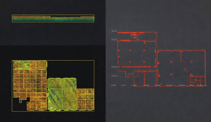
From Scan to CAD: How LiDAR Technology is Streamlining the Design Process
Discover how FJD Trion V4e LiDAR scanner are revolutionizing the design process. Learn how Scan to CAD solutions improve accuracy, efficiency, and collaboration for design professionals.

Interior Design from LiDAR Scan to Cloud-Based 3D Model Processing
Explore how FJD Trion's V4e LiDAR and Model Web revolutionize interior design workflows with precise LiDAR scanning and cloud-based 3D model processing. Enhance efficiency, accuracy, and collaboration in your design projects.
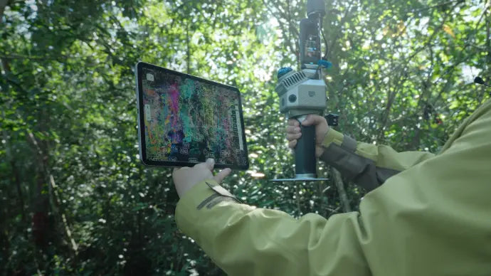
Does FJD Trion P2 Support 3DGS (3D Gaussian Splatting) Workflows?
Learn how the FJD Trion P2 handheld LiDAR scanner supports 3D Gaussian Splatting (3DGS) workflows. Explore its high-density point clouds, HyperDense+ feature, and real-time colorization capabilities for creating immersive 3D models.
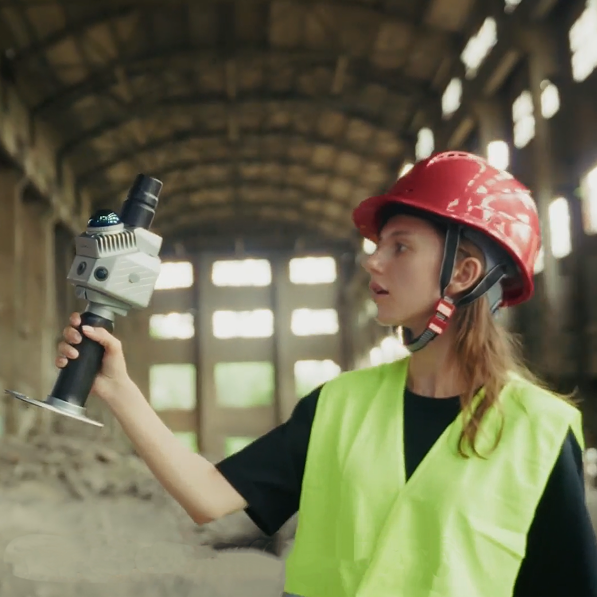
How to get colorized point clouds with FJD Trion P2 scanner?
Learn how to create colorized point clouds using the FJD Trion P2 handheld LiDAR scanner. This comprehensive guide covers the process, applications, and advantages of the Trion P2, helping you enhance 3D scanning accuracy and efficiency with real-time colorization.
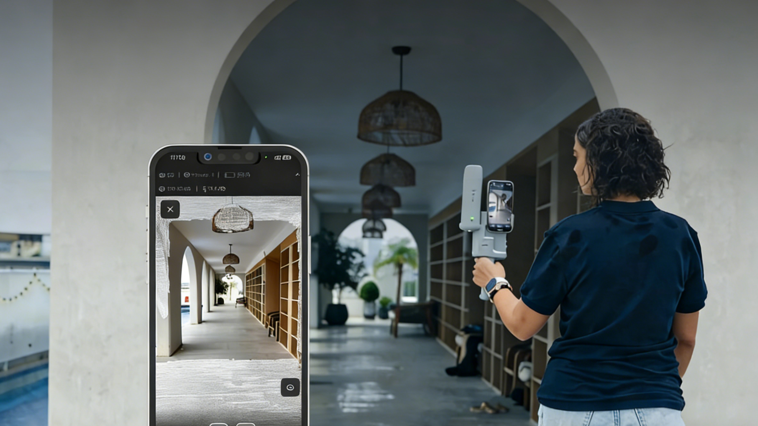
How to Calculate Stockpile Volume Fast with a Handheld LiDAR Scanner
Learn how to calculate stockpile volume fast using a professional handheld LiDAR scanner. Master SLAM technology for mining and digital twin for construction. Explore accurate volumetric calculation software and buy the FJD Trion V4e at our official store today!
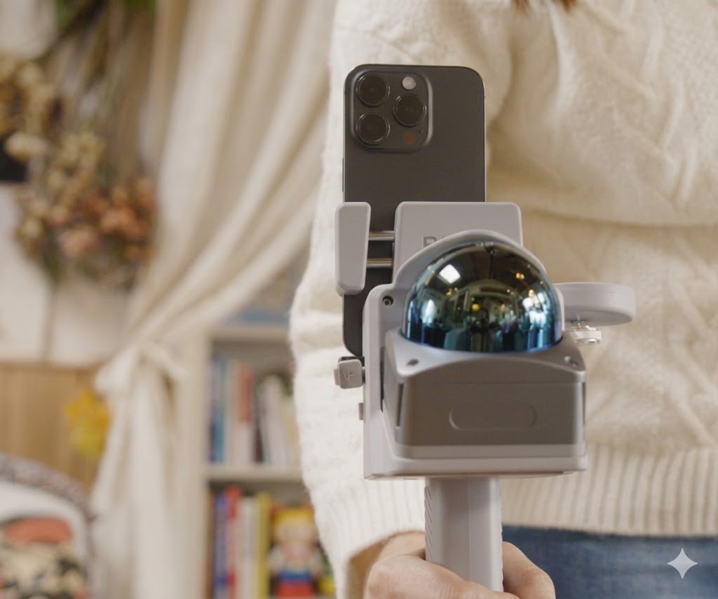
Cinematic 3DGS with Professional Portable FJD Trion V4e LiDAR Scanner
Create stunning cinematic digital twins with 3DGS! Discover why the FJD Trion V4e is the best professional portable LiDAR scanner for Gaussian Splatting. High-precision SLAM point clouds for sale now. Buy your professional grade LiDAR at the FJD Trion store and elevate your 3D modeling workflow today!