



3D Modeling Blogs
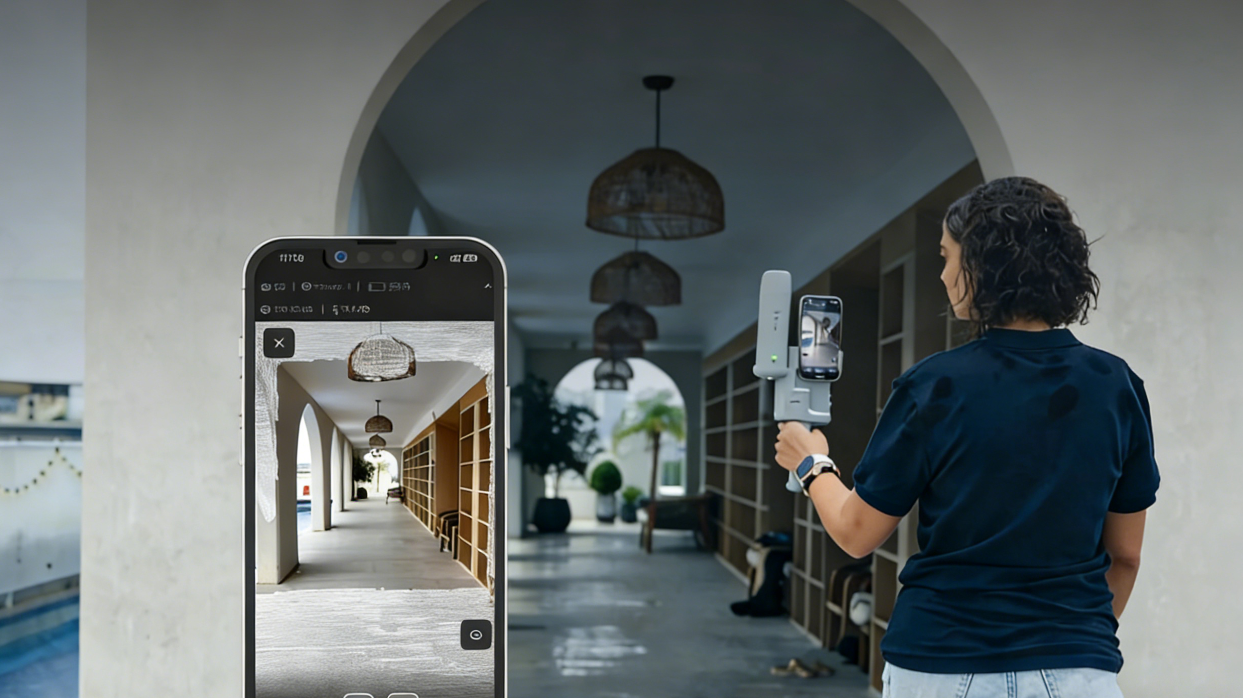
Turning Your iPhone into a Professional Grade Portable LiDAR Scanner
Learn how to turn iPhone into a professional grade portable LiDAR scanner with FJD Trion V4e Scan or upgrade to V4e LiDAR for centimeter-level precision. Explore real-time SLAM technology and 3D scanning at our store today!
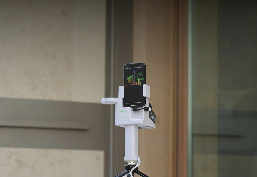
Can I Use RTK Handheld Receiver with a Smartphone?
Discover how RTK handheld receivers, like the FJD Trion V4e Scan and Pro, can be integrated with smartphones for enhanced precision in surveying, construction, and architecture. Learn how to achieve centimeter-level accuracy and streamline your data collection process.
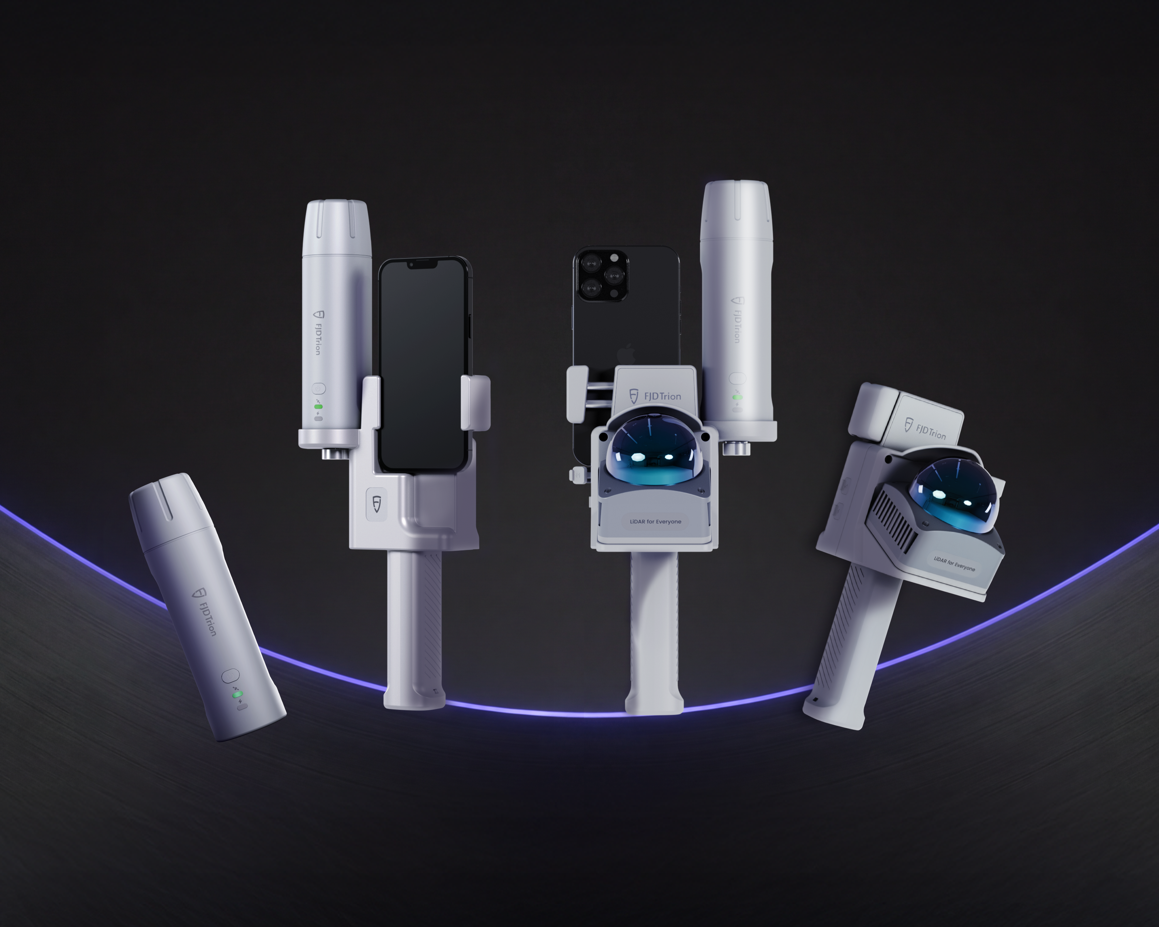
How RTK LiDAR Accuracy Enhances Precision in Surveying, Construction
Explore how RTK LiDAR technology enhances accuracy in surveying, construction, and architecture. Learn how FJD Trion V4e and P2 LiDAR scanners deliver precise, real-time georeferenced data for your next project.

How to Use Handheld 3D LiDAR Scanners
Discover how to effectively use handheld 3D LiDAR scanners, including the FJD Trion V4e LiDAR. Learn about its features, applications in surveying, construction, and architecture, and get expert tips on how to make the most of this powerful scanning technology.

Affordable Professional LiDAR: Breaking Down the FJD Trion V4e Price vs. Performance
Looking for an affordable professional LiDAR scanner? Compare the FJD Trion V4e price vs. performance. Discover why it’s the best budget handheld SLAM scanner for architects. Buy your professional grade portable LiDAR for sale at our official store today!
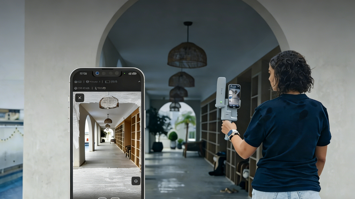
SLAM Surveying vs Traditional Survey Methods: Pros, Cons, and Accuracy
Compare SLAM surveying vs traditional survey methods, including accuracy, speed, and efficiency. Learn how LiDAR scanners and mobile mapping improve modern surveying workflows.